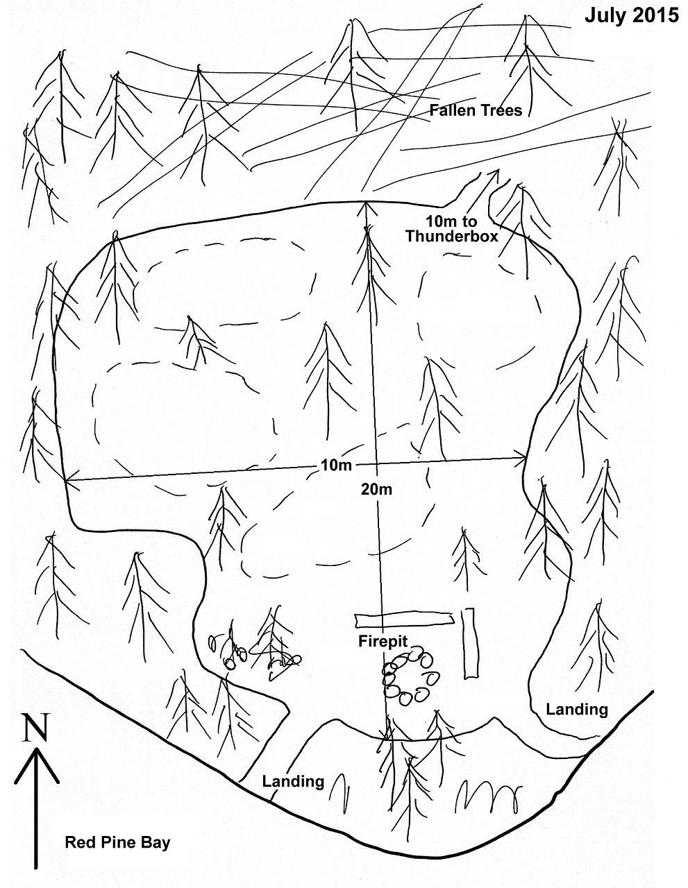
 Red Pine Bay Campsite #6
Campsite Location
GPS - UTM location (optional): N45° 49.790' W78° 38.410'
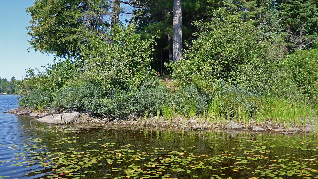
Landing
There are 2 similar landing areas.
Topography of under-water approach: Small rock and gravel.
Impediments to disembarking from and/or unloading a canoe: None.
Topography leading to tent sites: A short carry on a grassy path.
 |
|
| - Landing on the southeast shore. | |
Campsite
Regular or low-maintenance: Regular
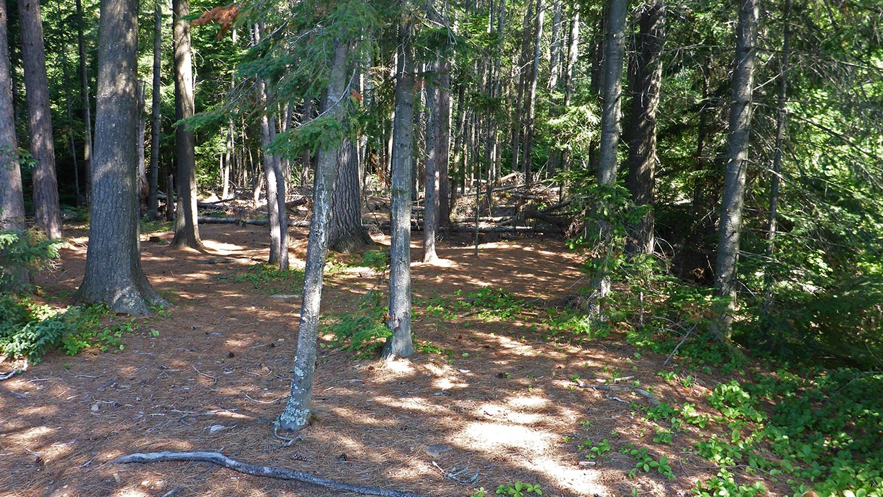
Size of open ground area: 20m x 10m.
Extent of tree cover: 80% mostly at the rear.
Degree of levelness: Level.
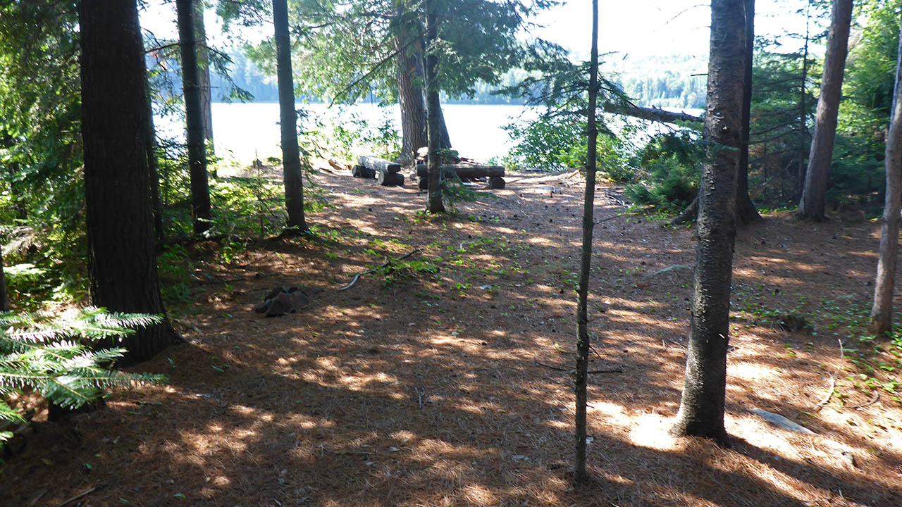
Number of tent sites: Numerous.
North exposure: Trees.
East exposure: Trees.
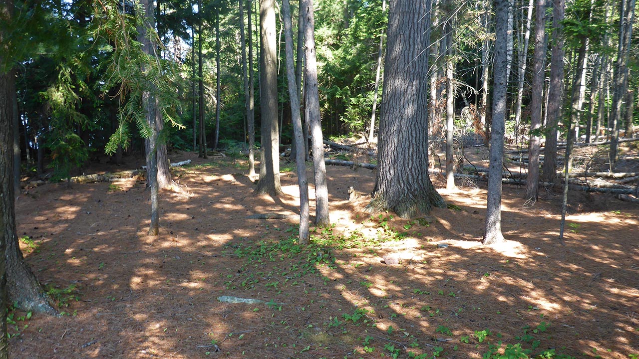
South exposure: View of lake.
West exposure: Trees and view of lake.
 |
|
| - View north of east side of the site. | |
 |
|
| - Looking from top of the firepit to the west side of site. | |
 |
|
| - Looking from northeast tentpad toward firepit. | |
General description: The firepit is located on the open southern tip of this large, flat site. There are numerous tent placement options, even thou the site is broken up by many trees. No need to look far for firewood since the back (north) of the site is a blow-down of many trees that are ready to burn (bring a saw).
Overall accessibility: No accessibility issues as the water is shallow, and the carry to the site is short, and the site is very level.
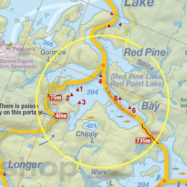
Thanks to Jeffrey McMurtrie of Jeff'sMap for supplying the base-layer map component by Creative Commons licensing.
Submitted by: Chris Taylor .. Visited July 2015 .. Submission November 28th, 2015