 Red Pine Bay Campsite #5
Campsite Location
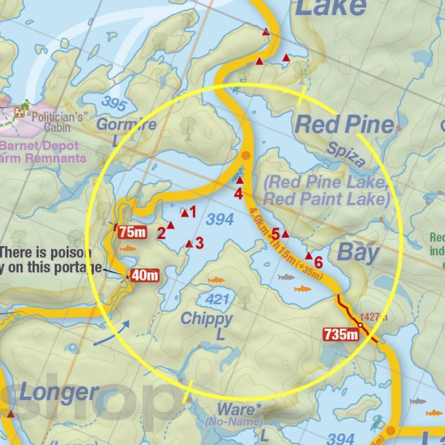
GPS - UTM location (optional): N45° 49.853' W78° 38.662'
Landing
Topography of under-water approach: Small and medium sized rock.
Impediments to disembarking from and/or unloading a canoe: None.
Topography leading to tent sites: A short 1m climb on to the actual campsite.
 |
|
| - View of the site from the water. | |
 |
|
| - The path from the landing to the site. | |
Campsite
Regular or low-maintenance: Regular
Size of open ground area: 5m x 4m and 3m x 3m.
Extent of tree cover: 10% at the front, 80% at the rear tentpad.
Degree of levelness: Level.
Number of tent sites: 2 tent sites.
North exposure: Trees.
East exposure: Trees.
South exposure: View of lake.
West exposure: View of lake.
 |
|
| - Looking from the southern tip of the site. | |
 |
|
| - The northmost tentpad seen from the path to the thunderbox. | |
 |
|
| - Tentsite and firepit, seen from the northern tentpad. | |
General description: Small site able to accomodate 2 tents. Very level and smooth. Front of site is sparsely covered, while back tentpad has significant shade.
Overall accessibility: Landing and disembarking have no issues, there is a short carry over some rock up a path to the site.

Thanks to Jeffrey McMurtrie of Jeff'sMap for supplying the base-layer map component by Creative Commons licensing.
Submitted by: Chris Taylor .. Visited July 2015 .. Submission November 28th, 2015