 Queer Lake Campsite #12
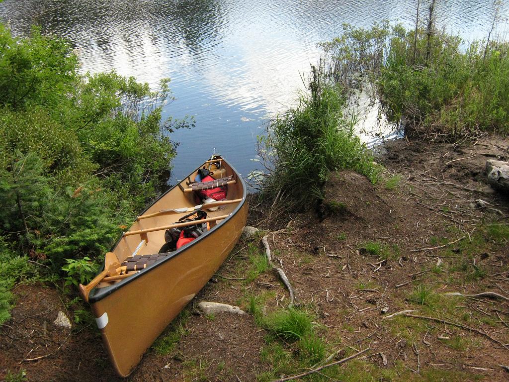
Landing
Topography of under-water approach: Shallow mucky organic bottom area on south side of point.
Impediments to disembarking from and/or unloading a canoe: Step-out into shallow muck. Easy to slide canoe up onto sloped dirt-and-root landing.
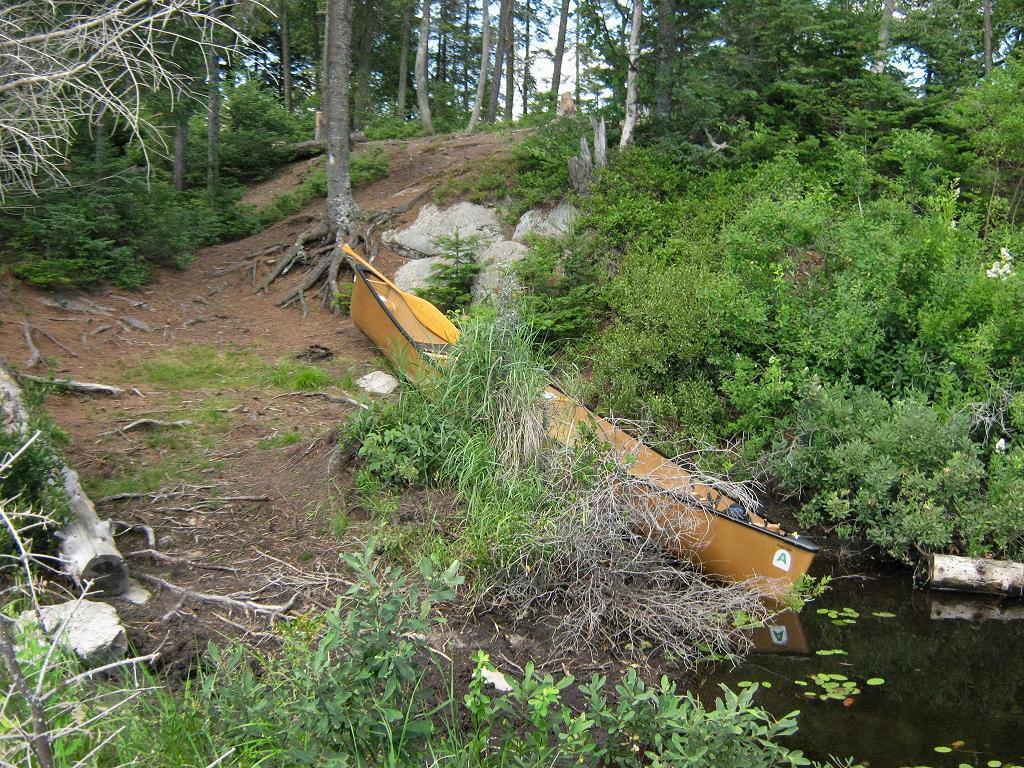
Topography to tentsites: Moderate slope around 30 degrees to level of two tentsites, around 20 feet above lake. Firepit and third tentsite are up another 5 feet or so closer to the end of the point.
Two "canoe slips" in the mucky shallows ...
![]()
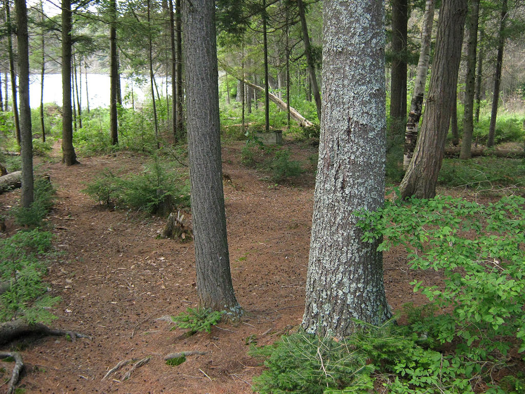
Sloped pull-up area and trail up to tentsite ...
![]()
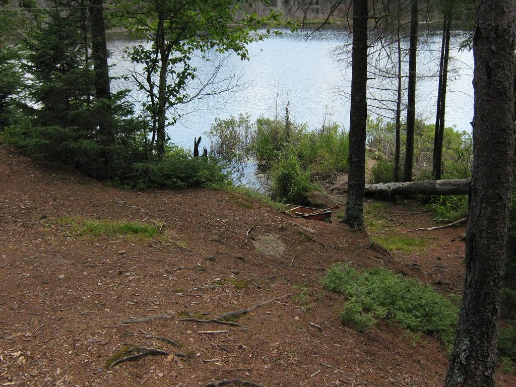
Looking down to landing from the level of the tentsite area ...
![]()
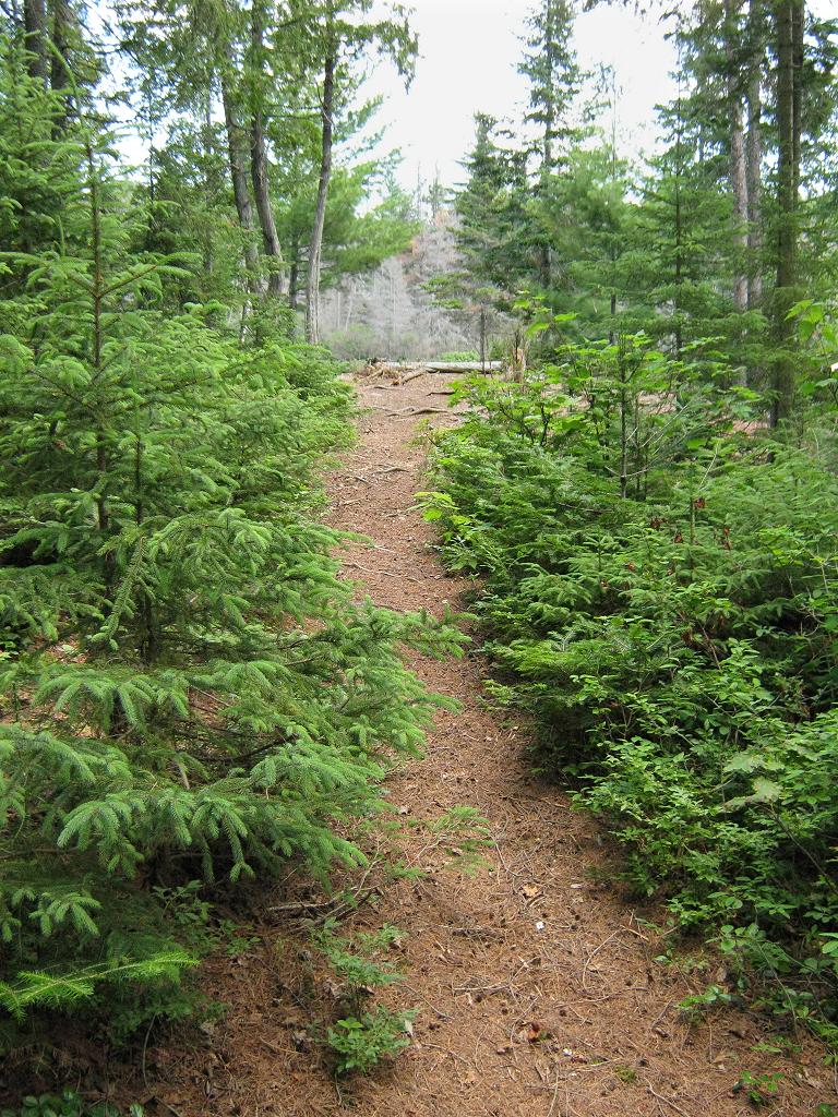
Another slight rise to the firepit area ...
![]()
Campsite
Regular or low-maintenance: Regular.
Size of open ground area: 25 x 50 feet.
Extent of tree cover: rear tentsite area is covered .. front firepit area is not covered.
Degree of levelness: Two level areas.
Number of level tent sites: 1 small tentsite immediately behind firepit. second and third small tentsites closer to thunderbox.
Virginia Small emailed-in Aug. 16th, 2015: "I would like to add that the third tent site closest to the thunderbox is the wettest of the tent sites. After a 6+ hour rainstorm the ground was soggy in that spot but surrounding areas drained quickly."
Firepit with small unprotected tentsite close behind ...
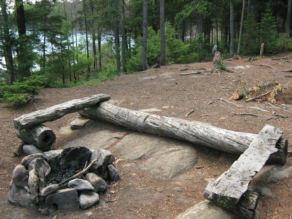
![]()
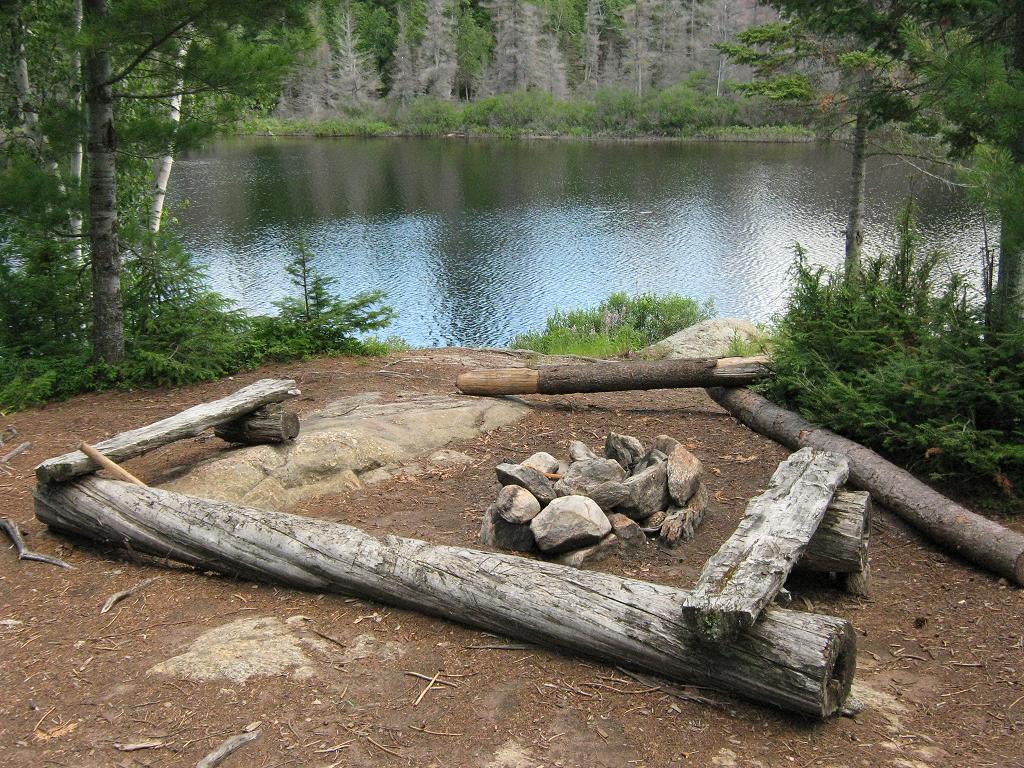
Two small tentsites and exposed thunderbox behind ...
![]()
North exposure: Small trees screen the view of the lake to the north.
East exposure: The other shore across the narrows is close by.
South exposure: Rock point is open to south end of lake. Firepit has light screen of trees. Tentsites have distant view of lake through open understory of forest.
West exposure: Forest.
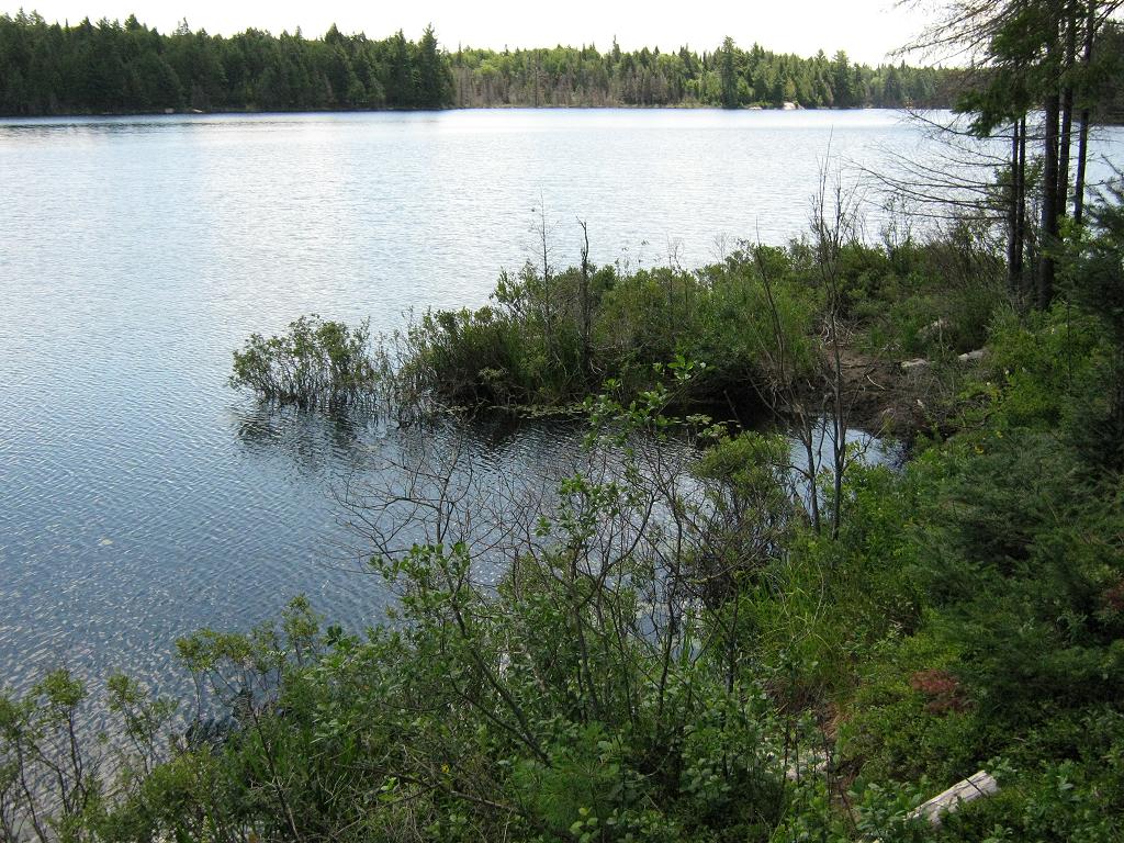
Looking east from the firepit area, over narrows to far shore ...
![]()
Looking south from near to the firepit ...
![]()
General description: Centrally located in the lake, with decent view to the south. However, it has only partial sunset exposure and is very open to the wind from 3 of 4 directions. The thunderbox is close to tentsites and is quite visible, even from the lake to the south.
Overall accessibility: While the actual landing is mucky, overall accessibility is OK.
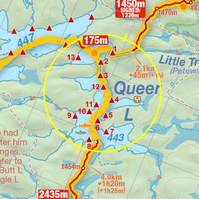
Thanks to Jeffrey McMurtrie of Jeff'sMap for supplying the base-layer map component by Creative Commons licensing.
Submitted by Barry Bridgeford .. December, 2011 .. Visited July, 2010