 Queer Lake Campsite #1
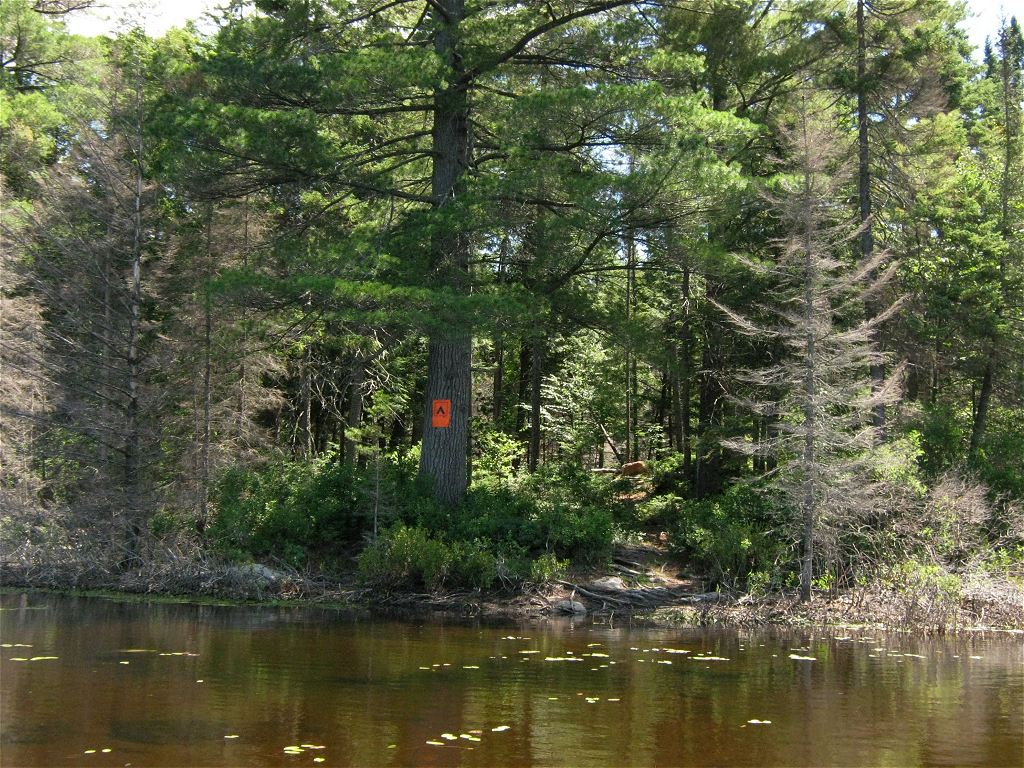
Landing
Topography of under-water approach: Shallow organic bottom with a few small flat rocks.
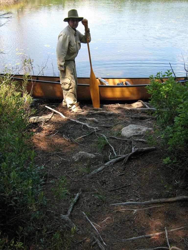
Impediments to disembarking from and/or unloading a canoe: Easy step-out to root-and-dirt embankment.
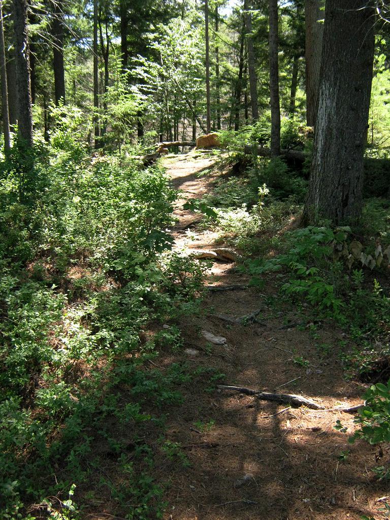
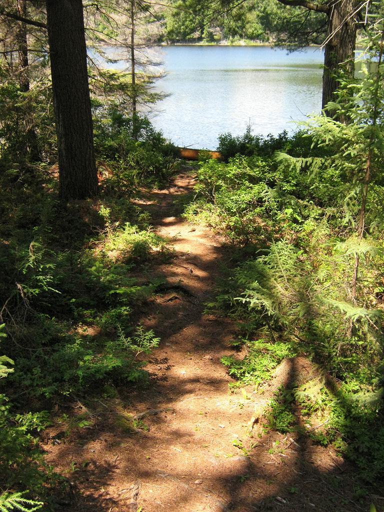
Topography to tent sites: Gentle rise of approximately 5 feet, to actual campsite.
Shallow approach, root-and-dirt step-out and slight rise to campsite ...
![]()
Level root-and-dirt step-out and unloading area ...
![]()
Easy rise to firepit and tentsite area ...
![]()
Campsite
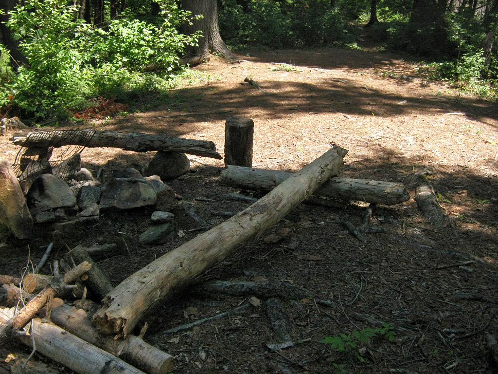
Regular or low-maintenance: Regular.
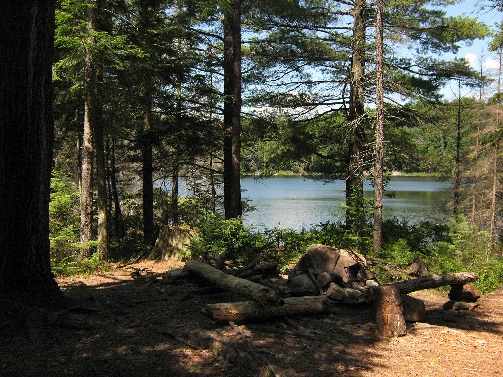
Size of open ground area: 15 x 30 feet.
Extent of tree cover: 50% mix of canopy and large pines over campsite.
Degree of levelness: Small level area.
Number of level tent sites: 2 small tentsites.
Firepit with two small tentsites close behind ...
![]()
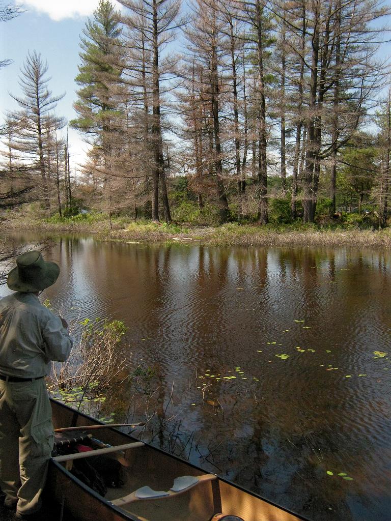
Looking west across north bay of lake ...
![]()
North exposure: Shoreline forest.
East exposure: Channel swings around behind campsite and is screened by a few trees.
South exposure: Dense patch of forest blocks view of channel.
West exposure: A few trees partially screen the view of the lake's north bay.
Looking west from the firepit area, back toward the landing ...
![]()
SW from the landing, starts this channel which curves behind the campsite and heads to Little Trout Creek ...
![]()
General description: Small cramped and unattractive campsite, without any appreciable view. Definitely not a 'destination'. A beaver dam (since removed) at the outlet to Little Trout Creek brought up the lake level for a number of years, producing a 'grey' band of dead trees around the lake, which surrounds this campsite's point.
Overall accessibility: Easy landing and campsite access.
Thanks to Jeffrey McMurtrie of Jeff'sMap for supplying the base-layer map component by Creative Commons licensing.
Submitted by Barry Bridgeford .. December, 2011 .. Visited July, 2010