 Portage 170 meters - Petawawa R. To Narrowbag L.
Portage Location: from Petawawa River to Narrowbag Lake
Length of portage: 170 meters
Portage maintenance regular or low: Regular.
Elevation above Sea Level @ Petawawa River: unknown
Elevation above Sea Level @ Narrowbag Lake ~ 385 meters
Difference in elevation: unknown
Peak portage elevation: ~ 392 meters
Portage Trail general description: Steep beginning, then levels out to cross an old road and then down slopes to Narrowbag.
Topographical impediments to traveling: Steep hill at beginning on the Petawawa side.
Downstream Landing at: Petawawa R.
Topography of under-water approach: Rocks
Downstream landing ...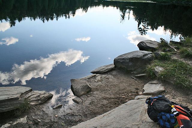
Impediments to disembarking from and/or unloading a canoe: Large rocks
Upstream Landing at: Narrowbag
Topography of under-water approach: Rocks and mud
Upstream landing ...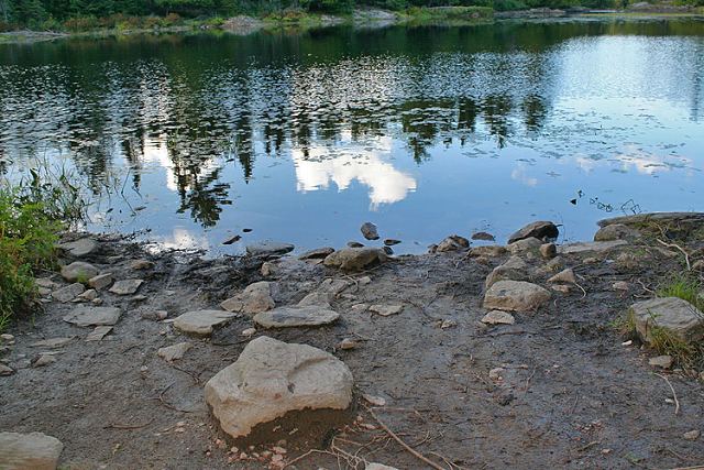
Impediments to disembarking from and/or unloading a canoe: Rocks and mud
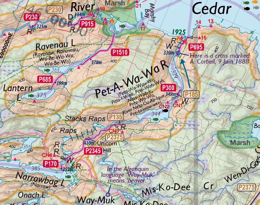
Thanks to Jeffrey McMurtrie of Jeff'sMap for supplying the base-layer map component by Creative Commons licensing.
By Sean Rowley, visited 2009, submitted Sept 12, 2009