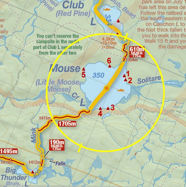
 Mouse Lake to Mink Creek Portage
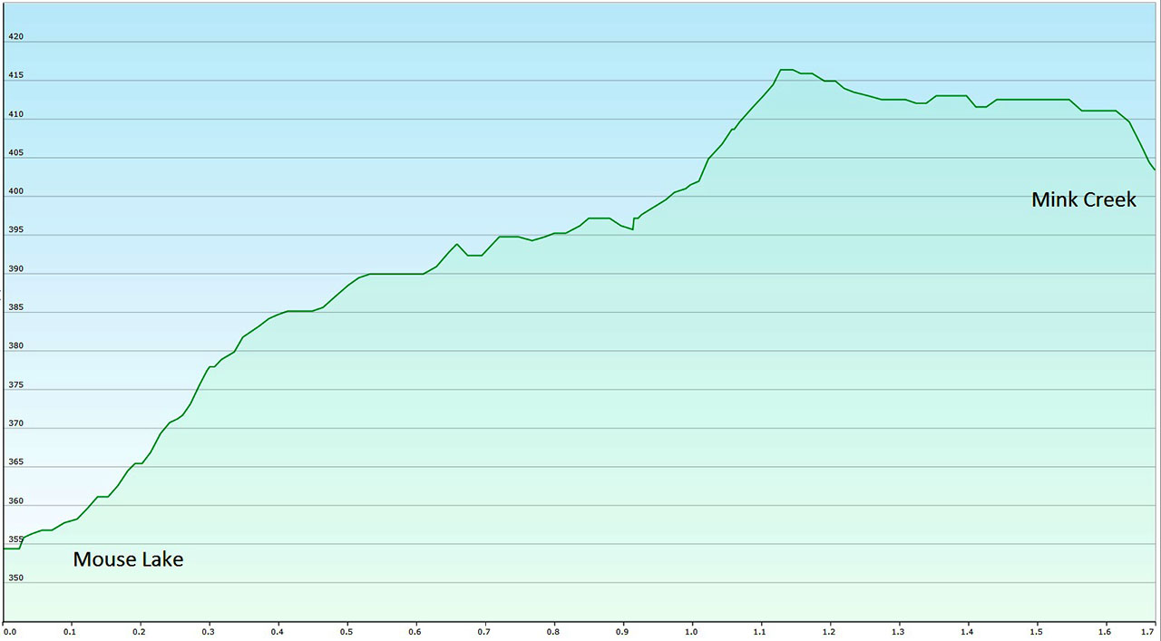
Length of portage: 1705 meters.
Portage maintenance regular or low: Regular.
Elevation above Sea Level @ Mouse Lake is 350 meters.
Elevation above Sea Level @ Mink Creek is 403 meters (approx.).
Difference in elevation: 53 meters (approx.).
Elevation of highest point: 415 meters. Overall rise/fall: 65 meters (approx.).
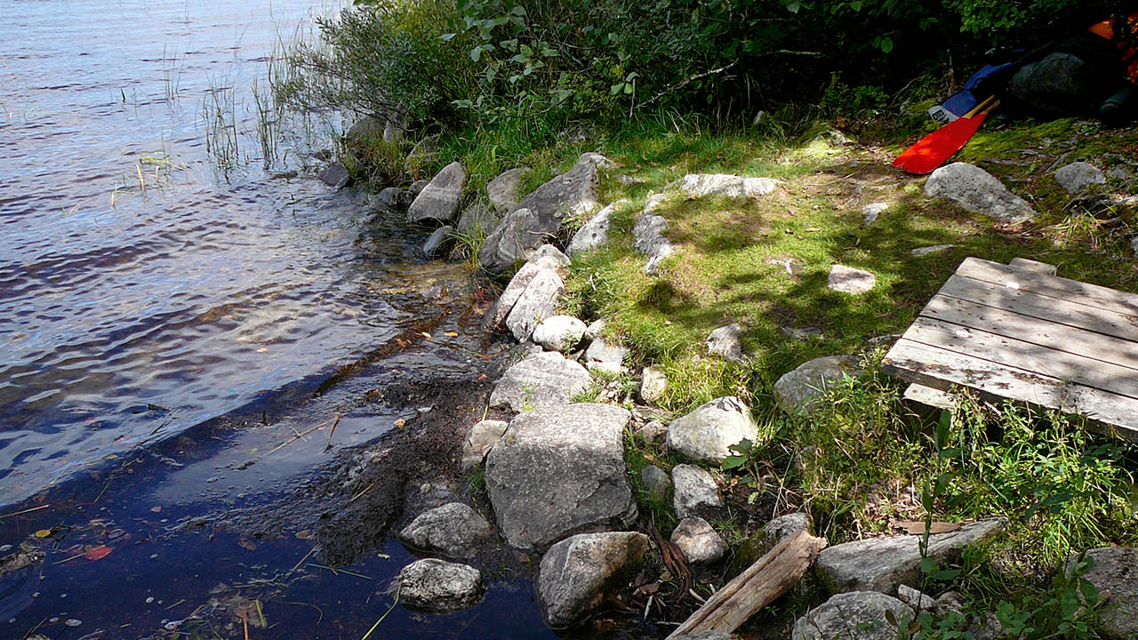
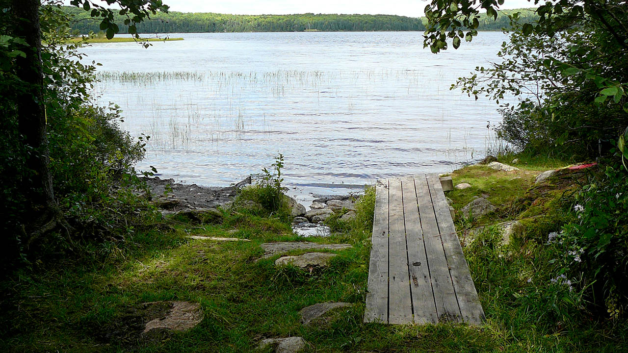
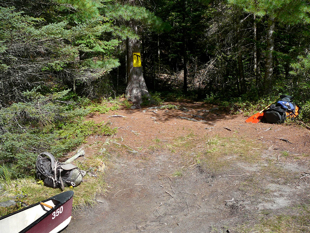
Landing at Mouse Lake
Co-ordinates of location: N46° 00.876' W78° 43.805'
Topography of under-water approach: Shallow water, mud, silt, and rock.
Impediments to disembarking from and/or unloading a canoe: A slight lift over the rocks at waters edge.
Topography of the ascending grade: Slight grade. There is an exit for a spring at the end of the boardwalk.
Impediments to moving gear to portage trail: Uneven and wet ground is helped by having the boardwalk to use.
Clear access to the landing ...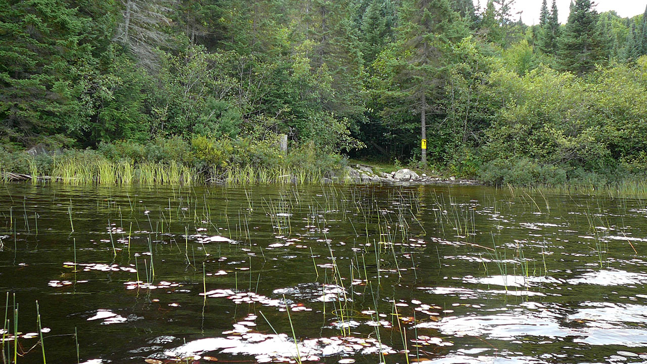
Portage Trail
General description: A long trail that starts climbing as soon as you begin and keeps climbing for the majority of the trail. A fairly umimpeded walk, but there are a few places that are rocky/rooty with a steep climb. The last section approaching Mink Creek is quite welcome after the first kilometer.
Topographical impediments to travelling: Only a couple of places where rocks or roots are an issue.
Areas susceptible to impact by periods of rain or beaver flooding: None, any places that may be susceptible have boardwalks in place.
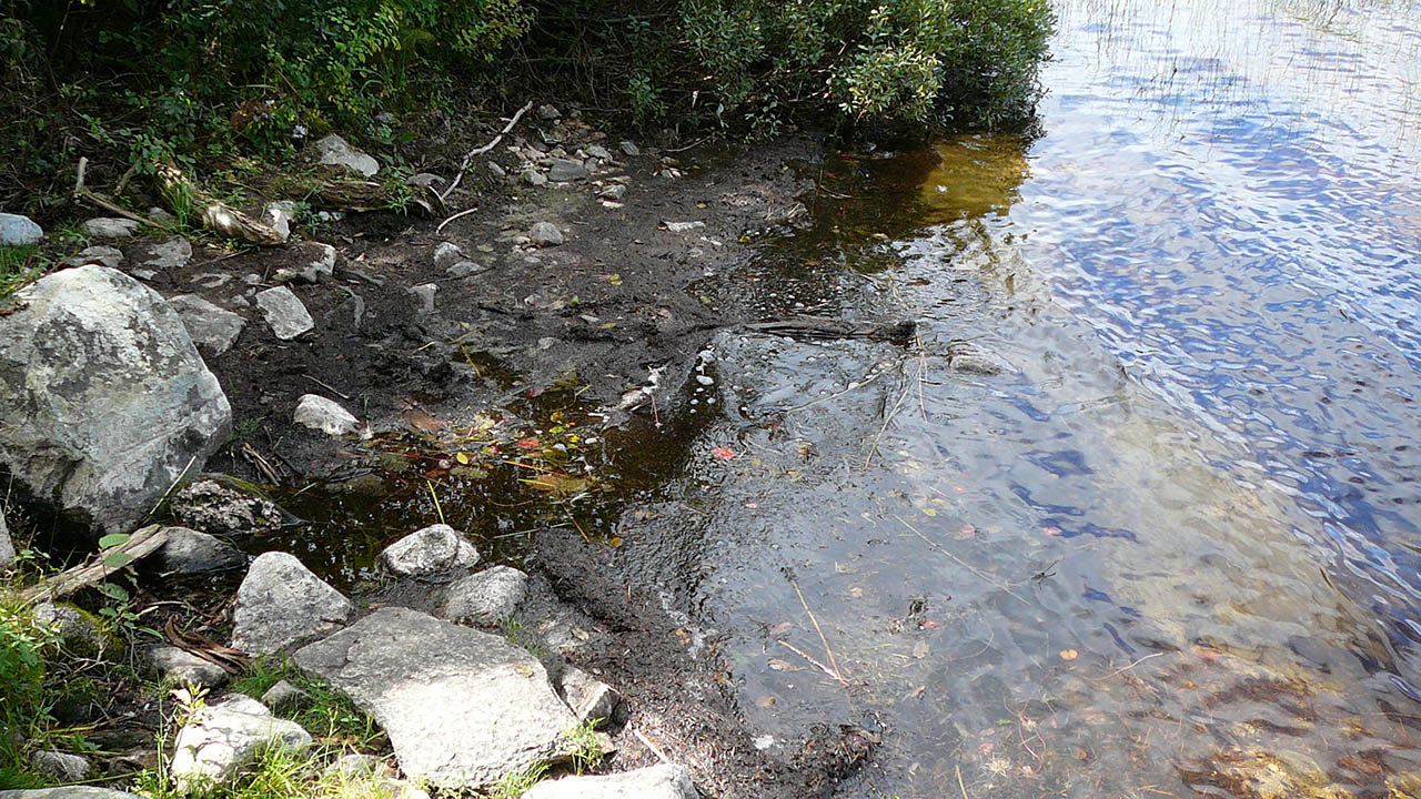
Landing at Club Lake
Co-ordinates of location: N46° 00.332' W78° 44.650'
Topography of under-water approach: Very shallow water and mud.
Impediments to disembarking from and/or unloading a canoe: Mud.
Topography of the ascending grade: Slight grade, dirt covered by pine needles.
Impediments to moving gear to portage trail: None
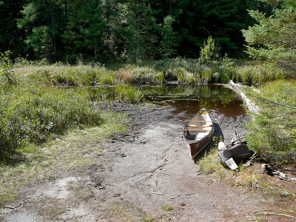
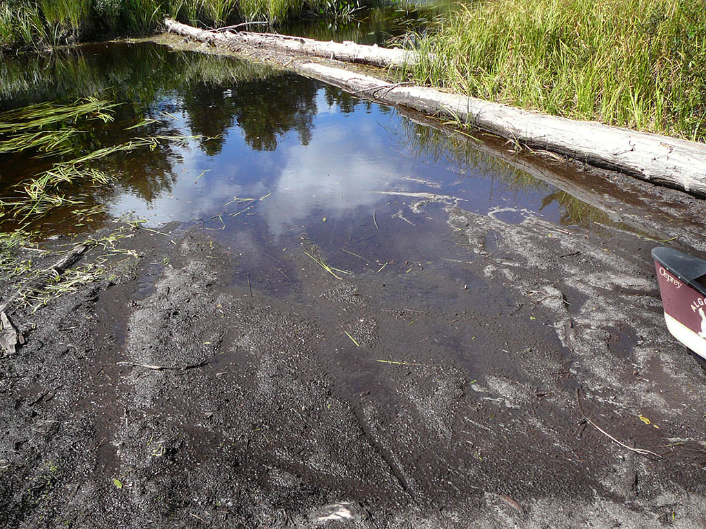
The log is very useful ...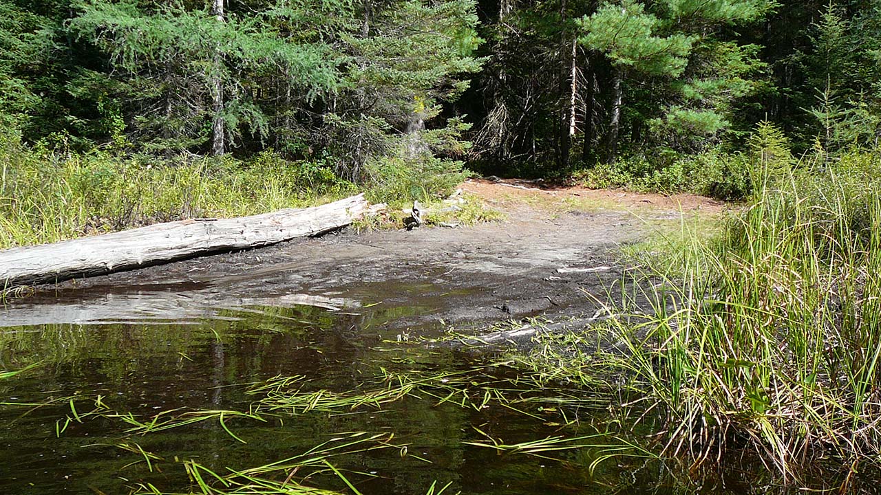
Thanks to Jeffrey McMurtrie of Jeff'sMap for supplying the base-layer map component by Creative Commons licensing.
Submitted by Chris Taylor, visited September 2014, submitted October 26, 2014