 Misty Lake Campsite #3
Landing
Topography of under-water approach: Sand.
Impediments to disembarking from and/or unloading a canoe: None
Topography to tent sites: 5 meters on gravel path, 2 meters elevation thru "tunnel" in trees.
A beautiful sand and fine gravel beach, view from eastern shoreline ...

Tunnel through the trees, from the beach up to the site ...

Looking down onto the beach from the edge of the firepit ...

Notice beach landing on right ...

Campsite
Regular or low-maintenance: Regular
Size of open ground area: 15 meters x 10 meters, and two 2.5 meter x 3 meter tent pads.
Extent of tree cover: Light
Degree of levelness: Slope from back to front.
Number of level tent sites: 2 + 2.
North exposure: Trees and lake.
East exposure: Lake.
South exposure: Trees and lake.
West exposure: Trees.
General description: Nice sandy beach and long rocky shoreline in both directions. Good for exploring/fishing. Site slopes from back to front with lumpy ground and some strategically placed trees that can make finding the spot a challenge. 2 additional tent pads attached by a pathway 5 meters north would make ideal tent pads in the non-buggy time of season.
Overall accessibility: Good, beach landing is large. A bit of an incline when going up tunnel to site.
Firepit ...

View of trail to thunderbox from firepit ...

These 2 pads can hold a tent each ...

Diagram of campsite from above ...

![]()
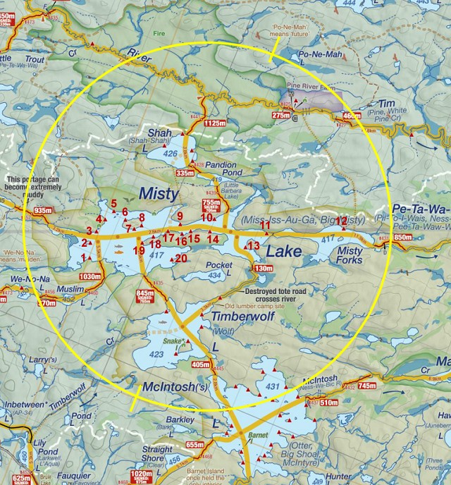
Thanks to Jeffrey McMurtrie of Jeff'sMap for supplying the base-layer map component by Creative Commons licensing.
Submitted by Chris Taylor .. September, 2013 .. visited July, 2013