 Portage 340m between Merchant Lake and Happy Isle Lake
Portage
Length of portage: 340 meters
Portage maintenance regular or low: Regular.
Elevation above Sea Level @ Merchant Lake: 433 meters
Elevation above Sea Level @ Happy Isle Lake: 430 meters
Difference in elevation: ~3 meter drop between Merchant Lake and Happy Isle Lake
Elevation of highest point: 442 meters. Overall rise/fall of 12 meters.
Upper Landing: at Merchant Lake
Location: N45 45 28.0 W78 31 48.3 (Added by Stephen Molson)
Topography of under-water approach: Shallowing water with sporadic submerged rocks in spring water levels – not a significant impediment.
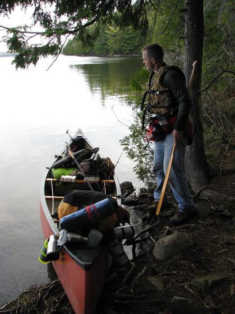
Impediments to disembarking from and/or unloading a canoe: Medium sized rocks (cantaloupe sized), roots and mild 6” to 1’ bank. Topography of the ascending grade: Gently sloping. Impediments to moving gear to portage trail: Moderate sized landing area suitable for one or two canoes with small area for gear on shore. Three canoes would be cramped. Merchant Lake’s main landing, view is north (photo added by Stephen Molson) ..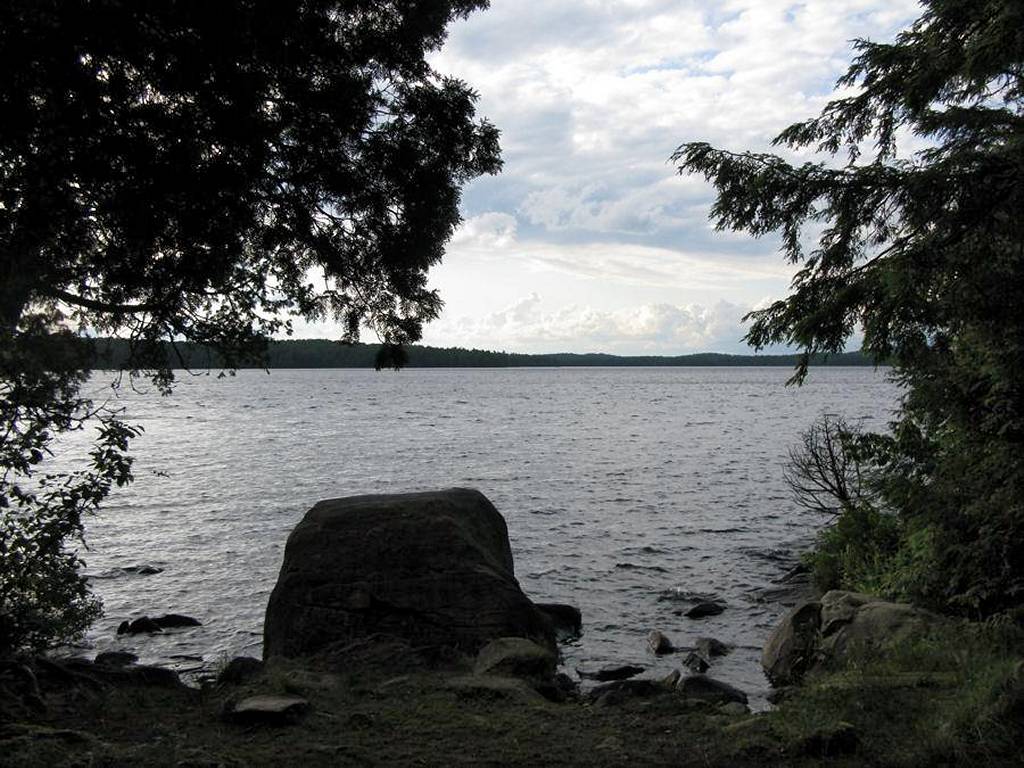
Merchant Lake’s secondary landing .. 30 meters west of main landing (photo added by Stephen Molson) ..
Merchant Landing – Landing area on Merchant facing due north ..
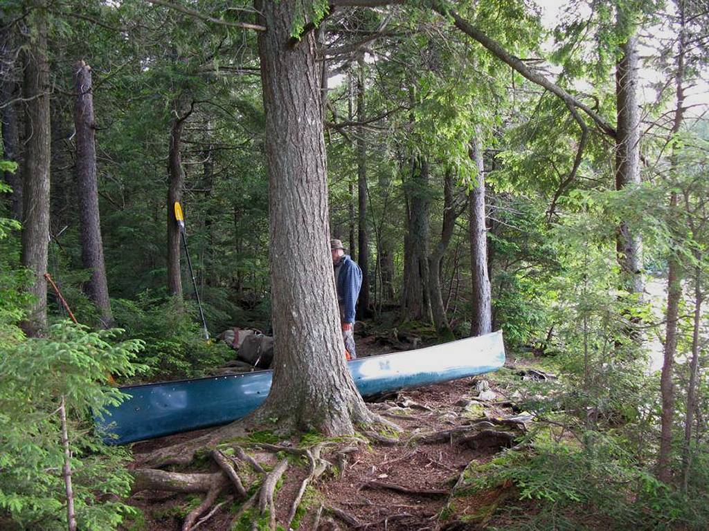
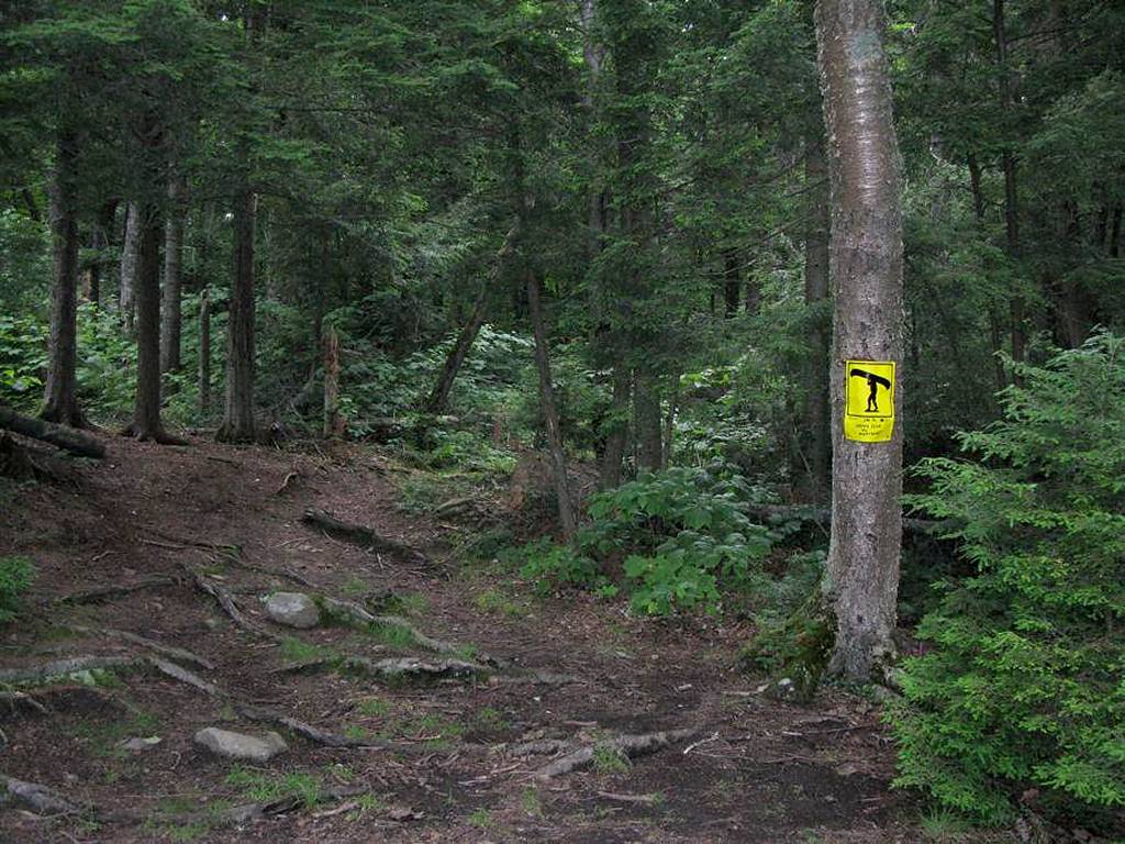
Start of the portage on Merchant Lake to Happy Isle Lake (photo added by Stephen Molson) ..
Portage Trail
General description: Short, rocky, wide and relatively flat portage.
Topographical impediments to traveling: virtually none.
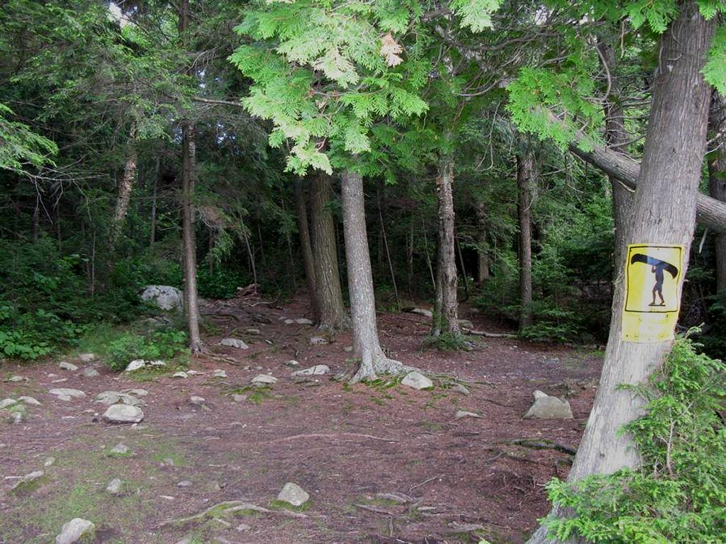
(Comment added by Stephen Molson: There’s a very rocky section closer to the Merchant side of the portage – rock field the size of basketballs with odd angles or smooth tops over a 80 meter distance.)
Areas susceptible to impact by periods of rain or beaver flooding: Some wet/muddy areas likely only in spring or after a summer rain.
Lower Landing: at Happy Isle Lake
Location: N45 45 22.1 W78 31 36.4 (Added by Stephen Molson)
Topography of under-water approach: Medium to large rocks (watermelon to pumpkin sized) in deep water
Impediments to disembarking from and/or unloading a canoe: Near shore the large rocks offer challenging exit or entrance if you like to keep your feet dry and your canoe unmarked. Protected bay keeps most large waves from influencing the landing area.
Topography of the ascending grade: Gently sloping.
Impediments to moving gear to portage trail: Moderate landing area suitable for one canoe with space for another and gear on shore. By no means is this a spacious or simple landing and foliage makes transition from water to land potentially awkward.
Happy Isle Landing – Landing area on Happy Isle facing southeast.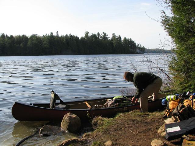
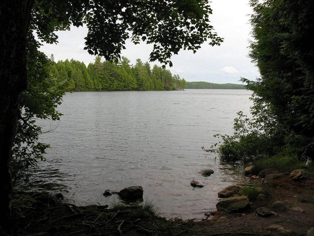
Landing at Happy Isle Lake from Merchant Lake portage. View is south. (photo added by Stephen Molson) ..
Start of portage trail from Happy Isle Lake to Merchant Lake. (photo added by Stephen Molson) ..
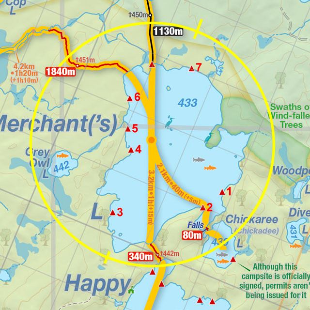
Thanks to Jeffrey McMurtrie of Jeff'sMap for supplying the base-layer map component by Creative Commons licensing.
Submitted by: Joe Zaleski .. January, 2011 .. Date visited: May, 2010
Additions submitted by: Stephen Molson .. February, 2011 .. Date visited: July, 2009