 Longer Lake Campsite #3 Lat.-Long.: N45 47 16.3 W78 39 30.9
Landing
Topography of under-water approach: South- facing landing, very narrow over boulder/rock steeply sloped bottom and pinched on both sides with shoreline shrubbery. A slight current (2 km/hr) is present flowing west from the Petawawa River. At very high water levels the landing may be up on a flat gravelly/sand shelf.
Impediments to disembarking from and/or unloading a canoe: At normal waterlevels the landing is awkward on account of the steeply sloped and boulder strewn narrow area - bow or stern first. This made unloading/loading the vessel more difficult but manageable. Thick shrubbery on either side of the landing makes for a tight squeeze. Current was not an issue at this time of year (July).
Topography to tent sites: Steep 30 degree taper uphill along sloping rock to campsite and firepit area. Campsite situated roughly 12' in elevation from water, depending on time of year.
Photo: Campsite's landing area, view is south-east

![]()
Photo: View from landing looking east upriver towards some swifts/pool of the Petawawa River.

Photo: Firepit, kitchen and seating area. Three 6' long supported redpine trunk sections delineated the seating.

![]()
Campsite
Campsite maintenance: Regular
Size of open area: 80' x 80'.
Extent of tree cover: 90% canopied over tent/kitchen area.
Degree of levelness: Sufficiently flat around firepit and tenting area.
Number of level tent sites: At least 2 flat sites adequate for3-4 man sized tents.
North exposure: Well protected from the north winds - thick forest surrounds campsite.
East exposure: Well protected from the east winds - thick forest surrounds campsite.
South exposure: Southern exposure from canoe landing only, which is protected by being nestled in the narrow river channel.
West exposure: West exposure from canoe landing only. Thick forest surrounds campsite up on the knoll. Firepit and tentsites well protected.
General description: Fair campsite, nicely protected tenting and cooking area with a table and good seating - from all winds. Very poor landing at normal water levels - slick, steep, rocky and narrow - limited manoeverability. A number of grills were present. Firepit well protected from any wind. Great sunset views from shore . Thunder box located north east of campsite. No issues with firewood. A well trodden and firm footing path leads up from canoe landing to campsite. Water can be accessed via steep but short hill down to the bottom of the falls. Proximity to river and falls a bonus. Site is heavily shaded with limited sun exposure, even from landing. Wind a non-issue with the landing. Privacy may be compromised by trippers lining up/down the Petawawa River to/from Big Trout Lake.
Overall accessibility: Fair
Photo: View west from campsite back down towards landing area.

![]()
Photo: Thunderbox, located east of campsite.

![]()
Photo: View back up towards north end of lake from heavily shrubbed shoreline west of landing.

![]()
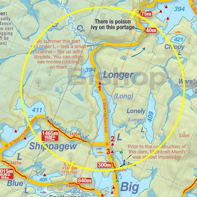
Thanks to Jeffrey McMurtrie of Jeff'sMap for supplying the base-layer map component by Creative Commons licensing.
Submitted by Stephen Molson, January 2010 .. visited July 2009.