 Log Canoe Lake Campsite #1
Landing
Topography of under-water approach: 2’+ depth of water in spring high water, with a tapered drop to deeper water. Bottom was soft sand, duff and marl.
Impediments to disembarking from and/or unloading a canoe: At high water levels the landing is into the shrubs along shoreline, low water would likely be over semi-soft bottom.
Topography to tent sites: Short hill trail to climb before reaching campsite plateau. Hard ground and rock bank with shrubs. Roughly 4 meters (12 feet) in elevation from waterfront.
North-shore landing area, which doubles as the portage landing ...
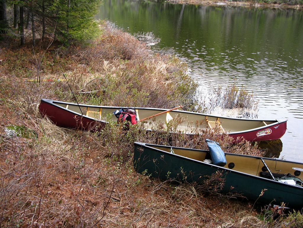
![]()
Bank at campsite’s landing, which is also the start of portage back to Sec Lake ...
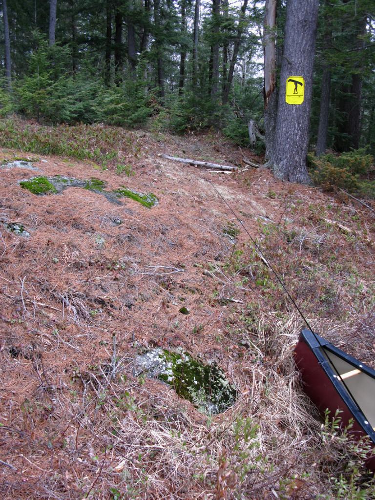
![]()
Campsite
Regular or low-maintenance: Low Maintenance.
Size of open area: 50’ x 50’.
Extent of tree cover: 5% canopied over tent/kitchen area.
Degree of levelness: Slight angle to campsite.
Number of level tent sites: At least 1 flat sites adequate for <=3 person tent.
North exposure: Campsite is exposed to north winds, landing would be protected.
East exposure: Campsite is exposed to east winds, landing is somewhat protected.
South exposure: Campsite and landing is fully exposed to south winds.
West exposure: Campsite and landing are fully exposed to west winds.
General description: Poor, open and small-sized campsite with limited overhead cover. Little to no forest cover, poor location for firepit and fully exposed to every wind direction. Firepit poorly constructed, site not often used. Poor sunset views, good sunrise views. Thunder box located behind campsite. No issues with firewood. Site located just off of portage (privacy issue) and the landing is shared between campsite and portage. Appears to be poor swimming due to soft bottom offshore (which likely harbors lily pads in summer).
Overall accessibility: Fair
Firepit on top of rocky knoll at campsite, looking east ...
![]()
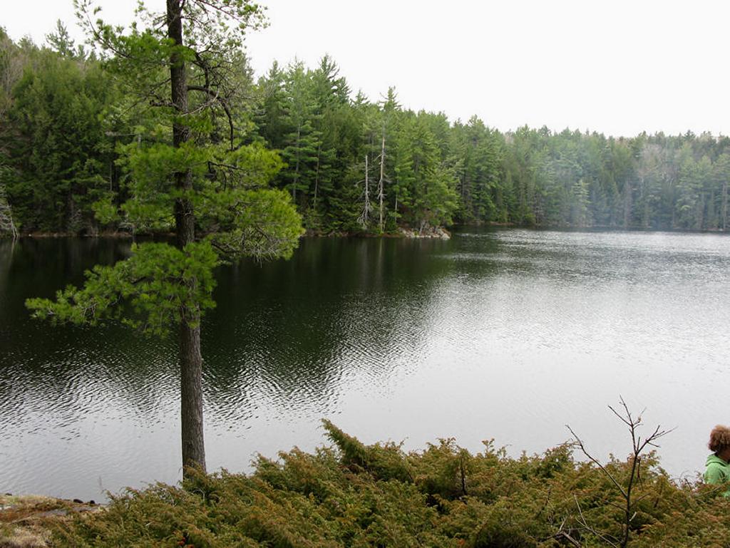
South-west view of lake, showing a tent location ...
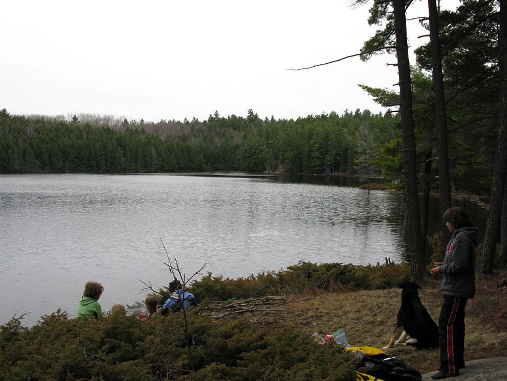
![]()
View from atop the campsite, looking south ...
![]()
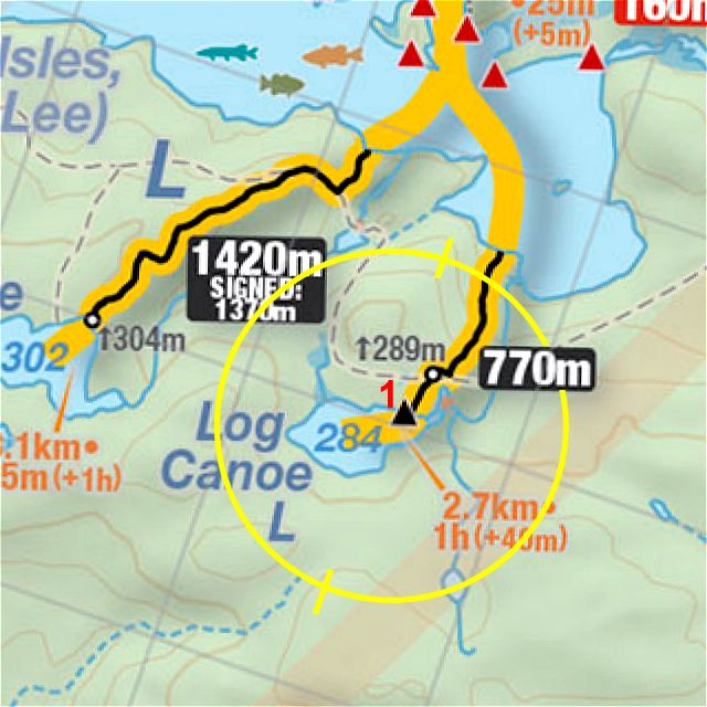
Thanks to Jeffrey McMurtrie of Jeff'sMap for supplying the base-layer map component by Creative Commons licensing.
Submitted by Stephen Molson, Feb. 2011 .. visited April, 2009.