 Littledoe Lake Campsite #3
Landing
Topography of under-water approach: Flat rocks sloping to notch on the side of the site.
Impediments to disembarking from and/or unloading a canoe: The notch cuts the shoreline, allowing canoes to empty safely. An option is to stand in the water to help disembark. There's a slow slope into the lake. After the canoe is empty, a small area leads to large rocks that lead to level, then to the slightly sloped site. A large rock has steps in the side which assist with the climb.
Topography to tent sites: Once the large rock is climbed, the site slopes very slightly to the water on the other side. It has a fairly flat area where 4+ tents could be set up.
Canoe landing looking left ...

![]()
Canoe landing looking right ...

![]()
Campsite
Campsite maintenance: regular
Size of open area: 20' x 20'.
Extent of tree cover: The site has fairly large area opened to sunlight. Only several large pine trees on the outside of the site.
Degree of levelness: After climbing up a large rock to get to the site, it then slightly slopes down to the waters edge. The open area is level in the middle. The fire-pit area is level near large rock bench's.
Number of level tent sites: 4+.
North exposure: Totally blocked from the north wind by the forest.
East exposure: Quite open to the east wind.
South exposure: Quite open to the south wind.
West exposure: Quite open to the west wind and sunset view.
North exposure ...

![]()
South exposure ...

![]()
West exposure ...

![]()
Northwest exposure, showing benches around firepit ...

![]()
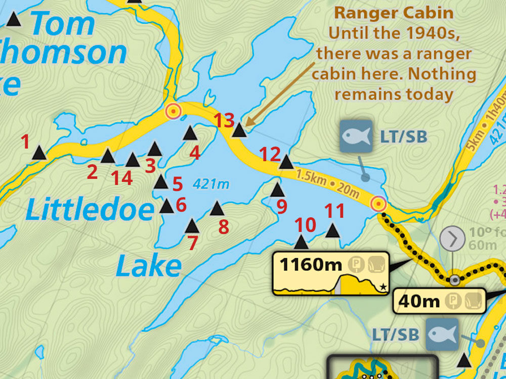
Thanks to Jeffrey McMurtrie of Maps By Jeff for supplying the base map.
Submission August, 2014 by Toby Clipperton .. visited May, 2014