 Little Trout Lake Campsite #6
Landing
Topography of under-water approach: Points of rock, on the north side of the point, provide a single viable canoe slip. What appears to be a second slip is actually too shallow.
Impediments to disembarking from and/or unloading a canoe: No serious impediments.
Topography to tent sites: Approximately 20 foot rise at 35 degrees to get to firepit and tent-site level.
Landing is located on NE corner of point (eastmost/righthand 'slip') .. only good for one canoe at a time ...

![]()
Rise from the landing to the campsite is around 20 feet, at about a 35 degree angle ...

![]()
Campsite
Regular or low-maintenance: Regular
Size of open ground area: 30' x 60'.
Extent of tree cover: 50%
Degree of levelness: The fire-pit and tentsite areas are generally level.
Number of level tent sites: Approx. 6.
Looking west past firepit toward center of island ...

![]()
West of the firepit area is an area of sheltered tentsites ...

![]()
North exposure: Open to north wind, with a view across east end of the lake.
East exposure: The campsite is on the eastern point of an island, looking eastward down the south shore of the lake.
South exposure: A narrow channel separates the point from the lake's south shore. Some mid-day sun may be had.
West exposure: The island's hemlock trees block the mid- and late afternoon sun. Their open understory reduces privacy for the thunderbox area.
View to the north is of the east end of the lake ...

![]()
View to the southwest, across a narrow channel ...

![]()
General description: Open to north, east and south winds. Limited shelter overhead. Firewood on the island limited to hemlock. Campsite has a 'very worn' appearance.
Overall accessibility: Only fair accessibility from the water .. limited to one canoe at a time.
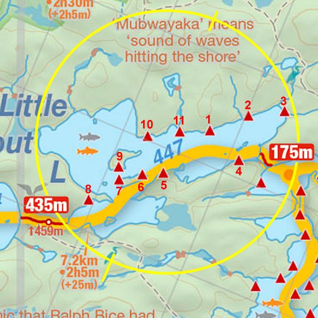
Thanks to Jeffrey McMurtrie of Jeff'sMap for supplying the base-layer map component by Creative Commons licensing.
Submitted by Barry Bridgeford .. December 30, 2011 .. visited July, 2010