 Little Trout Lake Campsite #5
Landing
Topography of under-water approach: Small (one-canoe-width) sandy landing is behind a rock shelf, located east of the campsite's front rock face.
Impediments to disembarking from and/or unloading a canoe: Shallow rock shelf and shoreline bushes confine the landing's single "slip". Extra canoes would have to be brought in one-at-a-time.
Narrow "slip" runs alongside the shoreline bushes to the left behind the rock ...

![]()
Plenty of rock on which to unload gear ...

![]()
Rise from rock to rooted area .. up toward firepit area ...

![]()
Campsite
Regular or low-maintenance: Regular
Size of open ground area: firepit area .. approx. 30' x 50'.
View from firepit area, looking NNW ...

![]()
Extent of tree cover: 80%
Degree of levelness: Besides the firepit is level, but the only other level area is another 8 feet up at the rear.
Topography: Approximately a gentle 5 foot rise to firepit area, and a further 8 foot rise to 2 small tentsite area.
Number of level tent sites: 2 small.
Tent sites area behind and above firepit area ...

![]()
North exposure: Open to north wind .. with a view across lake to north shore.
East exposure: Forested shoreline
South exposure: Forest.
West exposure: Forested shoreline.
General description: Fair tree cover, yet is quite open to north wind. It is best-suited to a single canoe and tent.
Overall accessibility: Good accessibility from the water .. somewhat limited to one canoe at a time.
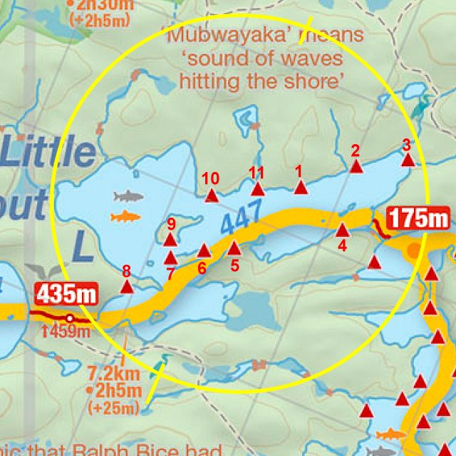
Thanks to Jeffrey McMurtrie of Jeff'sMap for supplying the base-layer map component by Creative Commons licensing.
Submitted by Barry Bridgeford .. December 30, 2011 .. visited July, 2010