 Little Trout Lake Campsite #4
Landing
Canoe hauled up on the shoreline slab of rock ...

![]()
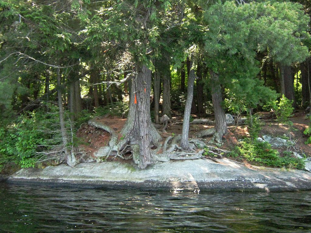
Looking up shoreline slab of rock, toward rise to tentsites ...

![]()
Topography of under-water approach: Slab of rock rises up from depths.
Impediments to disembarking from and/or unloading a canoe: Slab of rock provides place to step out onto. However, it could be slippery whwn wet. Tight confines would require first canoe to be repositioned prior to landing second one. First canoe would have to be hauled further up the slope to allow second one to land and unload.
Topography to tent sites: Approximately 10 foot rise at 45 degrees to get to tent sites. There's a fair rise to get to the thunderbox.
Campsite from water .. rock slab's lower landing is further to the right ...
![]()
Campsite
Regular or low-maintenance: Regular
Size of open ground area: 30 x 40 feet.
Firepit and tentsite area, limited flat areas .. for 3 small tents ...

![]()
Extent of tree cover: 80%
Degree of levelness: Besides the firepit is level, but there are only small level areas for 3 small tents.
Number of level tent sites: 3 small.
Looking outward from tentsites to firepit ...

![]()
North exposure: Open to north wind .. with a view across east bay to north shore.
East exposure: Forested shoreline
South exposure: Forest.
West exposure: Forested shoreline.
View looking NNW from firepit area ...

![]()
General description: Confined under tree cover, yet quite open to north wind.
Overall accessibility: Only fair accessibility from the water .. limited to one canoe at a time.
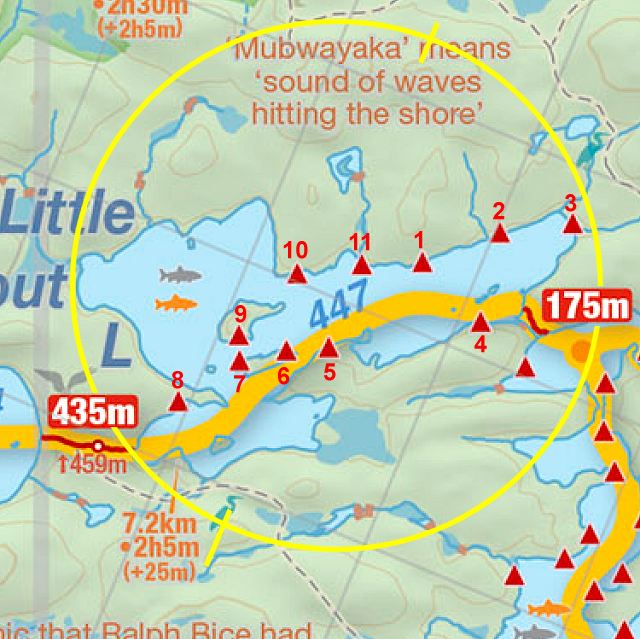
Thanks to Jeffrey McMurtrie of Jeff'sMap for supplying the base-layer map component by Creative Commons licensing.
Submitted by Barry Bridgeford .. December 30, 2011 .. visited July, 2010