 Little Otterslide Lake Campsite #2
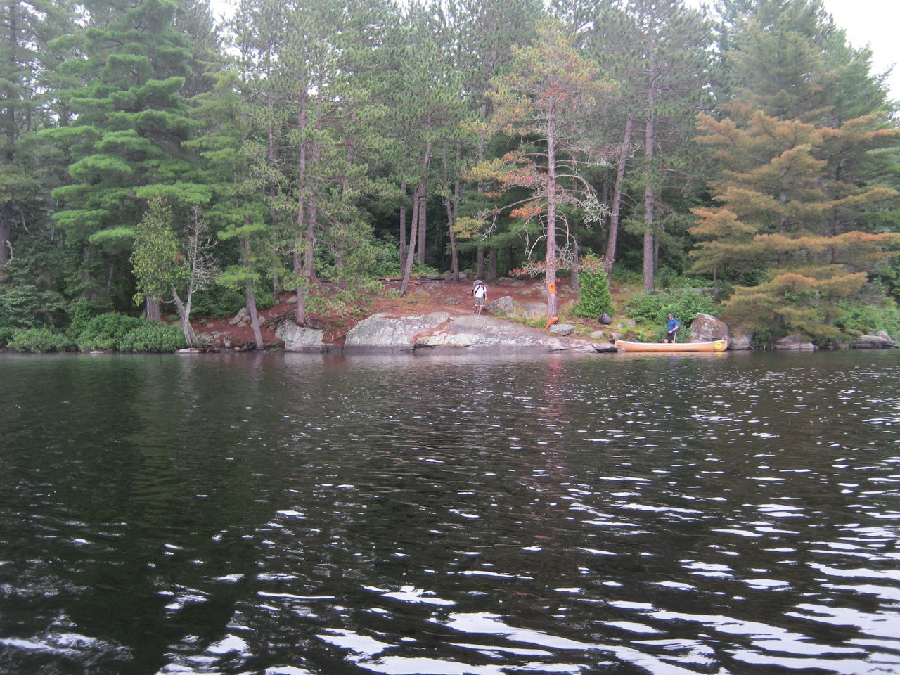
Landing
Topography of under-water approach: Large rock slab at shore with semi-flat area in shallow water. A couple small-medium size boulders, and a steep, quick drop-off into deep water ....
![]()
Impediments to disembarking from and/or unloading a canoe: Part of the slab at the shore is very steep or nearly vertical, rising 2-3 feet from the water. Only a small area on the side to land where the slab is semi-flat and just under the water ...
![]()
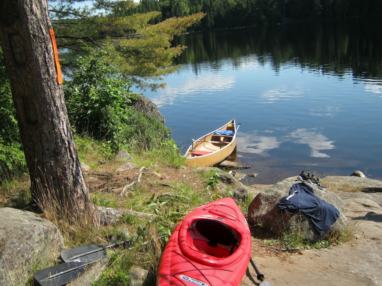
Topography to tent sites: Steep closer to the water. Sloped up towards the tent sites ...
![]()
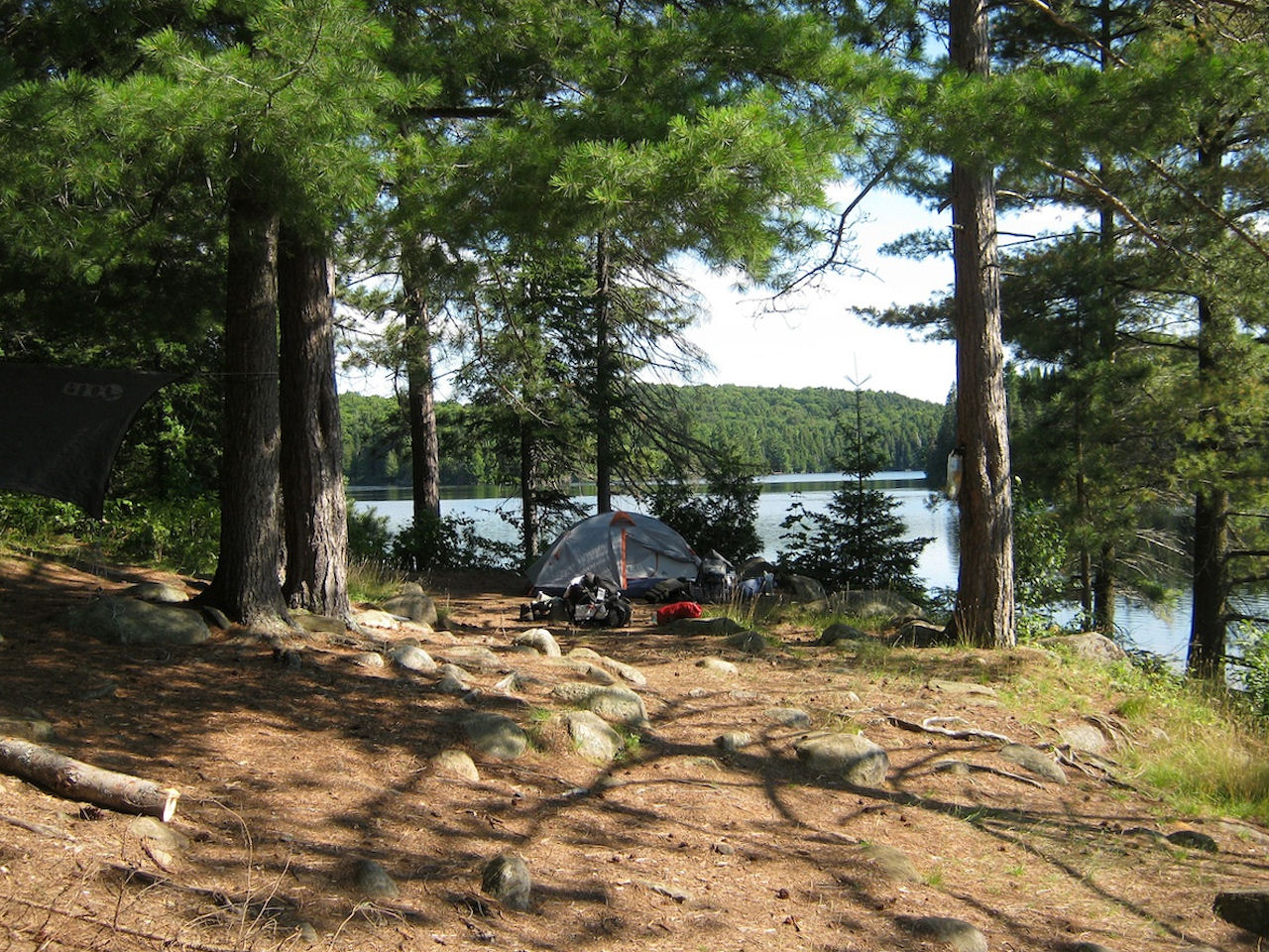
Campsite
Campsite maintenance: regular
Size of open area: 50x50ft.
Extent of tree cover: 60%
Degree of levelness: A couple flat tent areas, but the rest of the site slopes toward the shore, getting steeper closer to the water.
Number of tent sites: 3 to 4
North exposure: Evergreen patches block north exposure mostly.
East exposure: None. Hill and forest block East exposure.
South exposure: Mostly open except for a few trees
West exposure: Completely open.
General description: A nice size site that’s easy to get to. Good maintenance, fire pit but no grill, only one bench for seating. Good airflow without being windy. Great western exposure for sunset views.
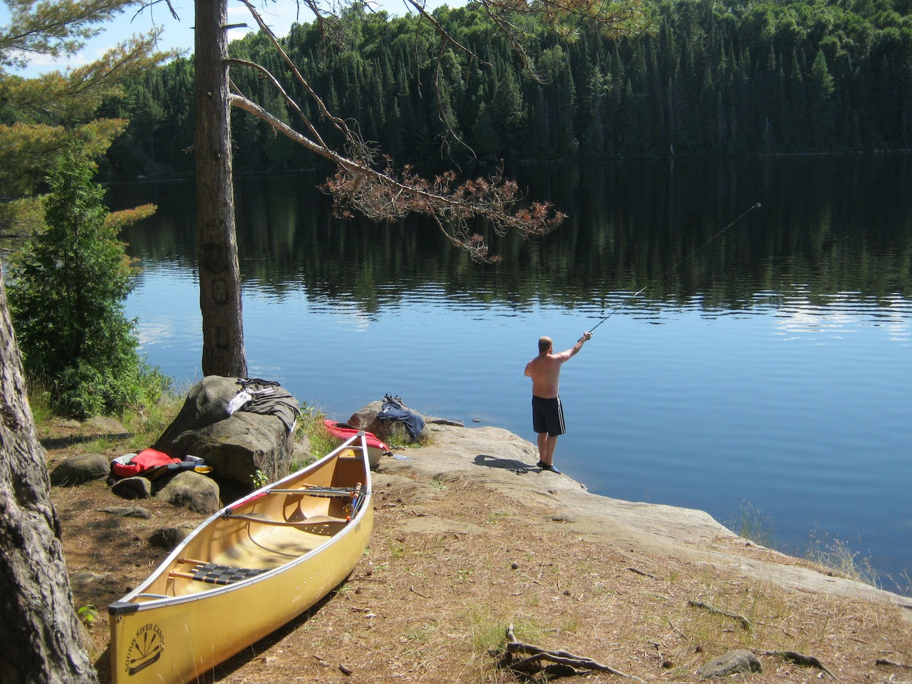
Overall accessibility: Right along the canoe route. Easy to spot. Moderately difficult to load/unload canoes due to slope and small landing area.
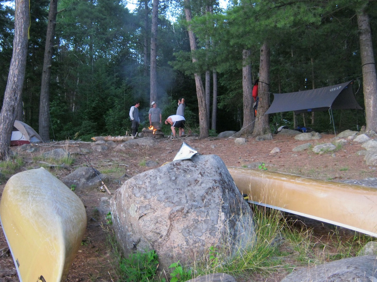
Looking South from fire pit (roughly center of the site) ...
![]()
Looking North from the South end of site (where tent in the first picture is) ...
![]()
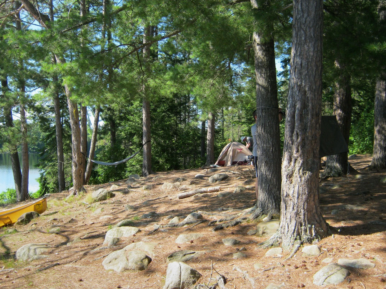
Looking East from the shore up at the site …
![]()
Fire pit and bench …
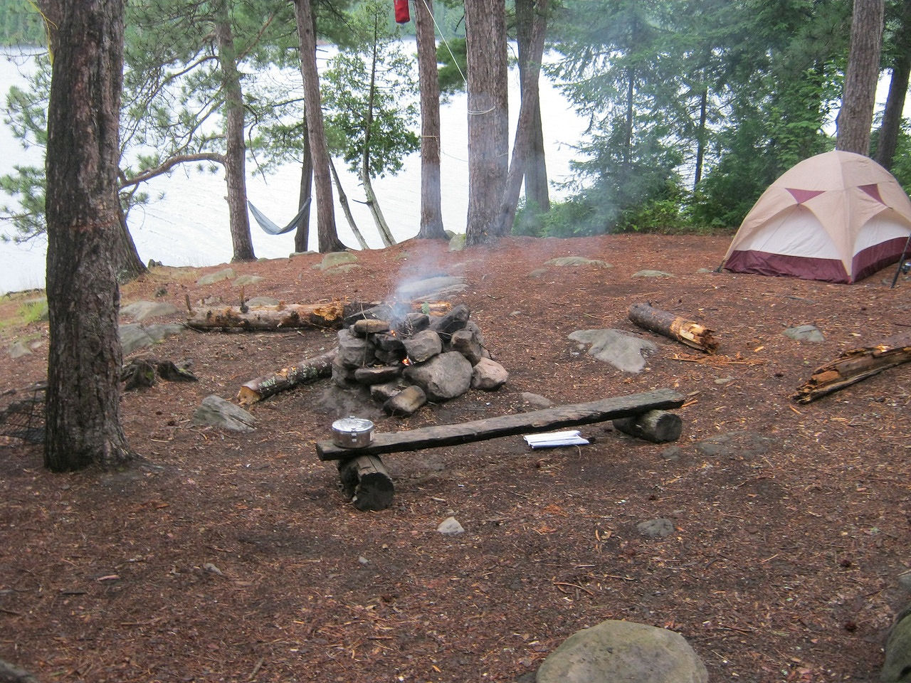
![]()
Sunset view West from shore …
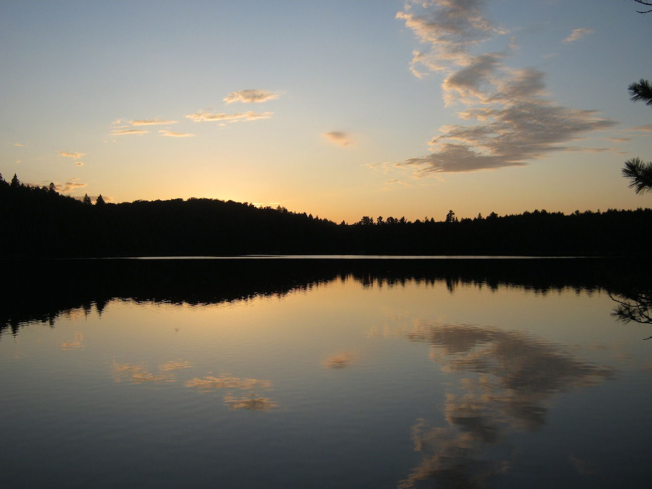
![]()
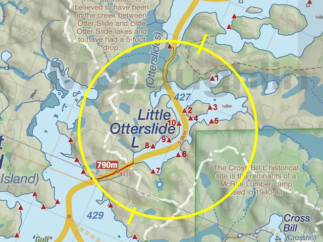
Thanks to Jeffrey McMurtrie of Jeff'sMap for supplying the base-layer map component by Creative Commons licensing.
Submitted by: Ian Young Date visited: August, 2011 Submission: May 1, 2013