 Portage 295 meters - From Hambone Lake to Ralph Bice Lake
Portage Location: from Hambone Lake to Ralph Bice Lake
Length of portage: 295 meters
Portage maintenance: regular.
Elevation above Sea Level at Hambone Lake 444 meters.
Elevation above Sea Level at Ralph Bice Lake 444 meters.
Difference in elevation: 0 meters. Both drain into Daisy Lake.
Elevation of highest point: 449 meters.
Overall Rise/Fall: 5 meters.
Landing at Hambone Lake
Co-ordinates of location: N45 40 25.9 W78 58 13.5
Topography of under-water approach: Sandy beach landing with a few emergent boulders. Ground is hard packed sand/earth. Being a "head-water" lake, levels can vary greatly and can actually alter length of portage.
Impediments to disembarking from and/or unloading a canoe: None during normal summer water levels. Doubtful there’d be an issue at spring water levels either.
Impediments to moving gear to portage trail: None. Lots of room up from landing for over 3 canoes + gear. Landing adequate to support 3 vessels on the water at a time.
Topography of the ascending grade: Portage is generally flat with a few short steep inclines between lakes.
Landing at Hambone Lake ...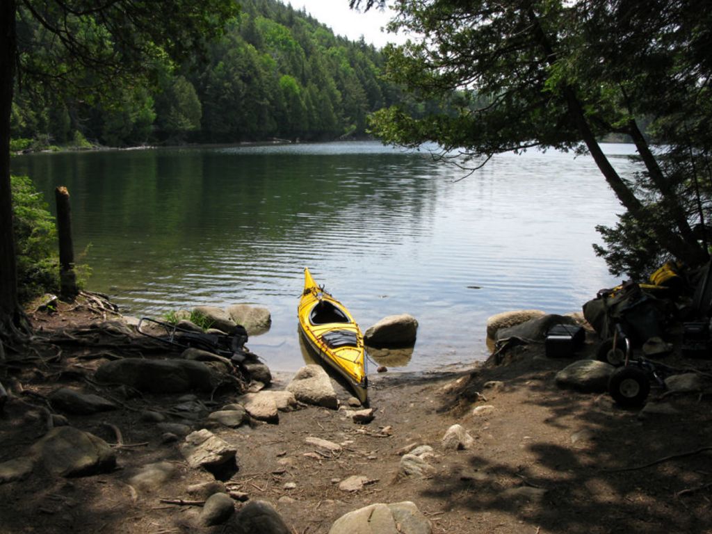
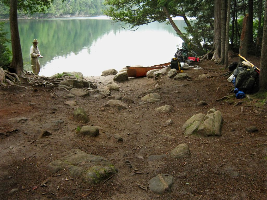
Portage Trail
General description: Good short, generally straight trail. Mostly flat, other than two sections along sloped rock. Ground mostly hard packed earth/sand mix with rocks and some roots.
Topographical impediments to traveling: None.
Areas susceptible to impact by periods of rain or beaver flooding: None encountered during early summer travel. Early Spring will see higher waters at landings but that shouldn’t be an issue.
Beginning of portage from the Hambone Lake side, looking north-east ...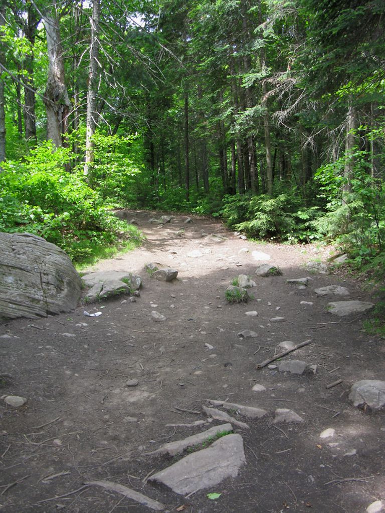
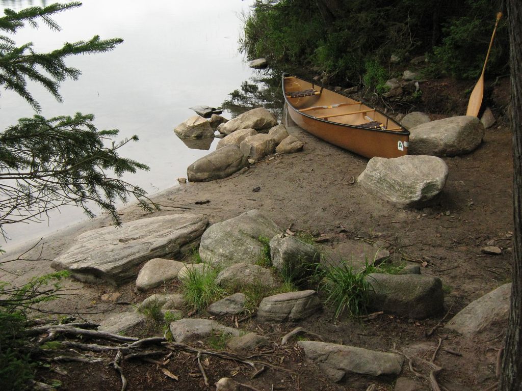
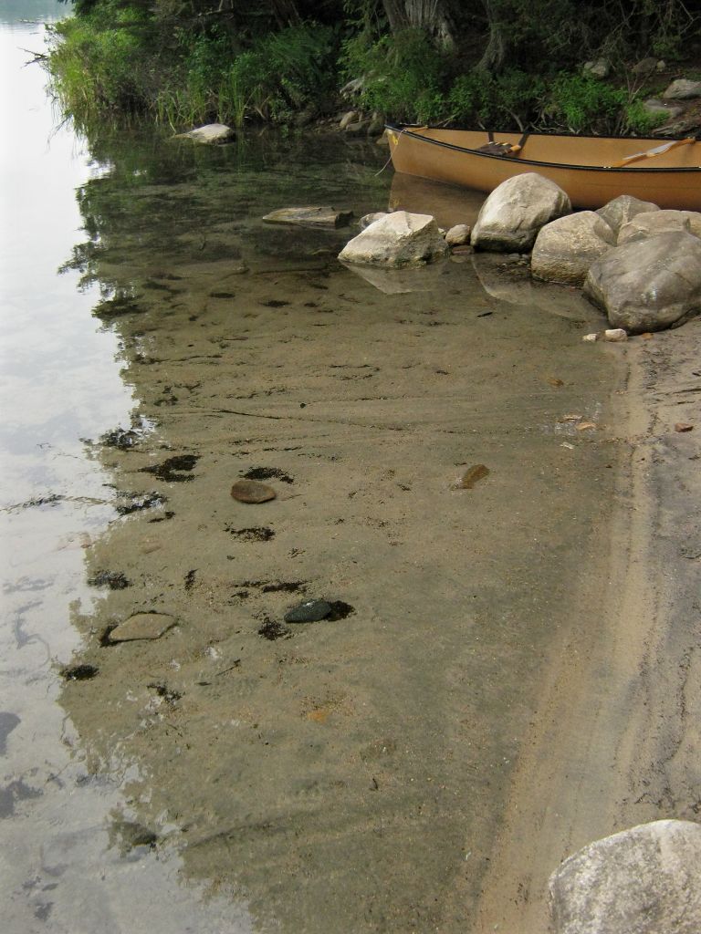
Landing at Ralph Bice Lake
Co-ordinates of location: N45 40 32.4 W78 58 06.7
Topography of under-water approach: Very shallow with a mix of sand and mud, some silt and rocks. During lower summer water levels, the water's edge is much further out and off-shore deadwood can be an obstacle.
Impediments to disembarking from and/or unloading a canoe: Muddy footing at landing may be an issue during high water. A makeshift pier/dock has been constructed to aid in boat loading/unloading during very high water. Depending on boat and cargo weight, one may need to wade out 3-4 meters before buoyancy is reached.
Impediments to moving gear to portage trail: Small, narrow landing will make managing the areas with many canoes an issue. Mud at landing, both under and above the waterline can make for sloppy footing and wet gear storage. Use the boardwalk and higher ground for that purpose, depending on water level. Space for 3 canoes in the water at time, 2-3 up on shore + gear.
Topography of the ascending grade: Flat with a few short steep rises before reaching the Hambone Lake landing.
Ralph Bice Lake landing, at early June water levels, looking north-east ...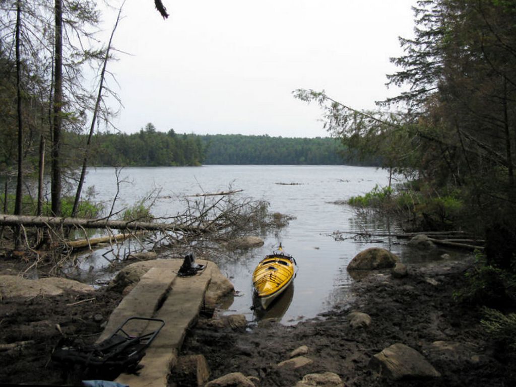
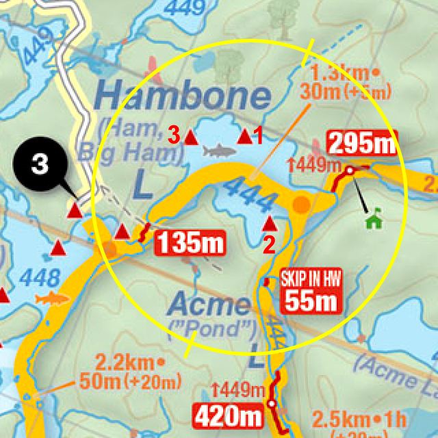
Thanks to Jeffrey McMurtrie of Jeff'sMap for supplying the base-layer map component by Creative Commons licensing.
Date visited: mid-June 2009 ... Submitted by: Stephen Molson, March 2010