 Hambone Lake Campsite #3 N45 40 27.7 W78 58 53.6
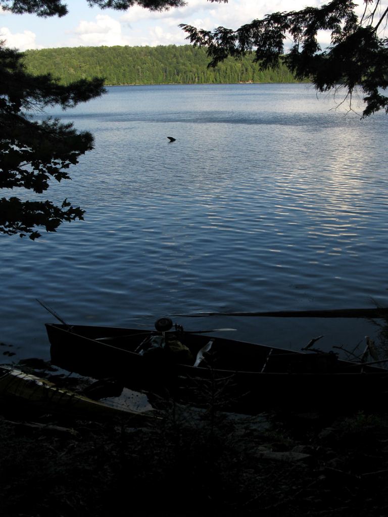
Landing
Topography of under-water approach: Fair, shaded east-facing landing over 2’ of water with rock and submerged timber.
Impediments to disembarking from and/or unloading a canoe: Landing area is small and narrow, some downed timber nearby.
Topography to tent sites: Short trail up to campsite area from the landing. Roughly 1.5 meter elevation from waterfront.
Campsite’s small landing area ...
![]()
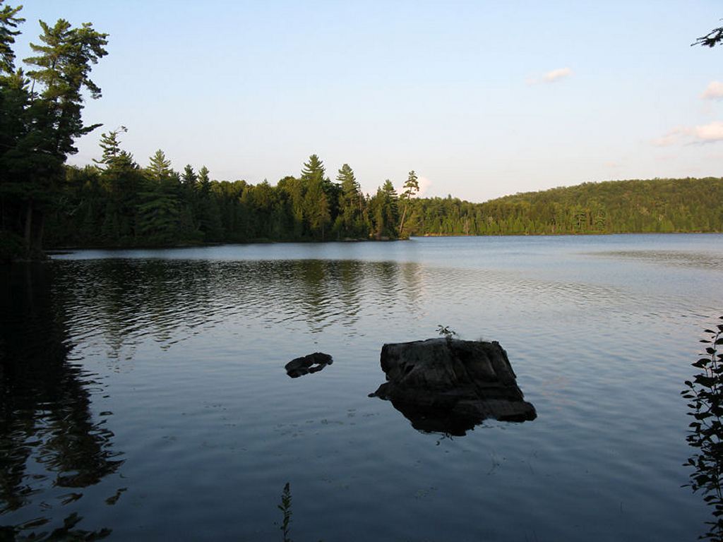
North-east view of lake from north end of campsite ...
![]()
Campsite
Regular or low-maintenance: Regular
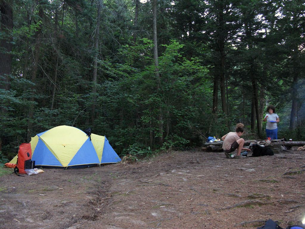
Size of open area: 60’ x 40’.
Extent of tree cover: 95% canopied over campsite.
Degree of levelness: A little angled around firepit and tenting area, but not too bad.
Number of level tent sites: 2 sites adequate for a <=3 person tent.
North exposure: Landing and site protected from the north winds.
East exposure: Landing fully exposed to east, north-east and south-east winds. Tent site and firepit adequately protected.
South exposure: Southern exposure from canoe landing only.
West exposure: Landing and site protected from the south winds.
General description: Fair to poor smallish campsite. Very little sun exposure due to heavy overhead cover and east-facing aspect. Site is recessed inside the forest. Poor swimming due to emergent weeds (lilies), submerged timber and no lounging. Water drops off into 10m+ depths offshore. Thunder box located west of campsite. No issues with firewood – lots of quality hardwood behind site. Great sunrise view but no sunset.
Overall accessibility: Fair to poor.
Tentsite and firepit location ...
![]()
North view of lake and vegetated shoreline as seen from campsite ...
![]()
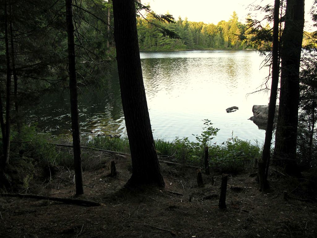
View west of campsite of hardwood forest, with trail leading to thunderbox ...

![]()
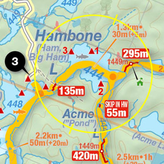
Thanks to Jeffrey McMurtrie of Jeff'sMap for supplying the base-layer map component by Creative Commons licensing.
Submitted by Stephen Molson .. Visited September, 2010 .. Submission February, 2011