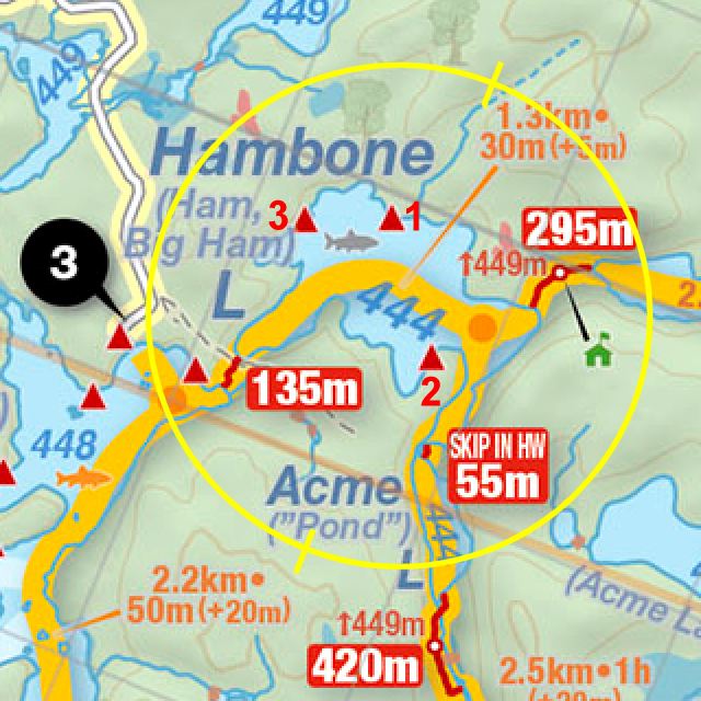
 Hambone Lake Campsite #2
Landing
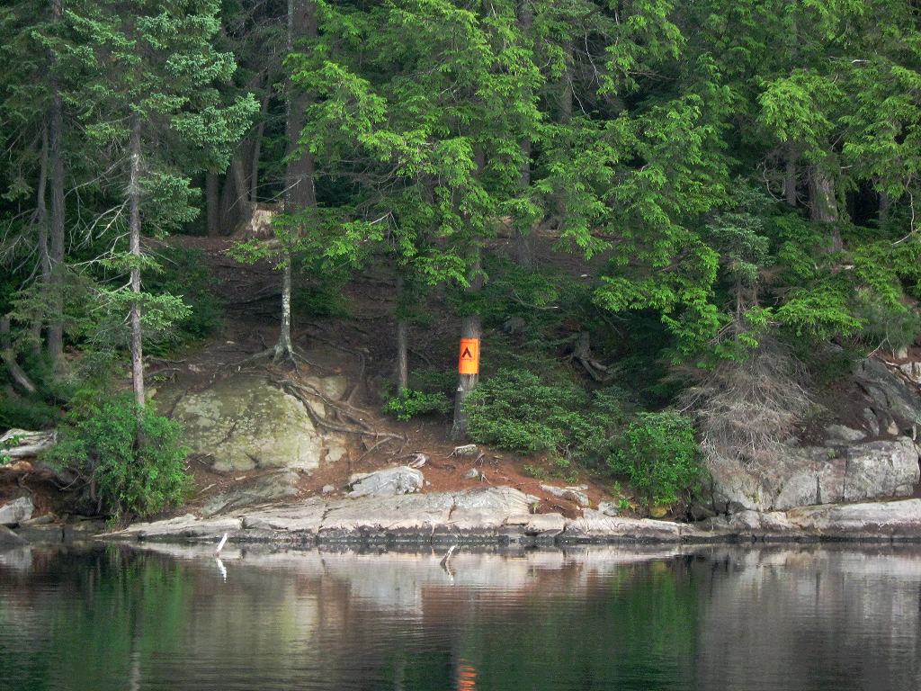
From the water, the total rise of around 30 feet is quite apparent ...
![]()
Topography of under-water approach: Deep water up to large mass of rock.
Impediments to disembarking from and/or unloading a canoe: None. Plenty of room to step-out and to unload onto rock.
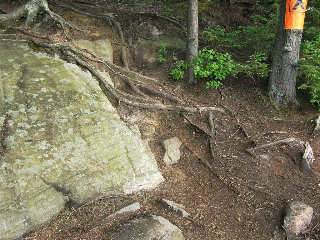
Topography to tent sites: A moderate 5 foot rise on the lower rock. Then a steep 10 foot rise amidst eroded tree roots. Then another 15 foot rise of appoximately 45 degree forest floor.
This steep section of the rise is amidst eroded tree roots ...
![]()
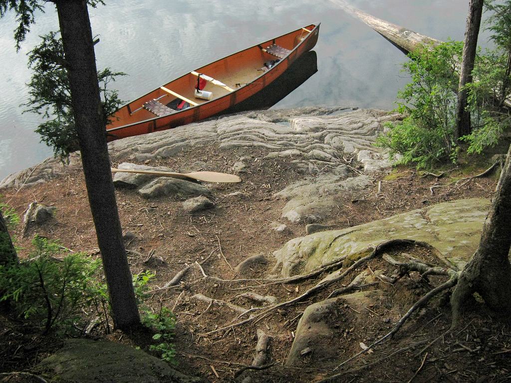
Looking back down the steep section of the rise amidst eroded tree roots ...
![]()
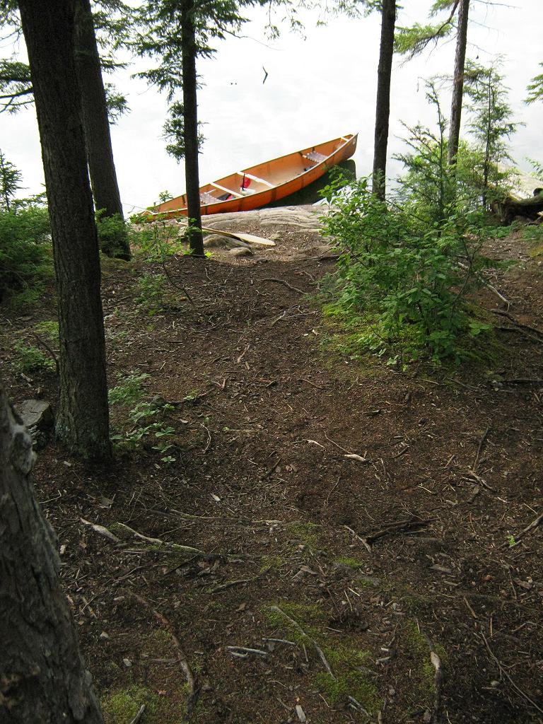
Looking down from higher up, the steeper section isn't all that apparent ...
![]()
Campsite
Regular or low-maintenance: Regular
Size of open area: irregular 60’ x 100’ area over the firepit location.
Extent of tree cover: 65% mix of canopy and large pines, located over the rear of campsite.
Degree of levelness: Level areas are located to the rear.
Number of level tent sites: 3 sites, suitable for larger tents.
Looking westward, from tentsites toward firepit area ...
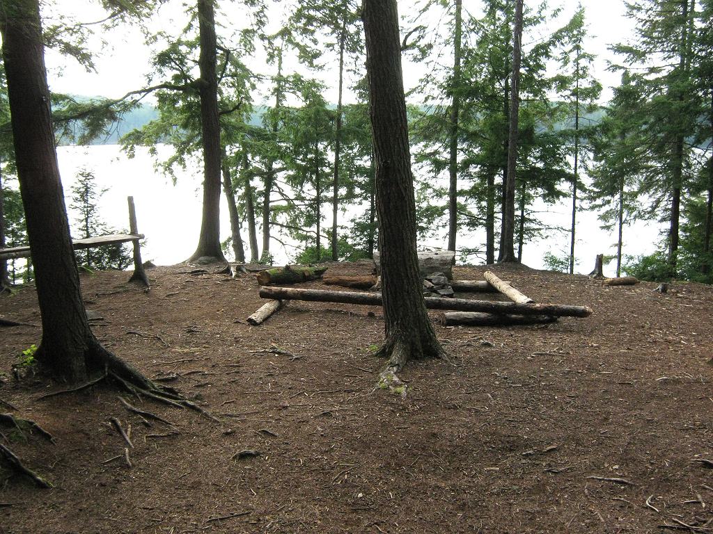
![]()
Main tentsite area ...
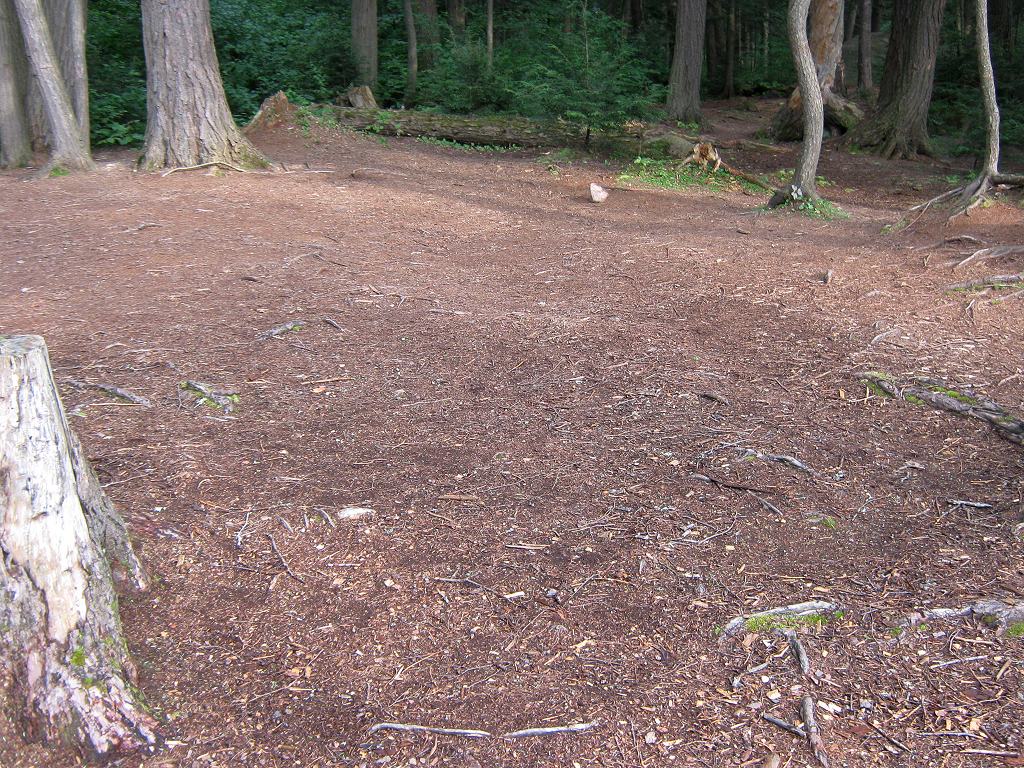
![]()
Adjacent single tentsite area ...
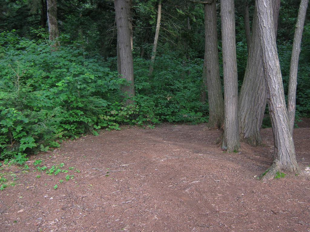
![]()
North exposure: Dense forest.
East exposure: Dense forest.
South exposure: Less dense forest.
West exposure: From the actual campsite's height, the lake view is broken-up by intervening trees. At lake-level, the shoreline rock provides a nice view, afternoon sun and sunset.
General description: Spacious larger campsite, with limited view.
Overall accessibility: The steep access should be of particular concern for youngsters and older campers.
View to southwest across adjacent bay ...
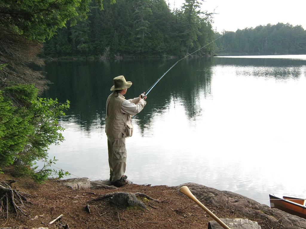
![]()
Thanks to Jeffrey McMurtrie of Jeff'sMap for supplying the base-layer map component by Creative Commons licensing.
Submitted by Barry Bridgeford .. December, 2011 .. Visited July, 2010