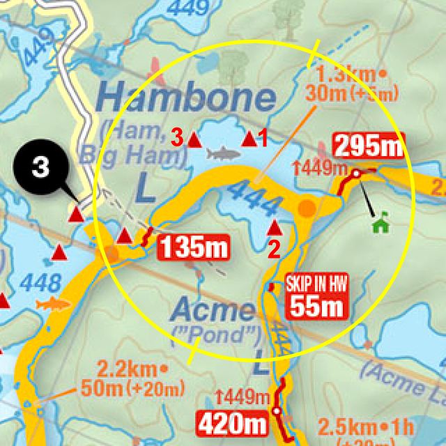
 Hambone Lake Campsite #1
Landing
Topography of under-water approach: East side of campsite point has a small shallow sandy approach.
Impediments to disembarking from and/or unloading a canoe: Sandy landing requires stepping out into the water.
Topography to tent sites: A 45 degree rise through tree roots.
Campsite point's east side has this sandy landing. One tentsite is visible inland ...
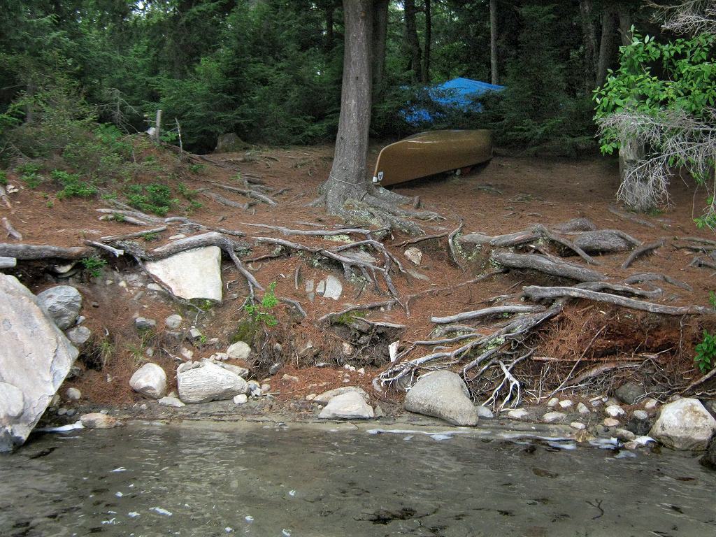
![]()
Another tentsite is visible to the left ...
![]()
Campsite
Regular or low-maintenance: Regular
Size of open area: irregular 100’ x 150’ area.
Extent of tree cover: 60% mix of canopy and large pines over campsite.
Degree of levelness: Adequate level areas are scattered about.
Number of level tent sites: 3 sites, suitable for larger tents.
Tentsite and firepit location, looking eastward ...
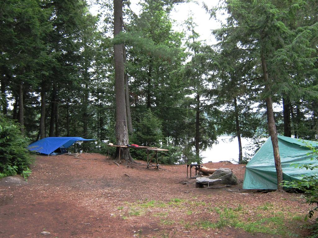
![]()
Firepit is up against a "reflector" rock ...
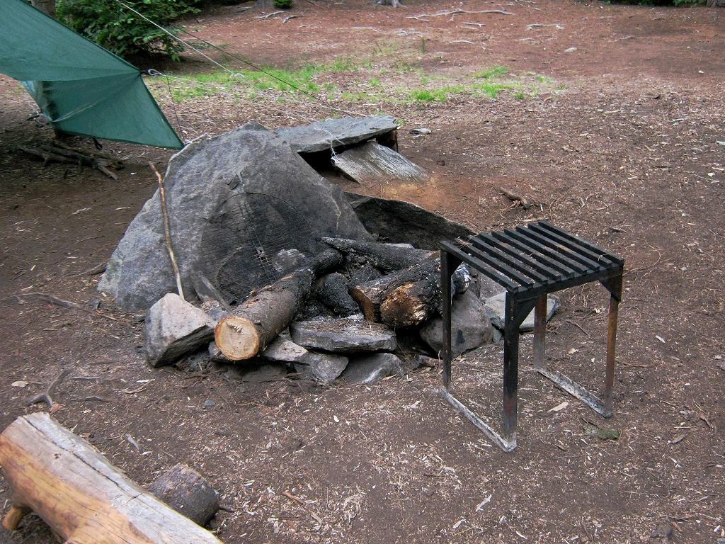
![]()
North exposure: Dense forest.
East exposure: While campsite is on a point with an open exposure, shoreline trees block tentsites from east wind.
South exposure: Shoreline trees block tentsites from south wind. Only one small area of shoreline rock has regular exposure to the afternoon sun.
West exposure: Dense forest to the west blocks sunset view.
General description: Spacious larger campsite. Despite being on a point, shoreline trees block out views of the lake. Shadow overcomes the campsite by late afternoon.
Overall accessibility: Adequate landing access, but requires stepping out into water and hauling canoe up embankment for evening.
Looking south, between shoreline trees, toward portage from Magnetawan Lake ...
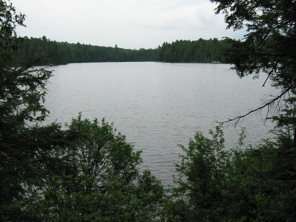
![]()
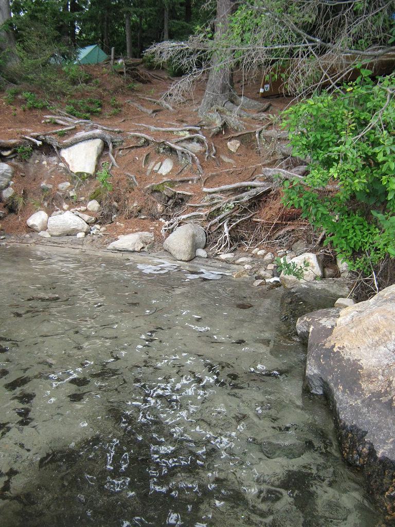
Campsite point's west side. Sandy landing is out of view on far side of point ...
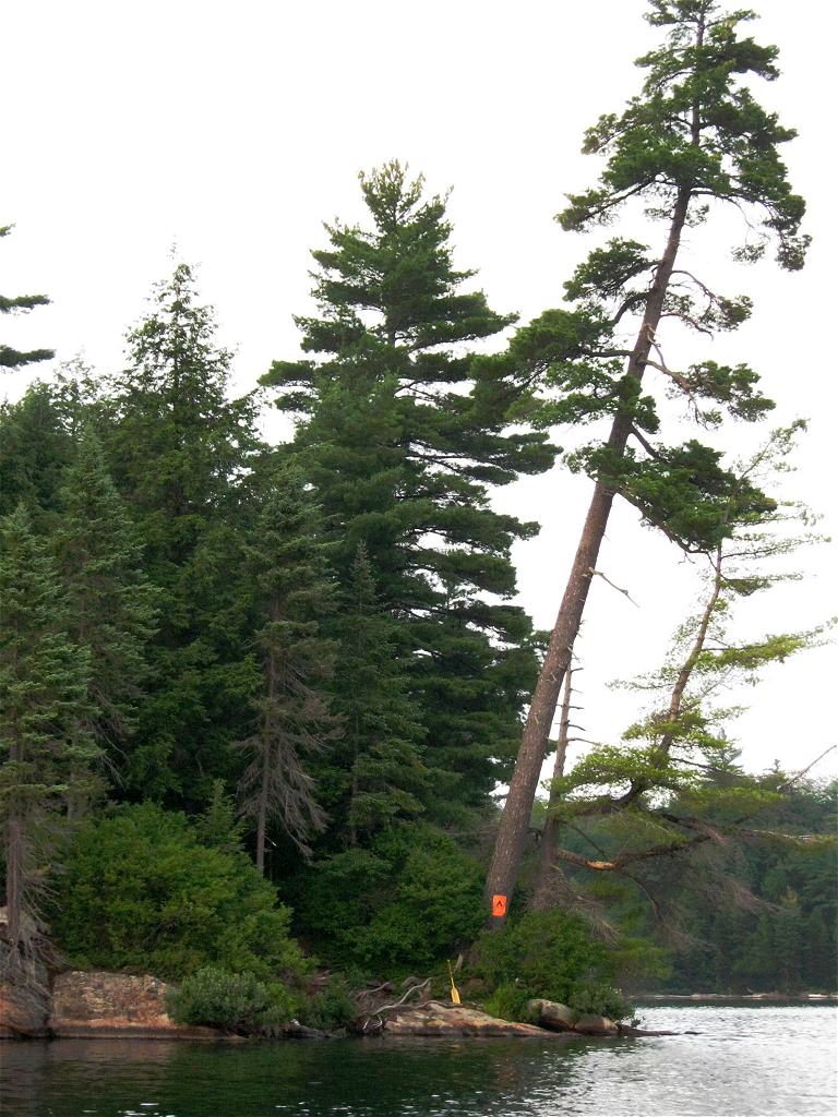
![]()
Thanks to Jeffrey McMurtrie of Jeff'sMap for supplying the base-layer map component by Creative Commons licensing.
Submitted by Barry Bridgeford .. December, 2011 .. Visited July, 2010