 Gull Lake Campsite #1
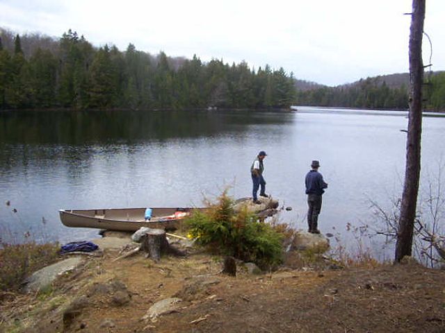
Landing
Topography of under-water approach: Shoreline is all rock and flat.
Impediments to disembarking from and/or unloading a canoe: Sharp dropoff into deep water just off of the shoreline.
Topography leading to tent sites: 3-4 meter uphill climb to tent and firepit area.
Canoe hauled up on flat rocks ...
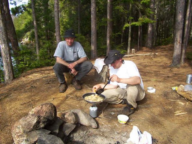
Campsite
Regular or low-maintenance: Regular
Size of open area: Average
Extent of tree cover: None by the shoreline, good tree cover at the tent/firepit area.
Degree of levelness: Level at shoreline, incline to tent/firepit area, level at tent/firepit area.
Number of tent sites: 1
North exposure: Shoreline - fully open exposure, tent/firepit area - sheltered
East exposure: Sheltered from the east
South exposure:Shoreline - full exposure, tent/firepit area - semi-sheltered
West exposure: fully open exposure
General description: Small lake. Nice site, even with the exposure. Wind is not a problem.
Overall accessibility: easy access to campsite.
Note:Portages in from Cedar Lake are uphill and tough, a 114 meter climb.

Thanks to Jeffrey McMurtrie of Jeff'sMap for supplying the base-layer map component by Creative Commons licensing.
Submitted by Frank Sands (Sterrr) .. Submission March 14, 2009