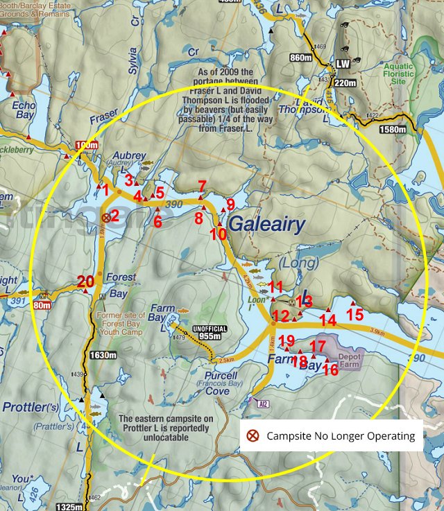
 Galeairy Lake Campsite #5
Landing
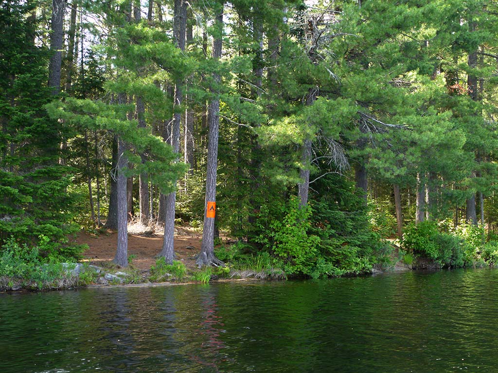
Topography of under-water approach: Unimpeded approach to shoreline.
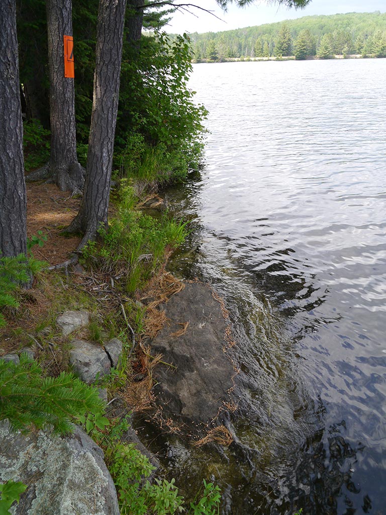
Impediments to disembarking from and/or unloading a canoe: Southmost landing (by the campsite sign) has deep water up to sloped rock, where one should exercise caution stepping out. Further north (in front of the firepit) the landing is less abrupt. In both landing areas, unloading benefits from two people.
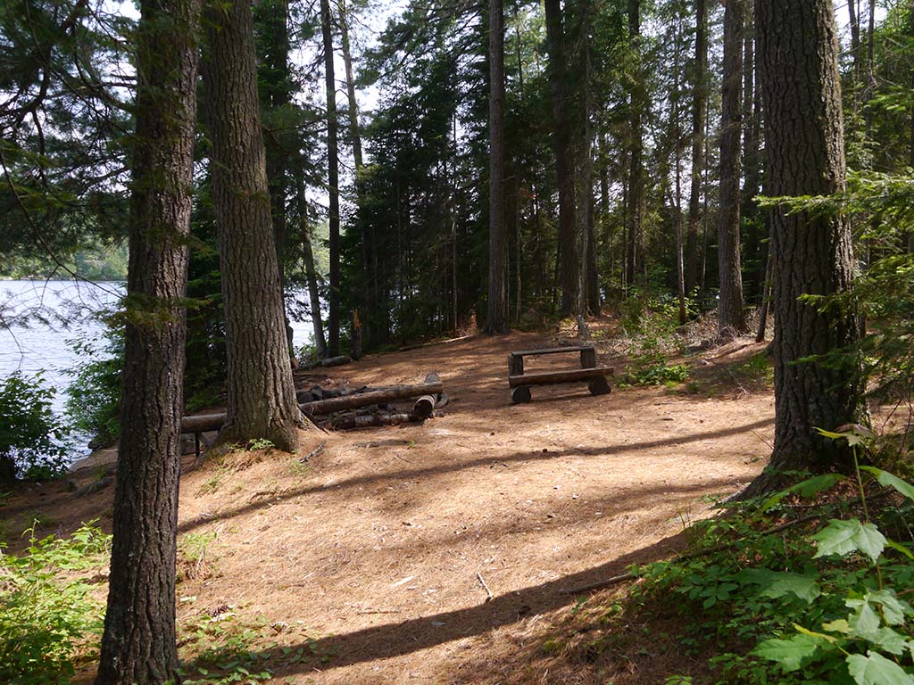
Topography to tent sites: A rising trail through open forest leads SSE to the campsite.
Campsite's shoreline ...
![]()
Southmost landing requires care on sloped rock shoreline ...
![]()
Campsite
Regular or low-maintenance: Regular
Size of open area: Approx. 6 by 20 meters, parallel to shoreline.
Extent of tree cover: Light canopy of pine trees over most of campsite.
Degree of levelness: Generally smooth surface with a gentle slope toward the shoreline.
Number of level tent sites: 5+ tent sites.
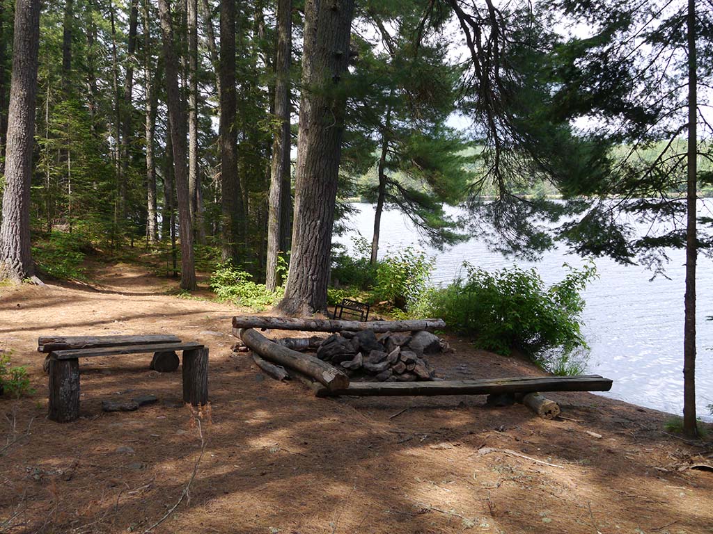
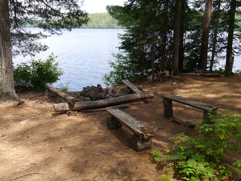
Looking south past the firepit .. with tent sites on either side ...
![]()
Looking north past the firepit ...
![]()
Looking east .. the firepit benches have a view of the lake ...
![]()
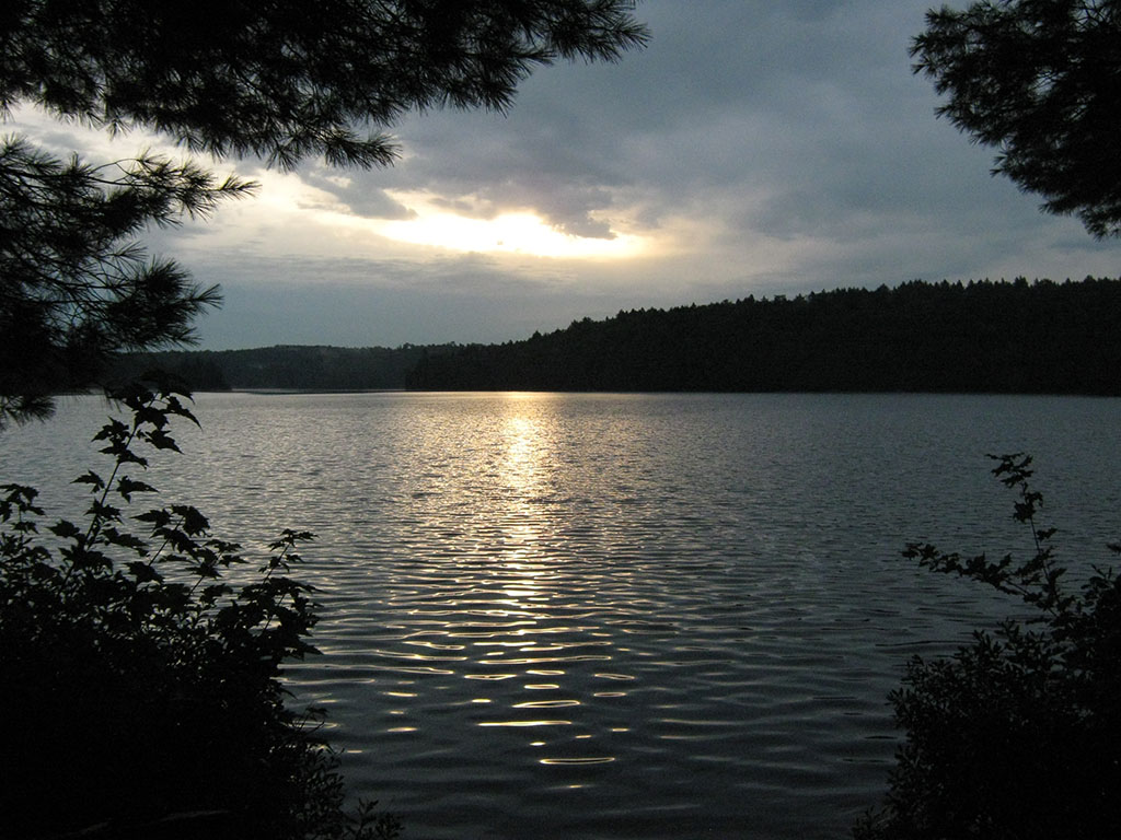
Sunrise view from the firepit ...
![]()
North exposure: Pine forest.
East exposure: Row of shoreline trees and lake.
South exposure: Pine forest.
West exposure: Forested upgrade, with thin canopy which allows mid-afternoon sun to hit the campsite.
General description: Spacious smooth campsite which offers protection from prevailing northwest winds. However, it lacks a sunny exposure or sunset view. And, its light forest canopy allows most rain to fall through unimpeded.
Overall accessibility: Other than care being required at its landings, the actual campsite is quite accessible.
Thanks to Jeffrey McMurtrie of Jeff'sMap for supplying the base-layer map component by Creative Commons licensing.
Submitted by Barry Bridgeford .. September 2013 .. Visited June, 2013