 Galeairy Lake Campsite #1
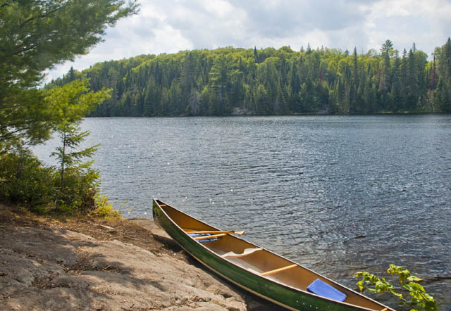
Landing
Topography of under-water approach: A mix of slab rock shelves and sand. As you approach the depth gradually gets shallow to about 1-2 feet at land. No underwater obstructions.
Impediments to disembarking from and/or unloading a canoe: Very easy to get out and pull canoe on to rock to unload.
Topography to tent sites: Low grade to campsite, which is mostly level.
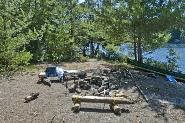
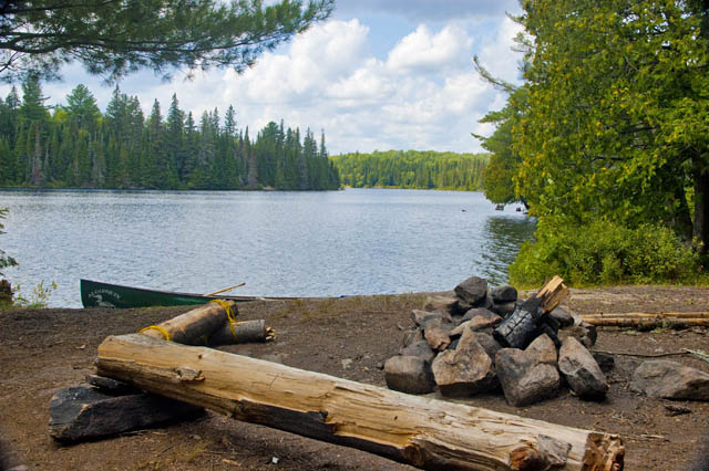
Western view - great landing to unload ...
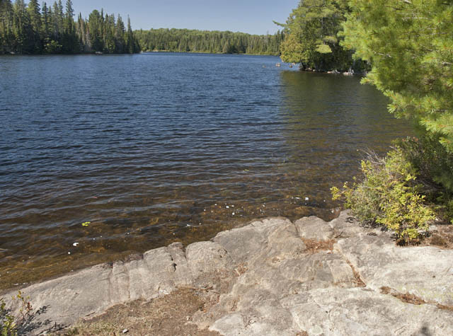
Northwest view - easy to walk out to swim/bath, waist-deep 5-10 ft out (sand & flat rock) ...
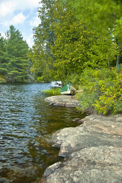
North view - two landings ...
Campsite access, marker to the right of landing ...
Campsite
Regular or low-maintenance: Regular
Size of open area: Large exposed area.
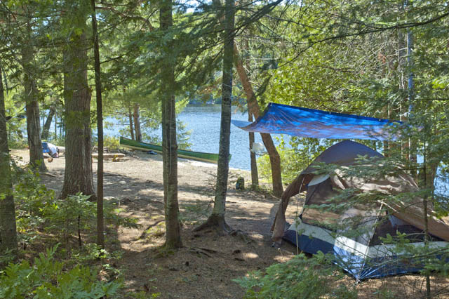
Extent of tree cover: Open firepit and canoe landing. Little exposure around tent location.
Degree of levelness: Slight slope in spots. Overall level.
Number of level tent sites: 1 is flat. 2 have a few roots and rocks.
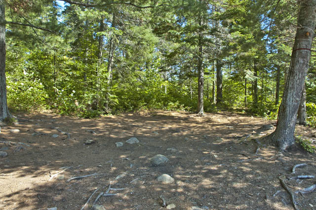
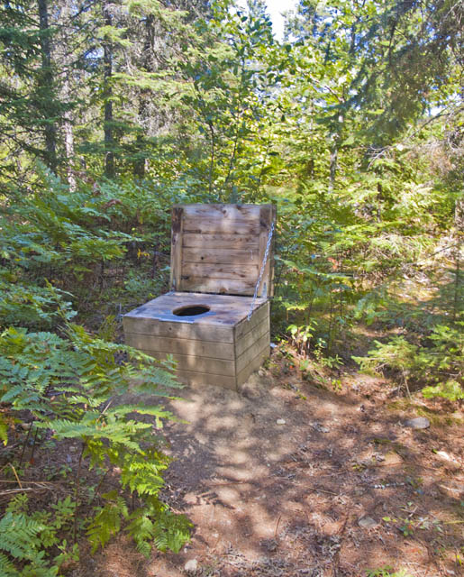
North exposure: Forest and trails, including trail to thunderbox.
East exposure: Forest with trails.
South exposure: Forest with trails.
West exposure: Open to the water by the landing and firepit.
North view ...
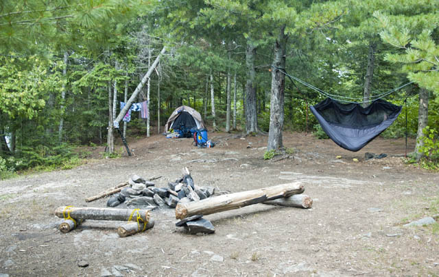
South view, with some camp grills left behind ...
Flat bottom, slight slope and little open to the sky ...
Behind the hammock are maybe 2 rough tentsites with roots and small rocks ...
Northwest view toward portage to Rock Lake, great for star-gazing ...
Thunderbox was in good shape ...
The southwest view from the nearby old Aubrey Lake train track embankment ...
General description: The campsite was well maintained and spacious. Northwest wind funnels over canoe landing and firepit, helping clear bugs. Rest of the campsite was blocked from the wind by the trees. Firewood could be found on the island and nearby area. Lots of spaced-out trees to tie tarps, clothes line and hammock. Lots of trails to explore and access shore-fishing. Lots of sun from noon to evening.
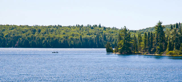
Overall accessibility: Easy access for all age groups. Great swimming.
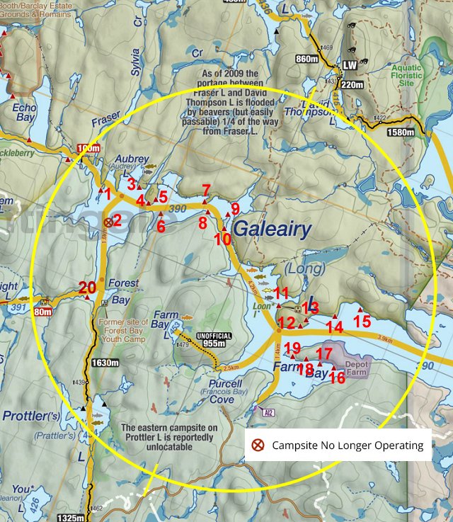
Thanks to Jeffrey McMurtrie of Jeff'sMap for supplying the base-layer map component by Creative Commons licensing.
Submitted by Paul Agostini .. September 5 2019 .. Visited August 18-20, 2019