 Fork Lake Campsite #2
Landing
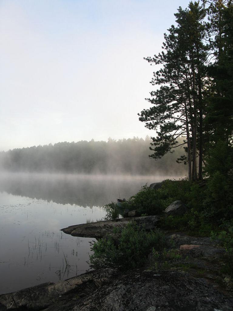
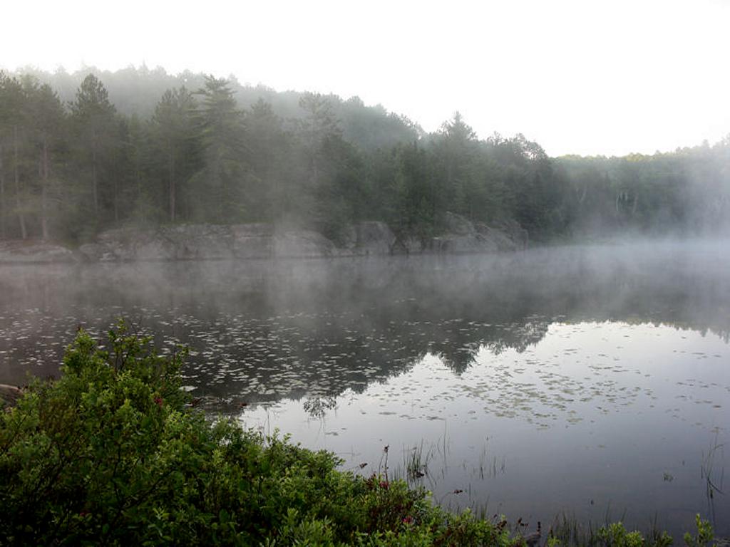
Topography of under-water approach: A number of possible landings at this island site – each along a shallow smooth pebbly-bottom and rocky shelf bordered by shrubbery. Main landings are on the island’s west shoreline – along any exposed smooth granite outcrop. The landing in front of the firepit (south shore) is more steeply sloped over deeper (3’) water.
Impediments to disembarking from and/or unloading a canoe: None other than shrubbery when water levels are high.
Topography to tent sites: Short incline up to campsite area from the landing. Roughly 1 meter elevation from waterfront to tentsite. The path to campsite that navigates amidst shrubbery is roughly 35 meters in length from the canoe landing.
Campsite’s western landing area, looking north-west ...
![]()
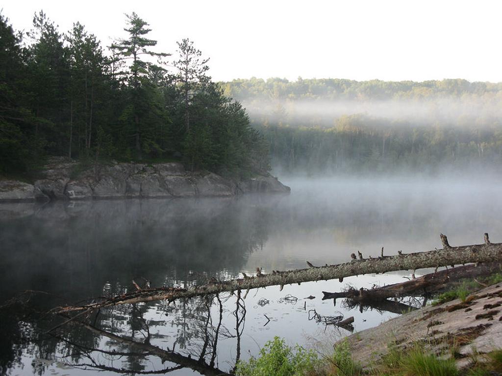
Southwest view of island’s shoreline ...
![]()
Campsite
Regular or low-maintenance: Low
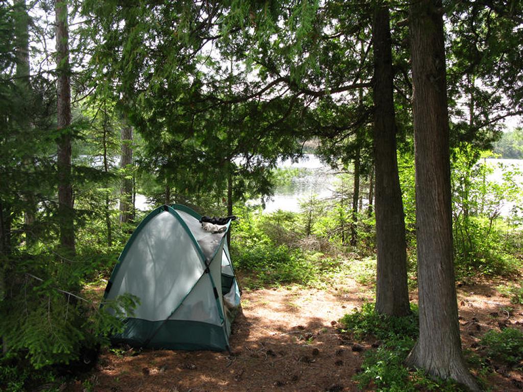
Size of open area 70’ x 30’. Extent of tree cover 5% canopied over firepit/kitchen, 70% canopied within selected tenting location.
Degree of levelness: Southern slope around firepit, tenting and tarping area relatively flat.
Number of level tent sites: 2 flat sites adequate for a <=3 person tent.
North exposure: Somewhat protected from the north winds.
East exposure: Landing and tent site adequately protected from east winds, but main firepit would be exposed.
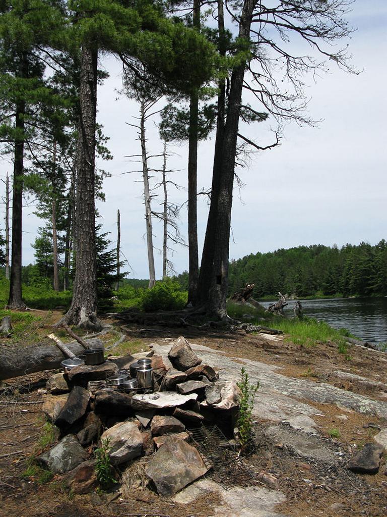
South exposure: Firepit and canoe landings exposed to southern winds.
West exposure: Firepit, tent site and landings are exposed to westerlies.
General description: Nice campsite overall – island sites generally are quite good and offer exploring and privacy. Very pretty setting with enough space to adequately support 5-6 trippers. Lots of berries found on island (blueberries, blackberries, serviceberries and strawberries) and birdlife. Great day-long sun exposure on exposed granite smooth sloped rocks. Poor swimming due to weeds and some soft bottom or timber-strewn shallow areas east of site. Main firepit is fully exposed to western and southern winds with no overhead protection and limited side cover. Thunder box located at high point north of tent location is also fully exposed. Firewood may be an issue for some due to the lack of tree cover and dead wood on the island. One log bench, but additional seating on hard-packed earth or on lounging rocks. Great sunset and sunrise views in addition to starry nights. Tent sites have limited tree cover but it does provide shade. Would be a poor choice in bad windy and/or wet weather.
Overall accessibility: Good.
Tentsite, looking south ...
![]()
Site’s exposed firepit, looking east ...
![]()
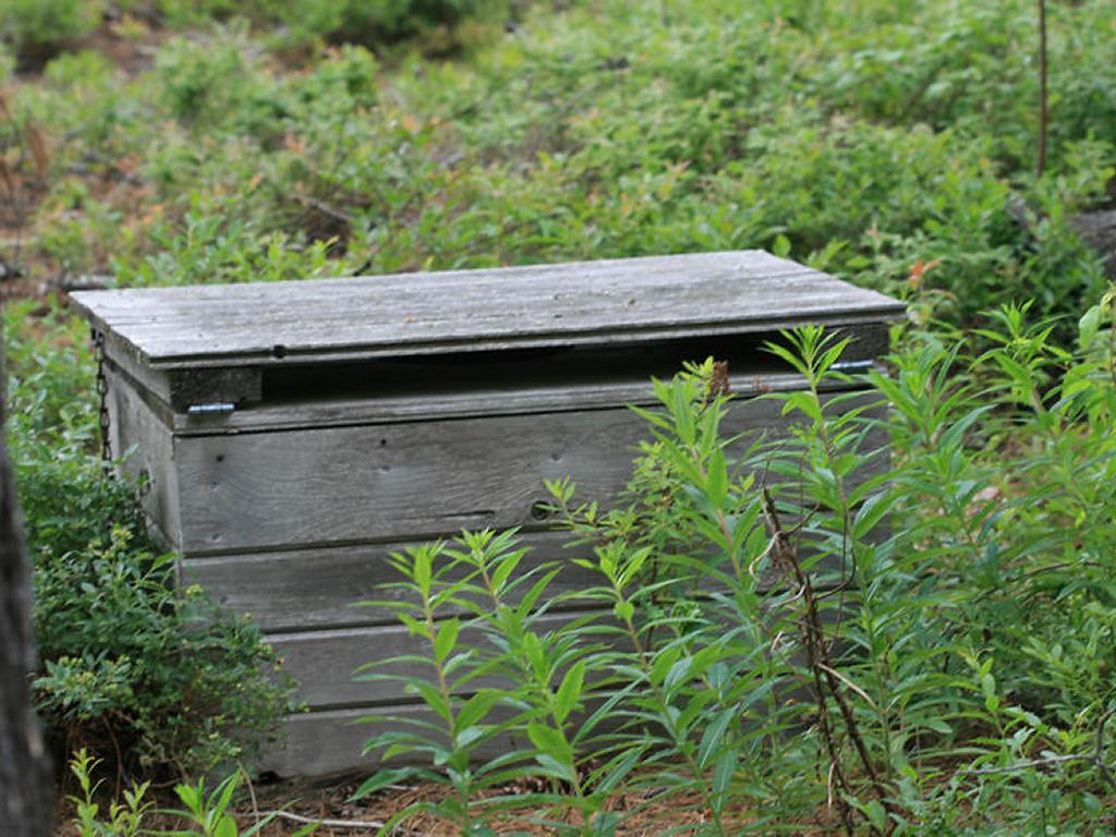
Thunderbox located behind tenting area, exposed amongst the berry bushes and wild-flowers ...
![]()
East of campsite, view of the southern shore ...
![]()
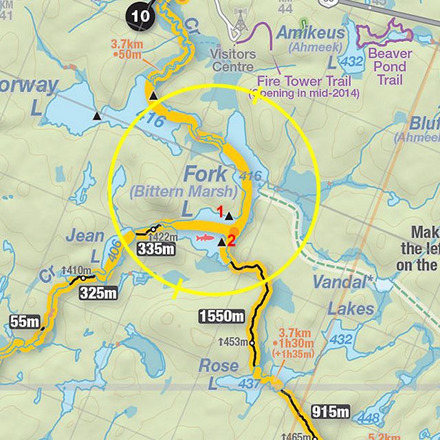
Thanks to Jeffrey McMurtrie of Jeff'sMap for supplying the base-layer map component by Creative Commons licensing.
Submitted by Stephen Molson .. Visited June, 2010 .. Submission Feb., 2011