 Daisy Lake Campsite #6
Landing
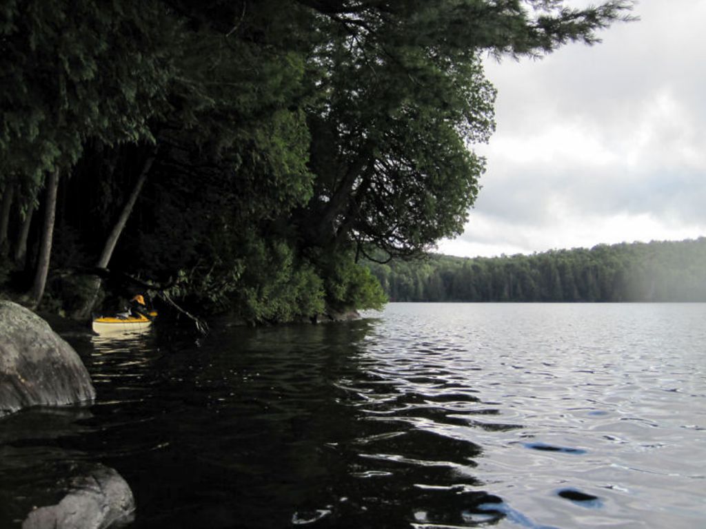
Topography of under-water approach: There's one decent landing over a flat shallow gravel shoal close to shore. A large cedar branch overhung the landing area had to be prodded/pushed aside gently for the longer boats. Otherwise steep rock along shoreline, water depth 1 meter or deeper.
Impediments to disembarking from and/or unloading a canoe: Long low hung cedar branch covers landing closer to shore. It would be more of an issue at high water. There's lots of space up on campsite area to store boats out of water.
Topography to tent sites: Short uphill incline to campsite area from the landing over hard earth and rock. Roughly 2.5 meters elevation from waterfront.
Campsite’s eastern landing area, looking south-west ...
![]()
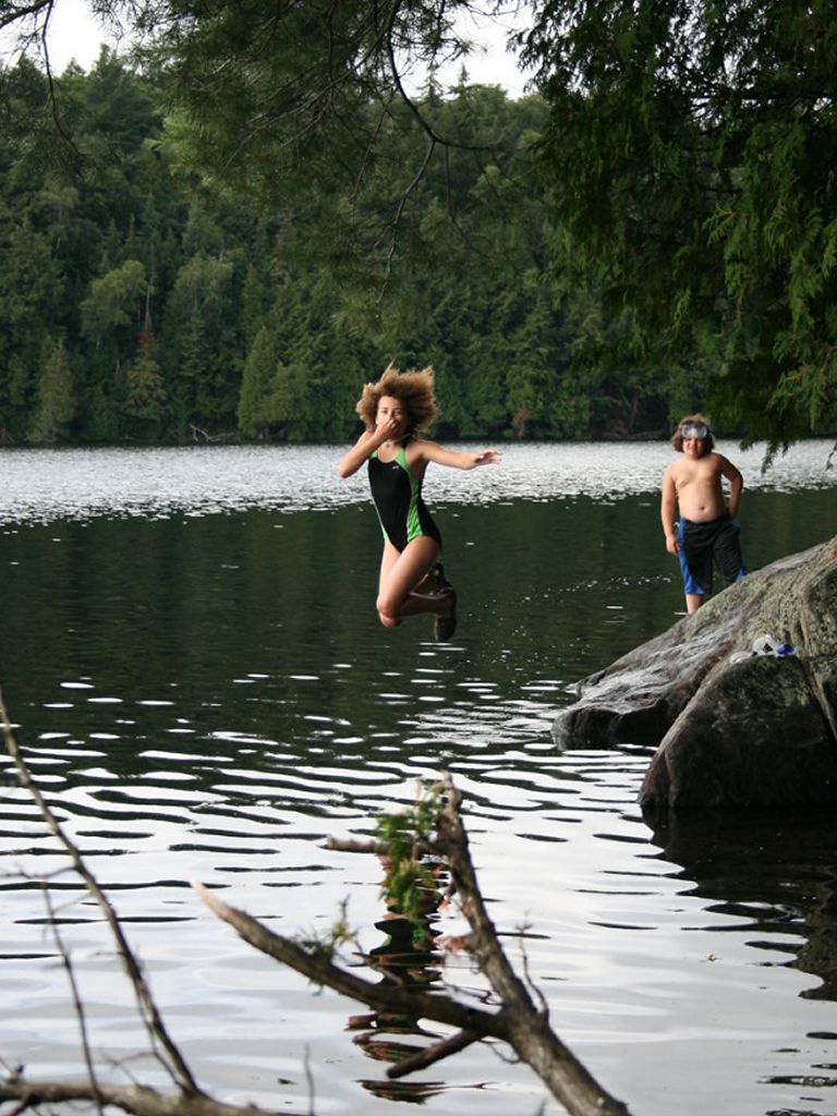
Looking north from campsite’s landing. Note cedar branch at boat landing. ...
![]()
Campsite
Regular or low-maintenance: Regular
Size of open area: 90’ x 50’.
Extent of tree cover: 85% canopied over firepit, kitchen and tenting area.
Degree of levelness: A slight angle throughout most of the campsite, including tent locations.
Number of level tent sites: 3 sites adequate for <=3 person tents.
North exposure: Landing and campsite are exposed to the North, N-W, S-W and west winds.
East exposure: None – mature evergreen forest behind campsite.
South exposure: South-westerly exposure from canoe landing only. Tent site is adequately protected.
West exposure: Campsite and landing fully exposed to strong westerlies.
General description: Fair campsite overall. Site had a ‘worn’ feeling to it but it wasn’t too bad. Good day-long sun exposure on exposed rocky point would provide potential for those seeking a lounging spot. Good swimming area, either off the landing or the rocky point. Water drops off into 1.5 m+ depths just off the point. Main firepit exposed to western, N, N-W and S-W winds but does have overhead protection. Thunder box is located east of firepit up a little hill. No issues with firewood. Great sunset views but no sunrise views. Forest path exists linking this campsite to its due-south neighbor.
Overall accessibility: Fair.
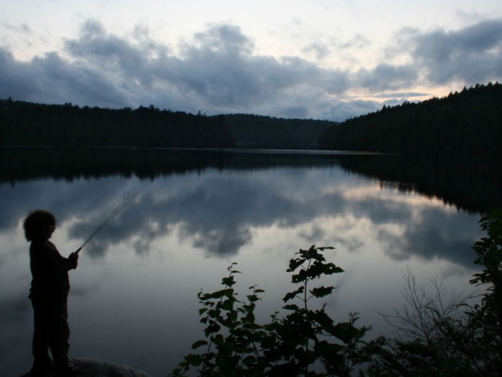
West view of lake from campsite. The bay back to Pond Lake portage in the distance. ...
![]()
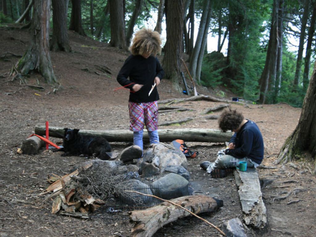
Site’s firepit and bench area ...
![]()
Tent area ...
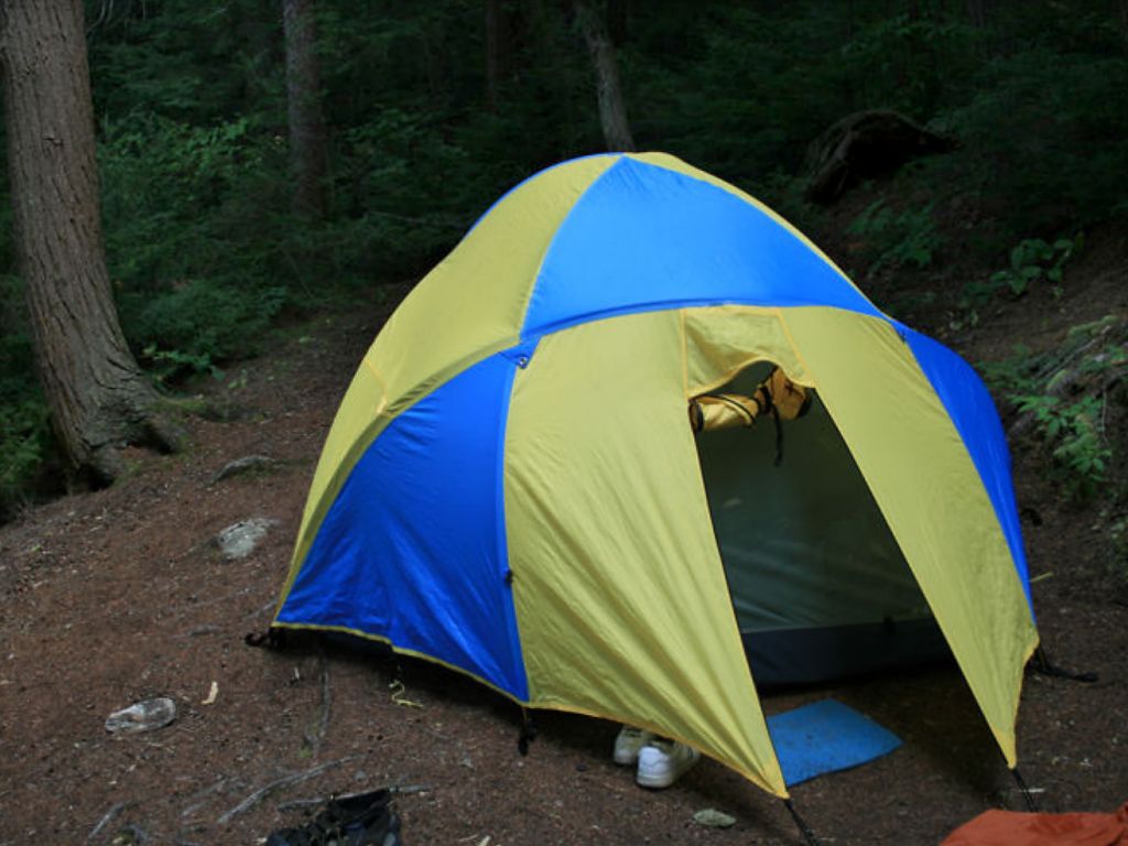
![]()
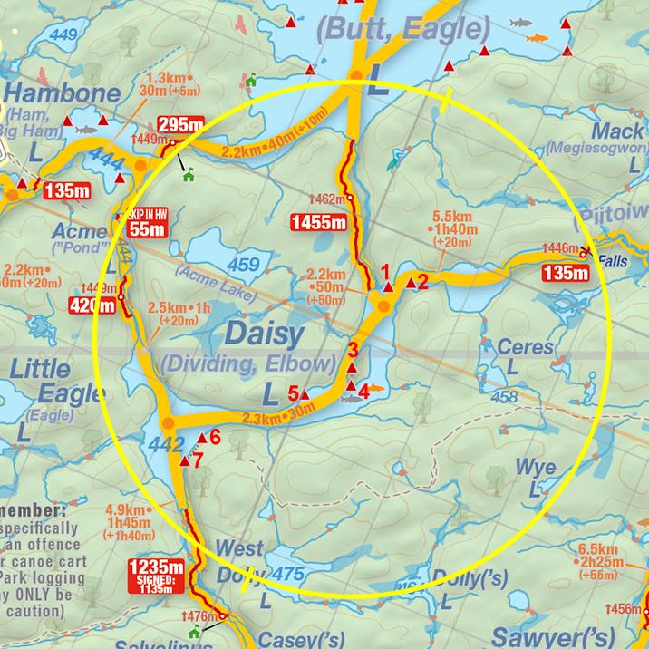
Thanks to Jeffrey McMurtrie of Jeff'sMap for supplying the base-layer map component by Creative Commons licensing.
Submitted by Stephen Molson, Feb. 2011 .. visited August 2010.