 Daisy Lake Campsite #4
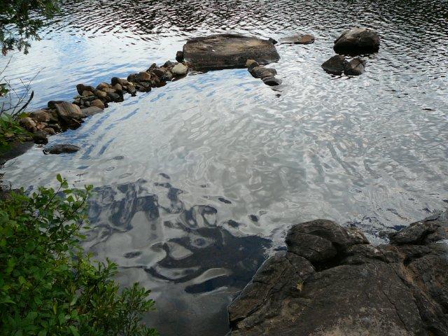
Landing
Topography of under-water approach: Small rocks, gravel, and some silt.
Impediments to disembarking from and/or unloading a canoe: None. One can step onto large rock or into no more than knee deep water. A breakwater of rocks has been placed in water to make a calm takeout possible. A natural clearing at the takeout provides an overnight spot for 2 -3 canoes.
Topography leading to tent sites: A 15m path rises 3m over some grass, rock, and root, to the front tent-pad.
Takeout knee deep water ...
Beginning of path up from takeout ...
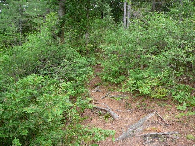
Middle of path up from takeout ...
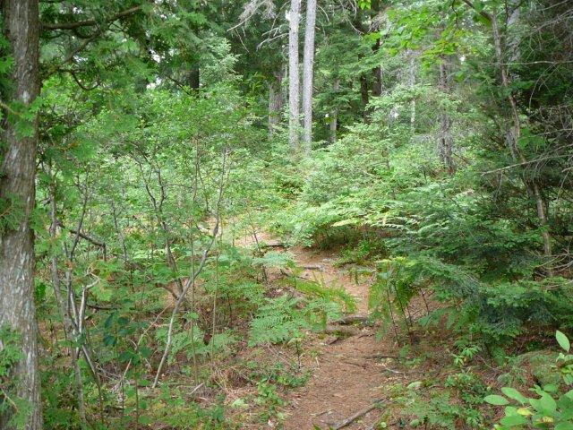
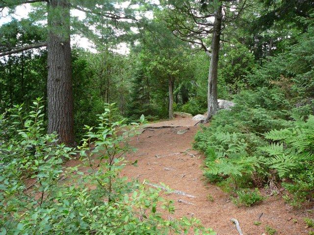
Upper part of path to front tent pad ...
Campsite
Regular or low-maintenance: Regular
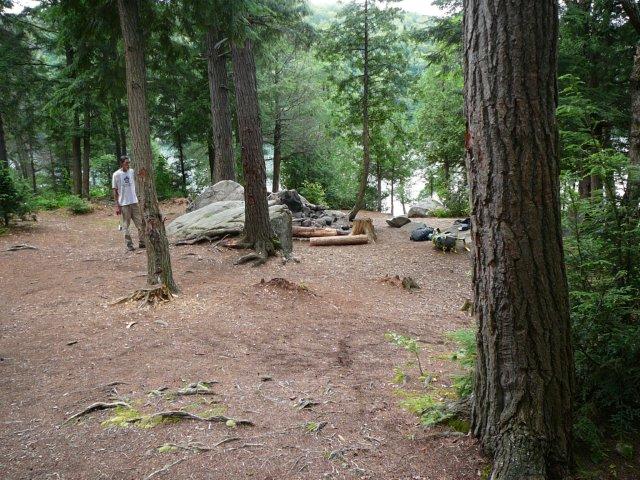
Size of open area: : 35m x 10m.
Extent of tree cover: Light.
Degree of levelness: Slope significantly from back to front.
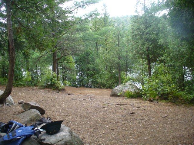
Number of level tent sites: 3 +.
North exposure: Trees and Hill.
East exposure: Trees.
South exposure: Trees and lake.
West exposure: Trees, allows view of lake.
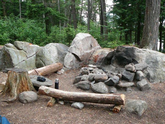
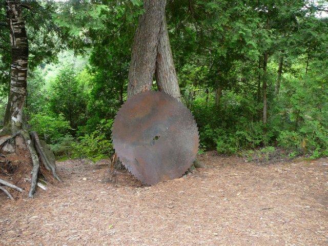
General description: : The site with the sawblade. Big site with significant slope. Somewhat lumpy ground, and trees are present when looking for a tent pad. Very nice firepit. Wind from the west could be an issue if it's strong enough. No sun until late morning and afternoon, then early sunset because of tall trees and close proximity to western shore of Daisy Lake.
Overall accessibility: A bit of a climb to the thunderbox located up the hill at the back of the site. As well, a bit of a walk up from the takeout. The front of the site is a great place to sit with the sun setting.
Protected firepit ...
Looking south from the trail leading to thunderbox ...
Tent pad at front of site ...
The famous sawblade (campsite #1 once had a similar sawblade) ...
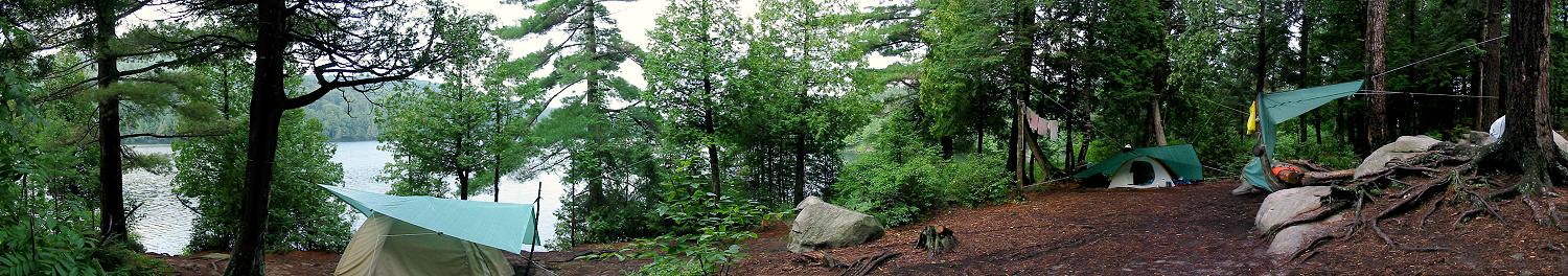
2002 panorama of campsite, with view west up lake (photo: B. Bridgeford) ...
![]()
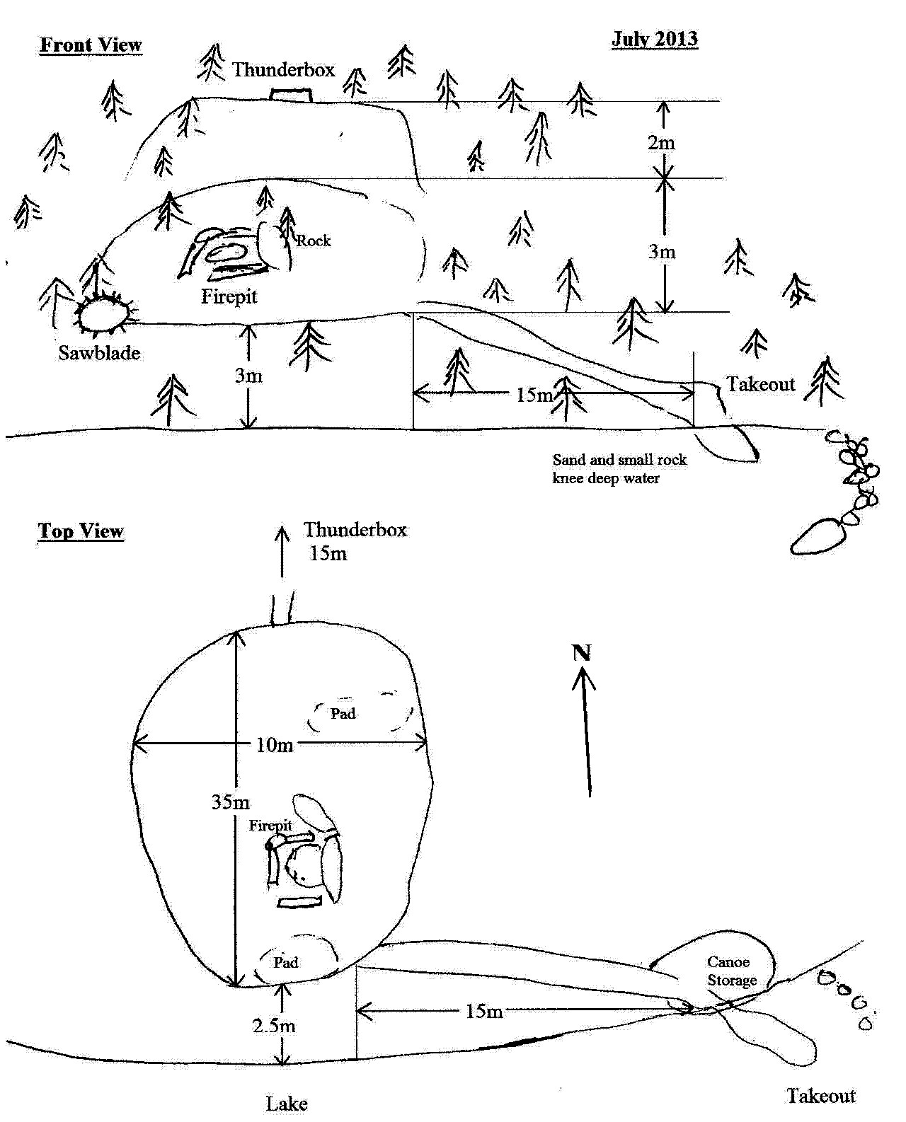
Schematic of campsite ...
![]()
Thanks to Jeffrey McMurtrie of Jeff'sMap for supplying the base-layer map component by Creative Commons licensing.
Submitted by Chris Taylor, Aug. 2013 .. visited 2013.