 Crotch Lake to Shirley Lake Portage
Length of portage: 1050m
Portage maintenance regular or low: Regular.
Elevation above Sea Level @ Crotch Lake is 390 meters.
Elevation above Sea Level @ Shirley Lake is 402 meters.
Difference in elevation: 12 meters.
Elevation of highest point: 407 meters. Overall rise/fall: 17 meters.
Landing at Crotch Lake
Topography of under-water approach: One has to paddle up the creek that flows from Shirley Lake. The portage landing is the sand and gravel bank of the creek. A somewhat pronounced current sweeps by it, so one must take care to jump ashore with canoe-rope in hand. There are usually no large rocks in the water, as the current tends to keep the bottom pretty smooth. Note: In times of high and fast run-off, one might be forced to come ashore southwest of the creek itself and to then possibly access the small path downstream of the landing.
Impediments to disembarking from and/or unloading a canoe: No impediments. Just hang on to your canoe-rope, or else the canoe may be swept downstream. Should that occur, there's a foot-trail high-up on the bank that allows you to run downstream and intercept your canoe.
Topography of the ascending grade: Moderate gravel slope up from the landing.
Impediments to moving gear to portage trail: Above the slope is a large level area. Empty canoes should be brought up the slope and placed to the side, so as to not clog the landing or portage.
Approach to the landing, up the creek ...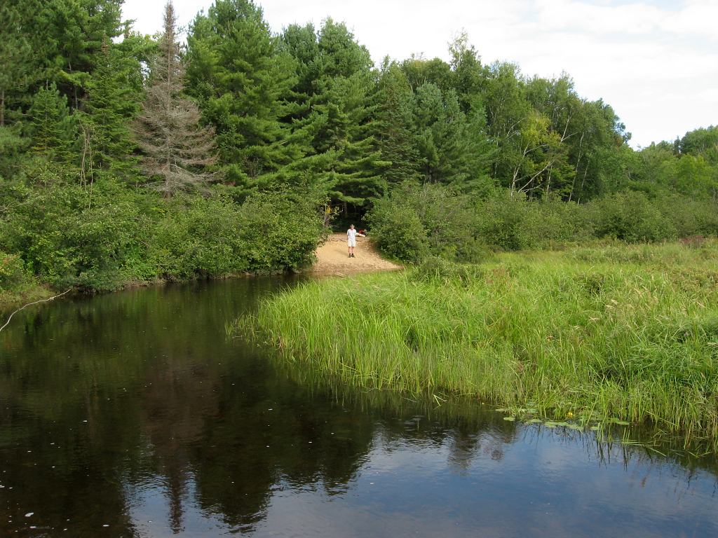
Portage Trail
General description: The portage is quite smooth, generally quite easy, with only a couple of moderate grade areas and the odd rough spot.
Topographical impediments to travelling: There's a heavily used logging road that crosses the portage, just a short distance from Crotch Lake. Keep your ears open for approaching trucks!
Areas susceptible to impact by periods of rain or beaver flooding: Part way in is a small brook that has washed out the trail. It requires special care in crossing.
Typical stretch of the trail, heading north upgrade ...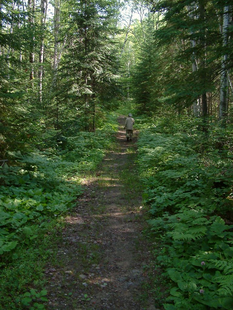
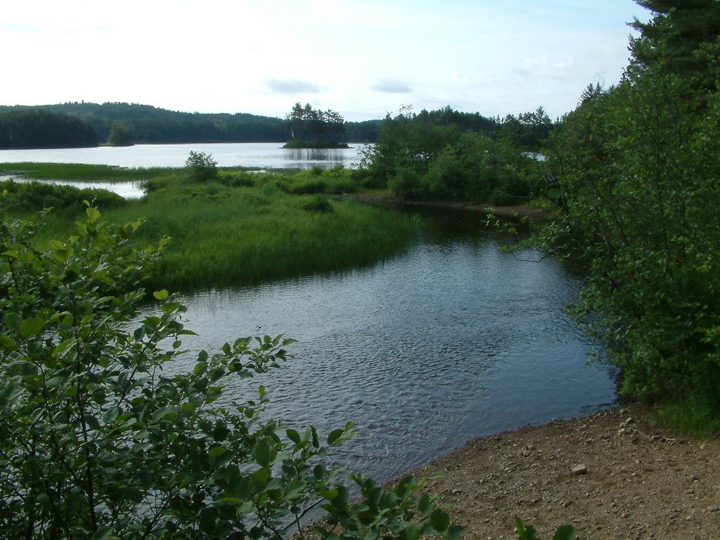
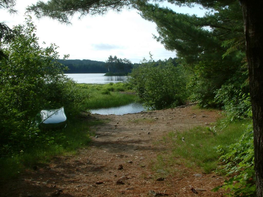
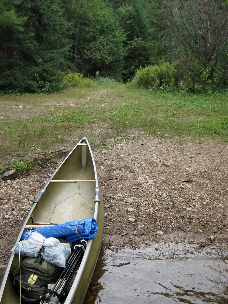
Landing at Shirley Lake
Topography of under-water approach: The landing at Shirley Lake is quite smooth. However, when approaching it from the north-east, it is visually tucked 'behind' a large rock hump, located well west of the floating safety barrier above the lake's outflow.
Impediments to disembarking from and/or unloading a canoe: None
Topography of the ascending grade: Negligible.
Impediments to moving gear to portage trail: None.
Smooth landing beach ...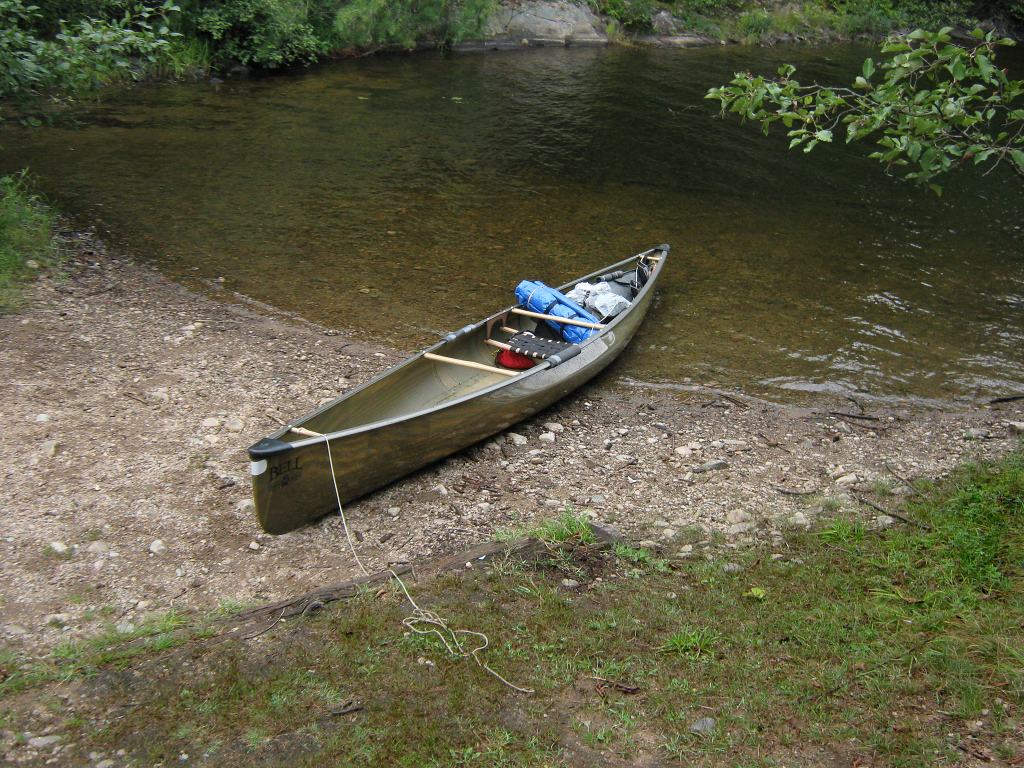
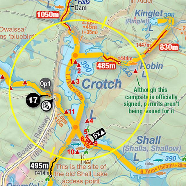
Thanks to Jeffrey McMurtrie of Jeff'sMap for supplying the base-layer map component by Creative Commons licensing.
Submitted by Barry Bridgeford, visited 2005,2006 and 2010, submitted March, 2011