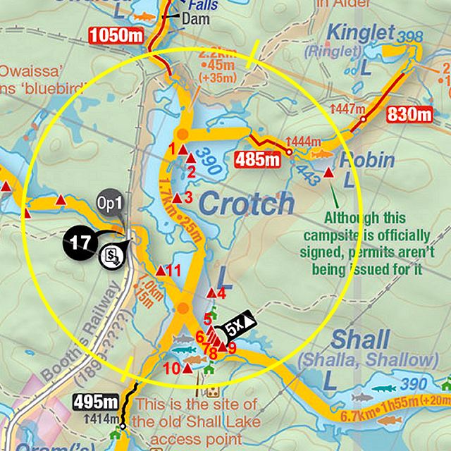
 Crotch Lake Campsite #7
Landing
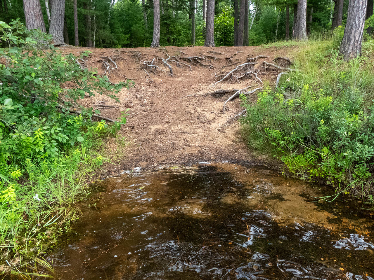
Topography of under-water approach: Sand and gravel slope.
Impediments to disembarking from and/or unloading a canoe: Landing area is a bit narrow.
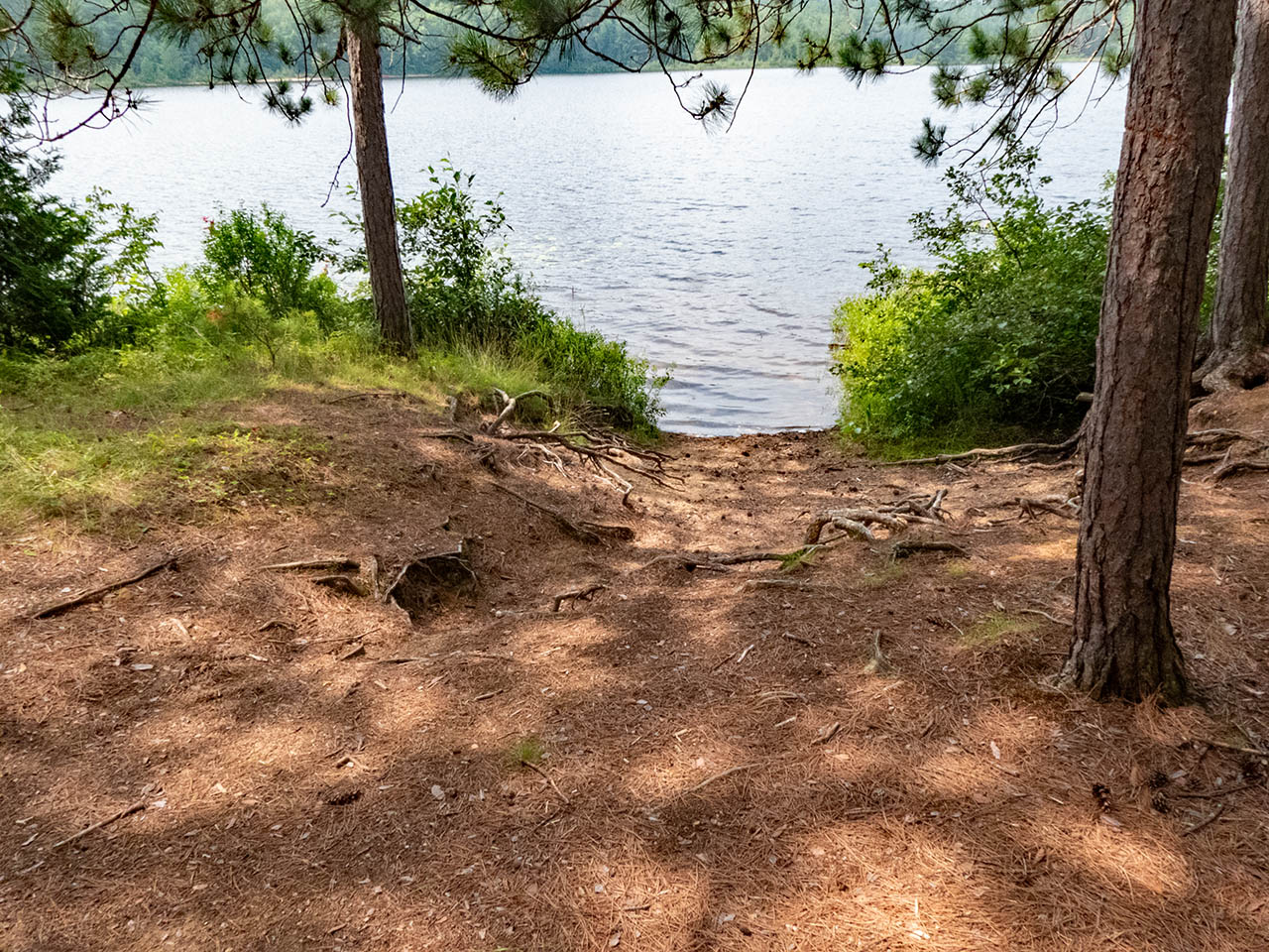
Topography to tent sites: Eroded sand and root slope.
 |
|
| Sand and gravel slope to the landing. | |
 |
|
| Looking back down to the landing and a view of the lake. | |
 |
|
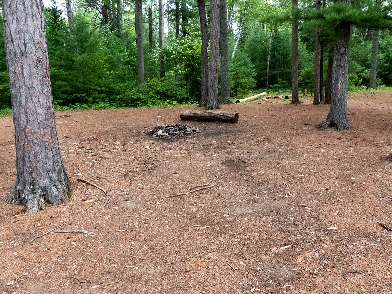
| Looking straight into the campsite over the firepit area. | |
 |
|
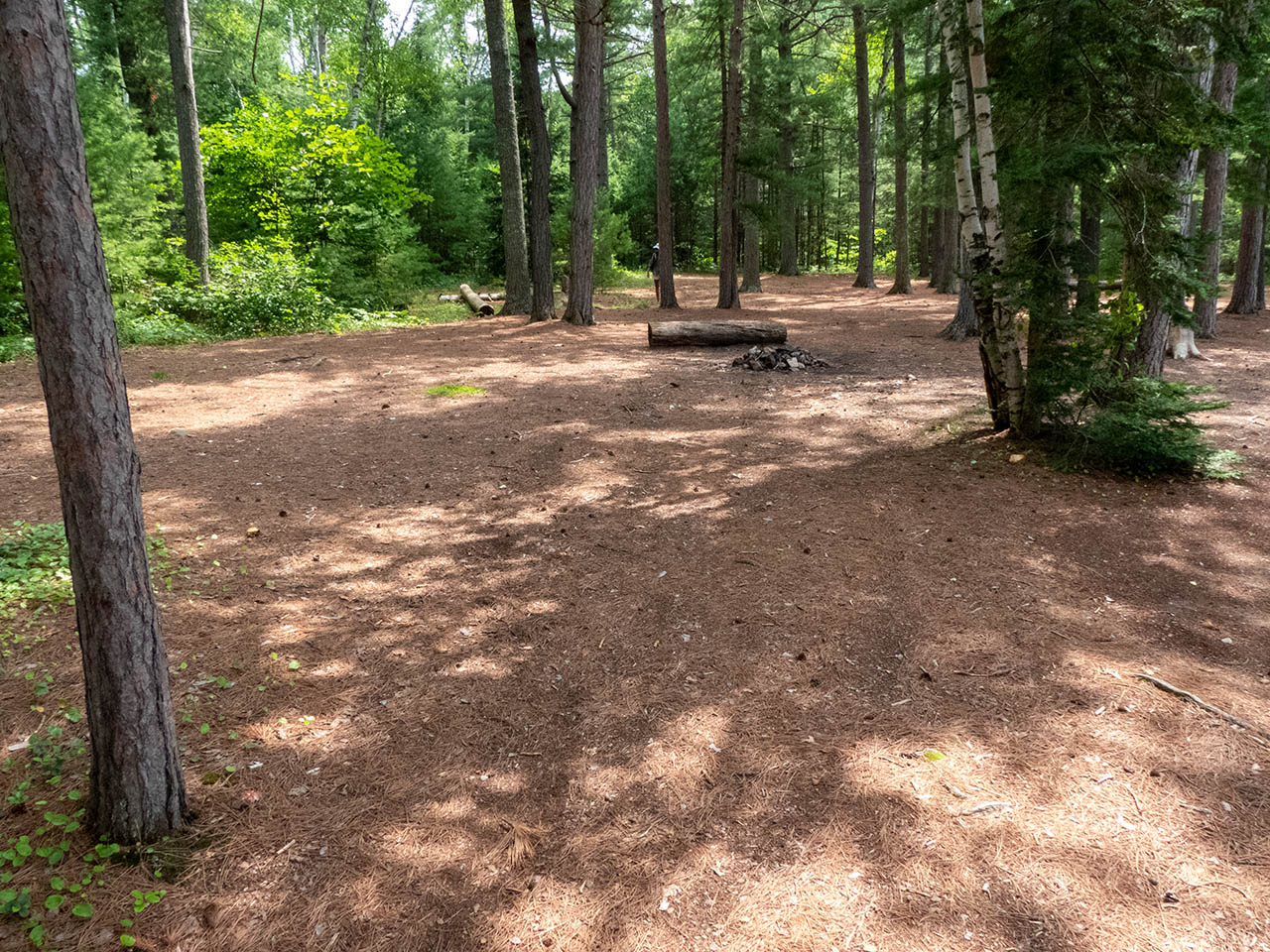
| Full width of the campsite showing expanse of tentsites. | |
Campsite
Campsite maintenance: Regular.
Size of open area: Substantial 35' x 75' open area at the top of the rise.
Extent of tree cover: Pine canopy over majority, but open understory is breezy..
Degree of levelness: While the campsite is on a substantial grade, each of the three components is level.
Number of level tent sites: At least four.
North exposure: Some trees.
East exposure: Trees.
South exposure: Some trees.
West exposure: Trees and shrubs break the view of the lake.
General description: One of five campsites that were originally the shoreline part of an old drive-in campground. This campsite more-or-less runs into the adjacent campsites. It has view of afternoon and evening sun.
Overall accessibility: Once past the rise from the landing, it is level.
Thanks to Jeffrey McMurtrie of Jeff'sMap for supplying the base-layer map component by Creative Commons licensing.
Submitted by Barry Bridgeford .. Visited July, 2023 .. Submission August, 2023