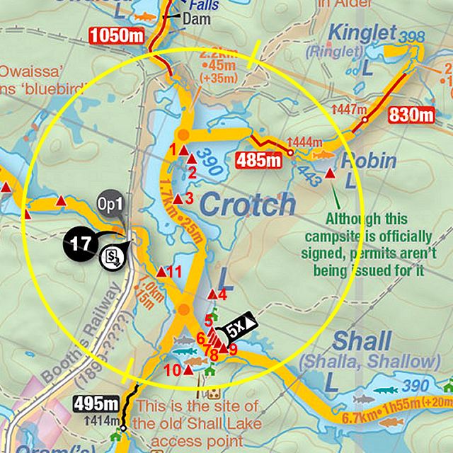
 Crotch Lake Campsite #1
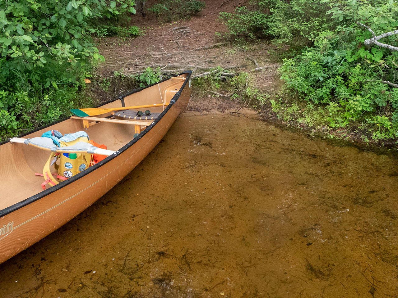
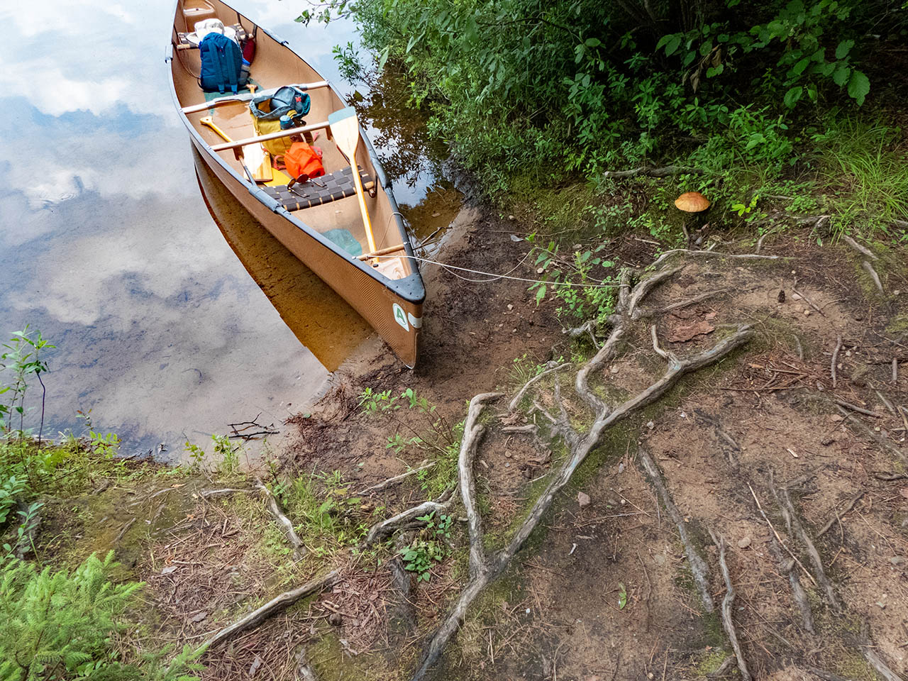
Landing
Topography of under-water approach: Gentle sand slope.
Impediments to disembarking from and/or unloading a canoe: None.
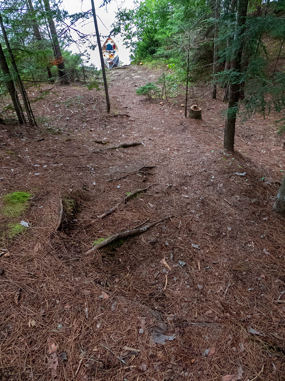
Topography to tent sites: Moderate dirt and root rise.
 |
|
| Gentle sand landing. | |
 |
|
| Landing seen from onshore. | |
 |
|
| Looking down the rise from the landing. | |
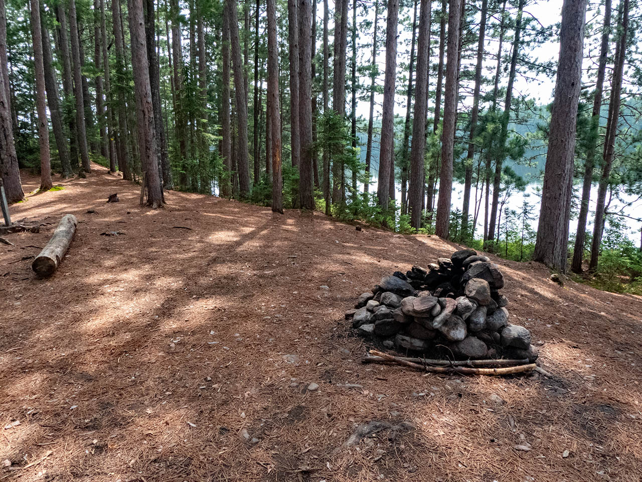
Campsite
Campsite maintenance: Regular.
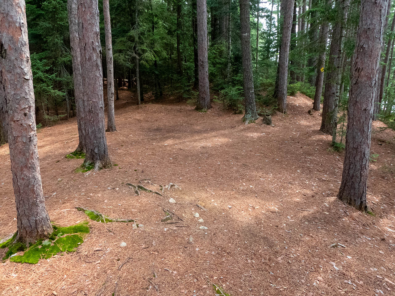
Size of open area: A rounded area provides three or four opportunities to pitch tents under the tall pines, relatively close to each other and to the firepit, in an area of approximately 15 x 60 feet.
Extent of tree cover: Tree canopy is provided by mature pines, with their lower halves being somewhat open to the lake below.
Degree of levelness: The campsite is located on a somewhat rounded height, with a narrow level section running north-south down its middle.
Number of level tent sites: The southmost part has room for 2 level tentsites. Since the rest of the campsite is rounded, additional tents are forced close to the central firepit area.
North exposure: Line of trees provides broken view of the lake.
East exposure: Trees.
South exposure: Trees.
West exposure: Trees break the view of the lake.
General description: Private campsite on a raised point with a tree-filtered sunset view.
Overall accessibility: Pronounced grade requires fair bit of up-and-down walking to-and-from the water.
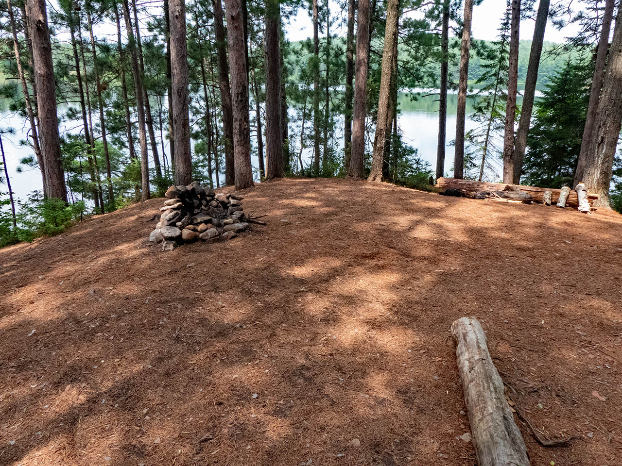
 |
|
| Looking south from the firepit area. | |
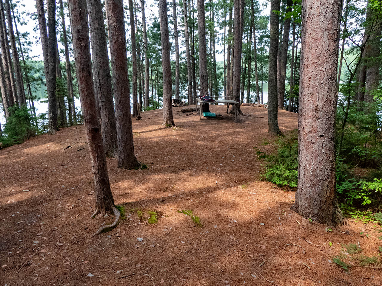
 |
|
| Looking north toward the firepit area. Access rise is off-camera, to the right. | |
 |
|
| Tentsite at the southmost end of the campsite. | |
 |
|
| Looking north from the southmost tentsite. | |
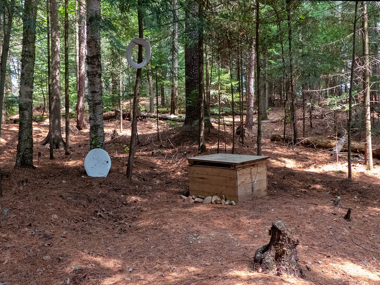 |
|
| In 2023, the thunderbox had some "accessories"! | |
Thanks to Jeffrey McMurtrie of Jeff'sMap for supplying the base-layer map component by Creative Commons licensing.
Submitted by Barry Bridgeford .. Visited July, 2023 .. Submission August, 2023