 Clydegale Lake Campsite #6
Landing
Topography of under-water approach: Sandy beach approaches from the west, with a rocky point to the south and smaller rocks to the north.
Impediments to disembarking from and/or unloading a canoe: Three or four canoes could be brought ashore at the same time. Just be careful of one medium size rock in the sand.
Topography to tent sites: A slight slope and a short narrow trail leads to the campsite.
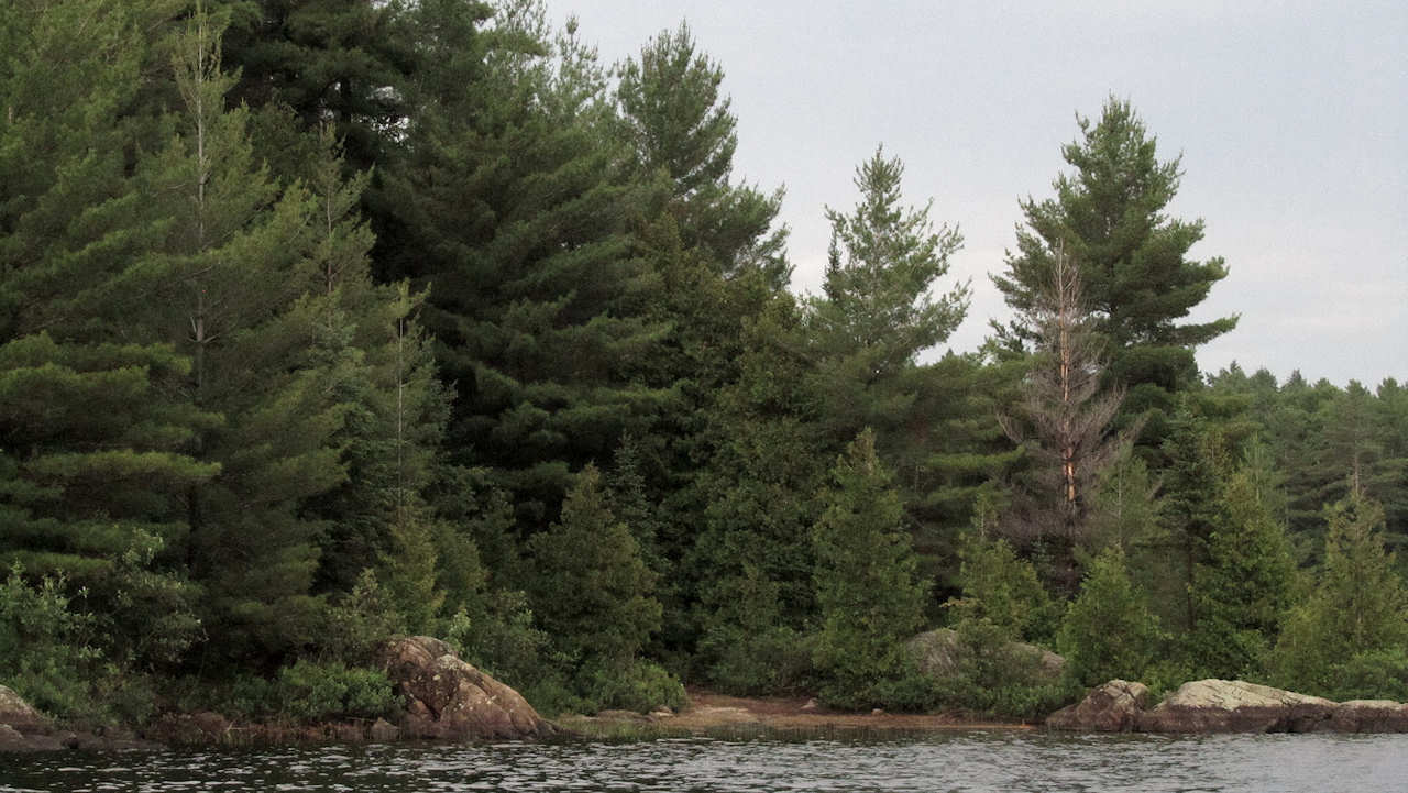
Approaching the island from the west, the small beach is barely visible amidst the trees and rocks ...
![]()
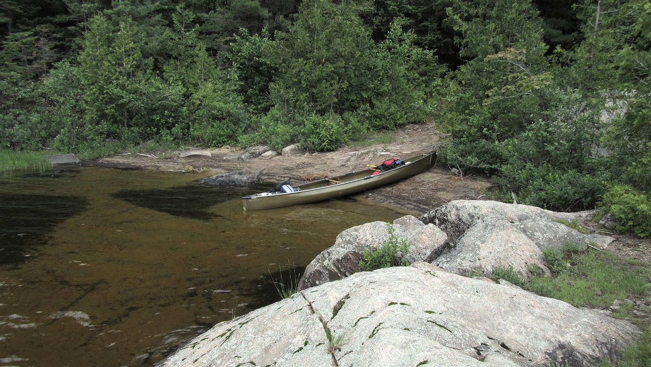
Looking down on the beach landing, from the rocky point to the south ...
![]()
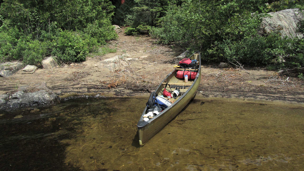
Closer view of landing, looking up trail toward actual campsite ...
![]()
Campsite
Campsite maintenance: regular
Size of open area: small.
Extent of tree cover: Substantial shade over the campsite.
Degree of levelness: Rather unlevel.
Number of level tent sites: Tentsite areas for a couple of smaller tents.
North exposure: Pines and a rise to the land block the north wind quite well.
East exposure: The island forest blocks northeast winds, while due east (sunrise) is visible from the very south part od the site.
South exposure: A few trees break-up the south view from the actual campsite. However, closer to the lake, the rock point provides a better exposure.
West exposure: A line of trees block the view, but do little to block the west wind. The rock point is also open to a great sunset view.
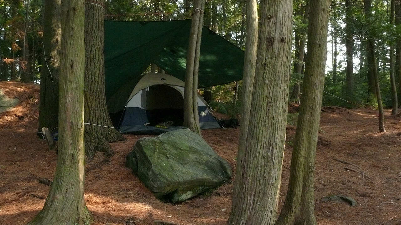
This tentsite was a distance from the firepit area, up-slope and more sheltered from the wind ...
![]()
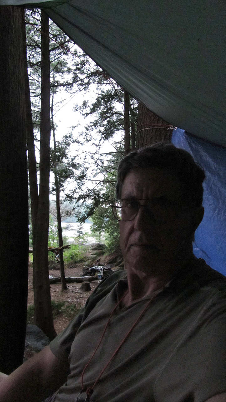
Here's an "arm's-length" self-shot from under the tent-tarp, looking west down to the firepit and beyond ...
![]()
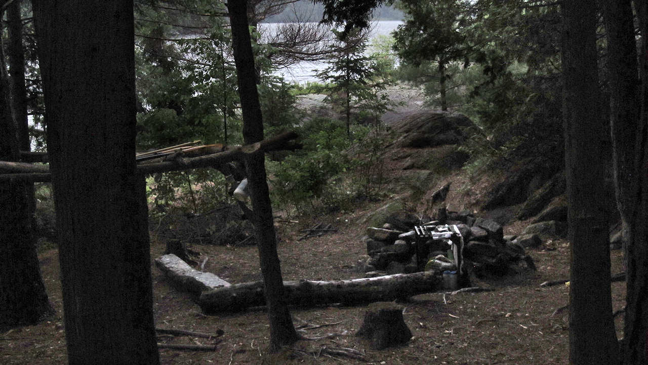
The firepit area has been somewhat "beat-up" over the years, with damaged trees and "storage-racks" ...
![]()
General description: This island campsite's private location, landing beach, and rocky point views are great. On the other hand, its firepit area is nestled in amongst rocks and trees, and lacks any real view of the lake. The campsite's forest floor has many irregular areas reducing viable "tent-space".
Overall accessibility: Easy to unload at beach, with an easy walk to the actual campsite.
Looking southwest from the beach, over the north side of the rock point and the smaller rock island ...

![]()
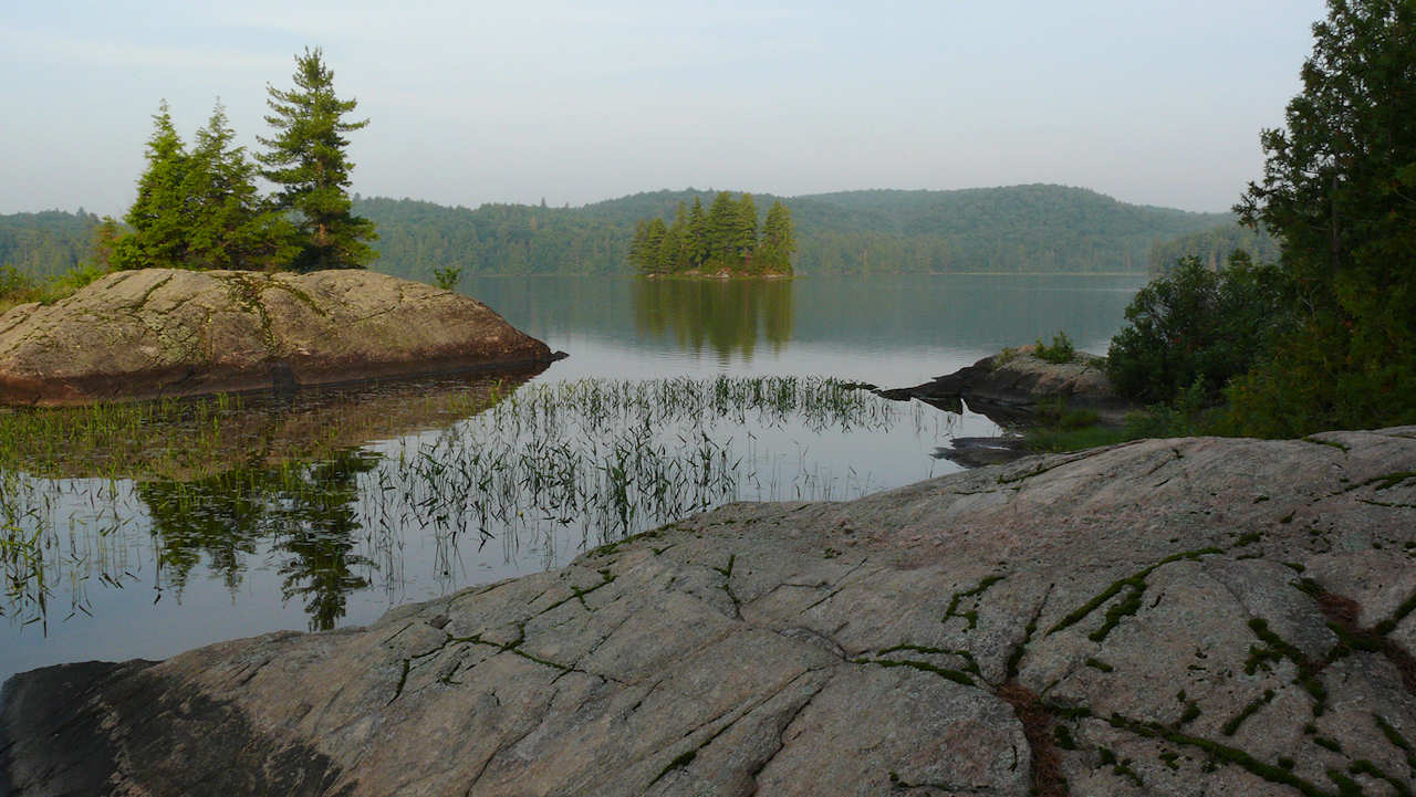
Looking west from the south side of the rock point, toward the smaller rock island and the lake's west bay ...
![]()
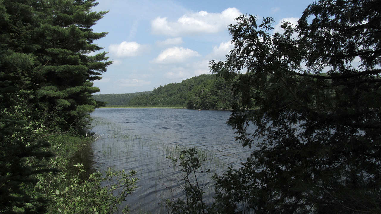
Looking east, back along the island's south shore, toward the distant swampy "sunrise" bay ...
![]()
More images in a "photo-essay" of the trip to Clydegale Lake at http://www.algonquinadventures.com/triplogs/BB/BB-20120617.html .
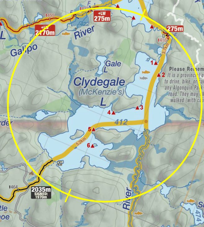
Thanks to Jeffrey McMurtrie of Jeff'sMap for supplying the base-layer map component by Creative Commons licensing.
Submission May, 2013 by Barry Bridgeford .. visited June, 2012