 Portage 695 meters - Cedar L. To Petawawa R. (Across lake, due south of Brent)
Length of portage: 695m (Portage sign says 715m) meters
Portage maintenance regular or low: Regular.
Elevation above Sea Level @ Cedar ~ 308 meters
Elevation above Sea Level @ Petawawa River ~ 329 meters
Difference in elevation: 21 meter drop between Petawawa and Cedar
Peak portage elevation: ~ 330 meters
Portage Trail general description: Steady Slope Up. Rocky to the top of the Falls where it levels out a bit and then a gradual slope to the end of the portage. The portage peaks at 330m for a total difference in elevation of 22m.
Topographical impediments to traveling: The portage is pretty good except for some rocky sections.
Areas susceptible to impact by periods of rain or beaver flooding: None
Landing at: Cedar
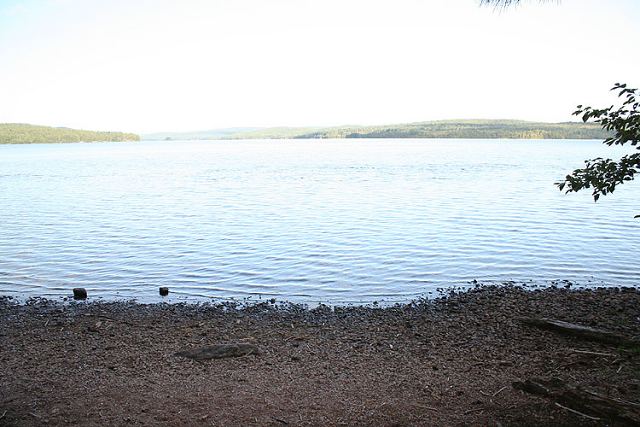
Topography of under-water approach: Gravel
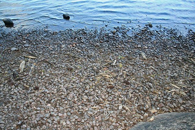
Impediments to disembarking from and/or unloading a canoe: Wide gravel landing with area for multiple canoes
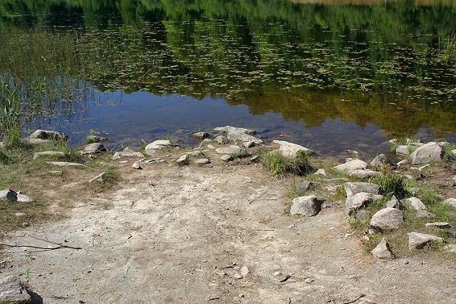
Landing at: Petawawa
Topography of under-water approach: Mud and some rocks
Impediments to disembarking from and/or unloading a canoe: Hard packed dirt and rocks

Thanks to Jeffrey McMurtrie of Jeff'sMap for supplying the base-layer map component by Creative Commons licensing.
Submitted by Sean Rowley, visited: 2009, submitted: Sept 12, 2009