 Burntroot Lake Campsite #5
Campsite Location
GPS - UTM location (optional): N45° 52.710' W78° 40.211'
Landing
Topography of under-water approach: Small rock and gravel (both landing areas).
Impediments to disembarking from and/or unloading a canoe: None.
Topography leading to tent sites: A short easy carry on smooth ground.
 |
|
| - West side landing seen from the water. | |
 |
|
| - Landing on the west side of site. | |
 |
|
| - Southeast landing seen from lake. | |
 |
|
| - Landing on the southeast side of site. | |
Campsite
Regular or low-maintenance: Regular
Size of open ground area: 25m x 15m.
Extent of tree cover: 60% open in middle of site.
Degree of levelness: Very level, in heavy rain limited runoff could be an issue.
Number of tent sites: Numerous.
North exposure: Trees.
East exposure: Trees, view of lake.
South exposure: Trees, view of lake.
West exposure: Trees, view of lake.
 |
|
| - An amazing firepit. | |
 |
|
| - Looking north from the southeast landing area. | |
 |
|
| - Looking southwest from the northeast corner of site. | |
 |
|
| - Tentpad on west side of site has a rock wall to act as a windbreak. | |
General description: A very well groomed site that is large and level. A large firepit that has had a lot of work put into it, as it even has a large rock wall to act as a windbreak. One of the tentpads has a similar rock wall.
Overall accessibility: No accessibility issues.

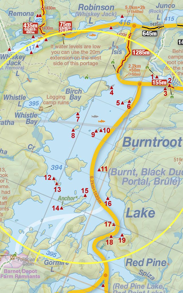
Thanks to Jeffrey McMurtrie of Jeff'sMap for supplying the base-layer map component by Creative Commons licensing.
Submitted by: Chris Taylor .. Visited July 2015 .. Submission November 28th, 2015