 Burnt Island Lake Campsite #39
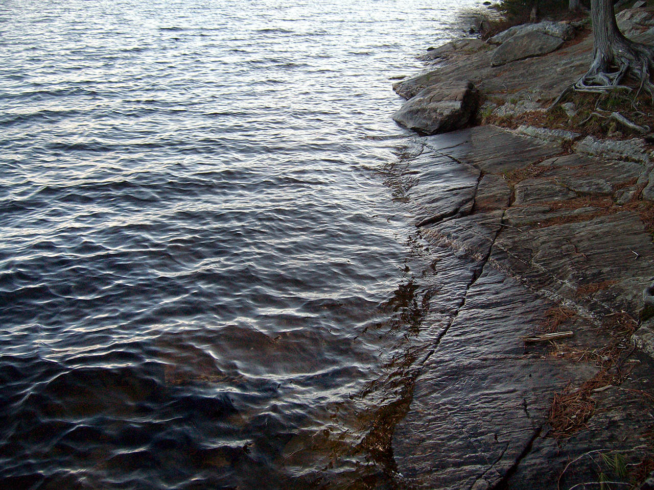
Landing
Topography of under-water approach: Steep sloped rocks all along the immediate campsite. There's a small inlet to the right of the site with a small notch which allows a canoe to unload to a small landing. There's a 20 foot walk to the site, west side entrance.
Impediments to disembarking from and/or unloading a canoe: The entire frontage of the site has steep front with sloped rocks .. 15+ feet up to the campsite's level ground.
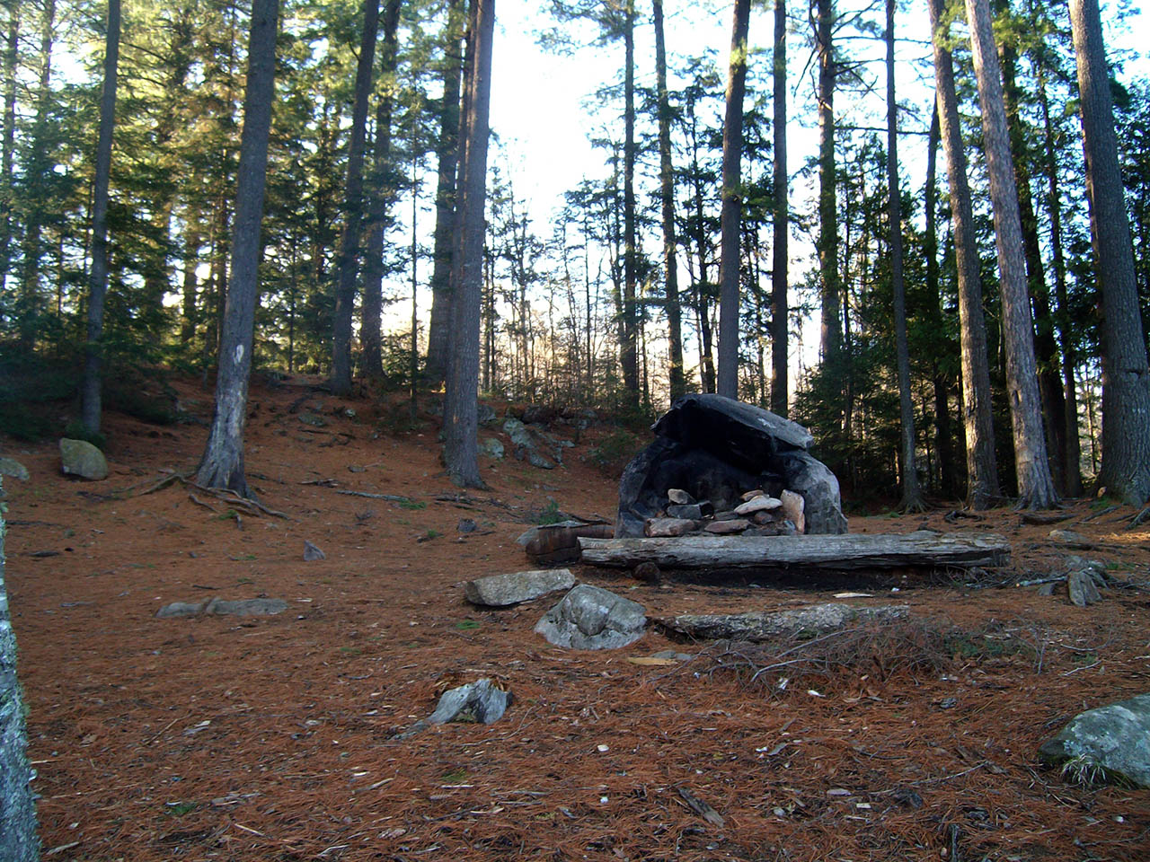
Topography to tent sites: Once the climb is done, the west side of the site is narrow but flat, leading to the middle of the site that slopes all the way up to the main tree line at the back of the site. The site is mainly sloped with several (3 to 5) small flat areas for tents. There's a large firepit in the middle of the site which is backed by a large rock which reflects heat.
Landing to the site ...
![]()
Campsite
Regular or low-maintenance: Regular
Size of open area: 60+ feet by 40 feet, with small narrow open areas on either side of the site.
Extent of tree cover: Mainly covered with tall pine trees all around the site, providing a small amount of sunlight after sunrise.
Degree of levelness: Level surface with consistent slope to the top of the hill. There are several small flat areas for tents
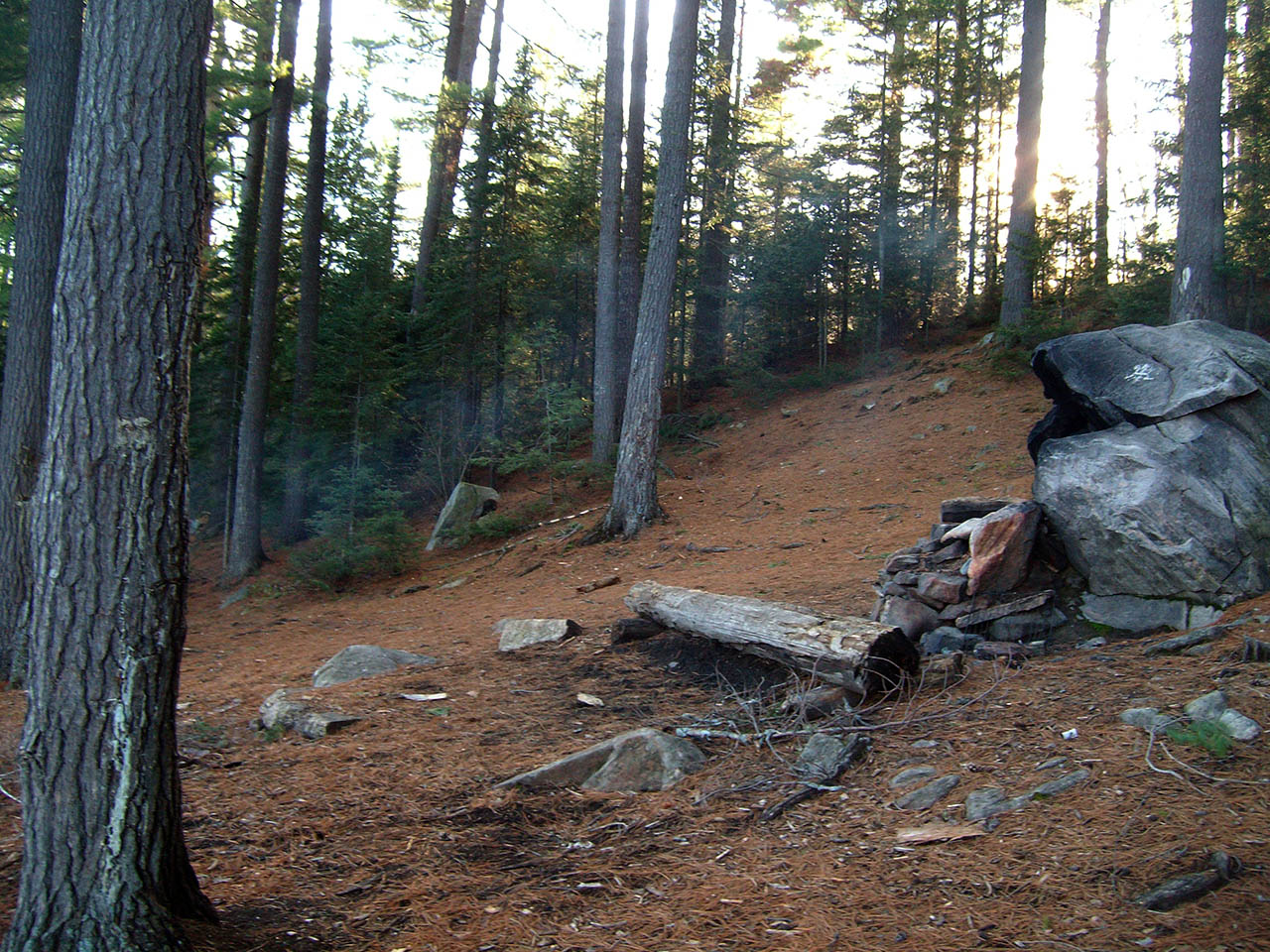
North to the back of the campsite ...
![]()
Looking west across the campsite ...
![]()
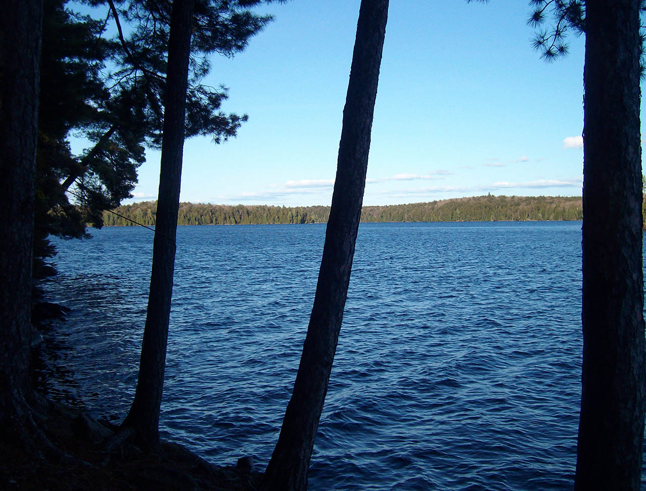
Looking south across the lake ...

![]()
Looking east across the lake ...
![]()
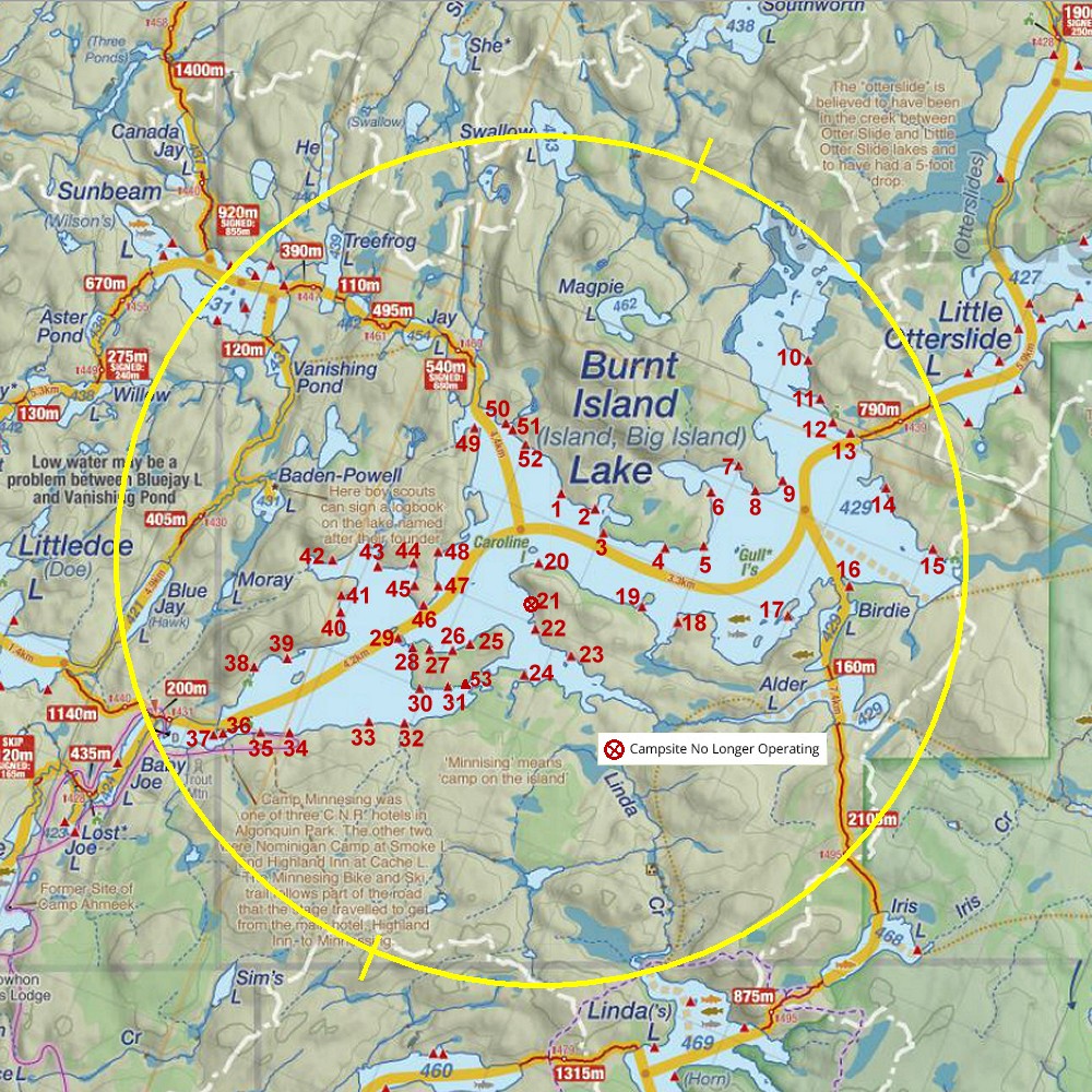
Thanks to Jeffrey McMurtrie of Jeff'sMap for supplying the base-layer map component by Creative Commons licensing.
Submission August, 2014 by Toby Clipperton .. visited May, 2014