 Bonnechere Lake Campsite #3
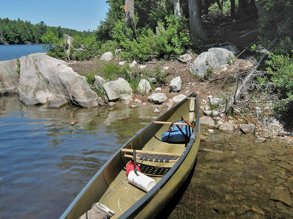
Landing
Topography of under-water approach: Rocky beach beside some larger rocks.
Impediments to disembarking from and/or unloading a canoe: Necessary to step out into water to unload.
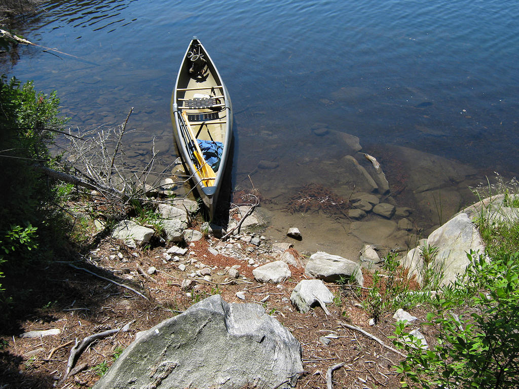
Topography to tent sites: 15' rough grade (at around 30 degrees) to the firepit area.
Landing is a small rocky beach, with a rise to the firepit area ...
![]()
Looking down from the firepit area to the landing ...
![]()
Campsite
Campsite maintenance: regular
Size of open area: None
Extent of tree cover: Entirely treed over.
Degree of levelness: Small area around firepit is level enough for one tent close-by. There's a steep ascent to a second tentsite.
Number of level tent sites: Limited area supports only two tents.
North exposure: Treed shoreline severely limits view. However the north wind can slip in under the overhanging trees.
East exposure: Solid forest.
South exposure: Trees limit the view and block the sun.
West exposure: Trees limit the view and block the sun.
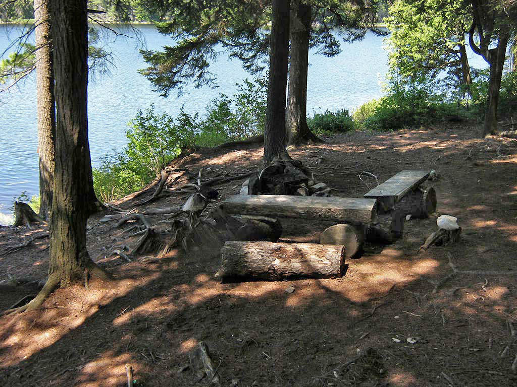
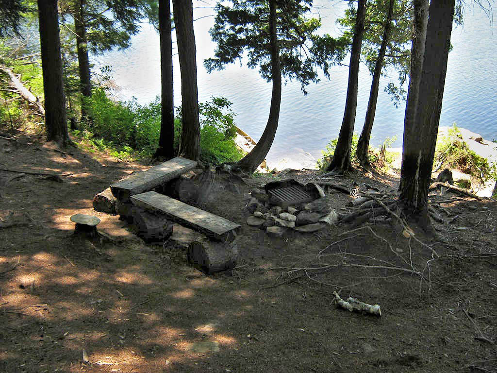
Firepit area which includes a single tentsite close-by ...
![]()
Firepit area which includes a single tentsite close-by ...
![]()
General description: This is a very shaded, small and rough campsite. And there's a steep rocky-gulch climp up to the thunderbox. The only full view of the lake is from one shoreline rock area. Being located at the south end of the lake, the view across isn't all that great.
Overall accessibility: Considerable climbing up and down within the campsite.
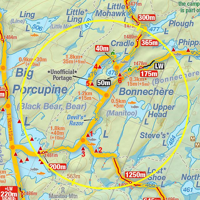
Thanks to Jeffrey McMurtrie of Jeff'sMap for supplying the base-layer map component by Creative Commons licensing.
Submission April, 2012 by Barry Bridgeford .. visited July, 2011