 Bonnechere Lake Campsite #2
Landing
Topography of under-water approach: Dirt beach is located behind the rocky point.
Impediments to disembarking from and/or unloading a canoe: None, but necessary to step out into water to unload.
Topography to tent sites: 15' rise over distance of about 30' to the firepit area.
From the lake, the landing isn't visible ...

![]()
The landing is tucked behind the south end of the rock point ...

![]()
Campsite
Campsite maintenance: regular
Size of open area: Openings amidst the pines are scattered along the length of the rock point.
Extent of tree cover: Entire length of the point has mature pines. However, being on a narrow point, the campsit is open to the elements from the south, east and west. The thunderbox is on the mainland, past an open bushy area.
Degree of levelness: Individual level areas are scattered down the length of the campsite's point.
Number of level tent sites: Plenty of level areas scattered at a distance down the length of the point. Visits to the thunderbox involve walking close by all the tentsites.
The firepit overlooks the east bay and is somewhat sheltered and can be tarped if necessary ...

![]()
This tentsite is partially protected from the east by young trees ...

![]()
This tentsite is part way along the point, close to the rock cliff that faces to the west ...

![]()
This tentsite is quite far from the firepit ...

![]()
North exposure: Forested mainland comprises the north end of the point.
East exposure: Overlooking a small, long bay that parallels the point.
South exposure: Large open bay provides sun and breeze from the south.
West exposure: Main part of the lake provides sun, breeze and sunset view along the west side of the point.
The view looking west from atop the rock cliff, which runs along the length of the campsite ...

![]()
General description: This campsite can house a number of tents. While it's sheltered from the mid-day sun by its pines, in the afternoon it can receive both sun and wind. It's view is breath-taking. However, having the cliff can make it dangerous for youngsters. Being on a long and narrow point means there's quite a distance to walk between the landing, firepit, tentsites and the thunderbox. In windy weather the entire point would be quite exposed, possibly necessitating protective tarps.
Overall accessibility: Slight climb from landing and lots of walking along the length of the point.
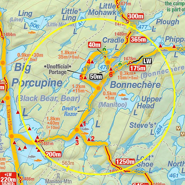
Thanks to Jeffrey McMurtrie of Jeff'sMap for supplying the base-layer map component by Creative Commons licensing.
Submission April, 2012 by Barry Bridgeford .. visited July, 2011