 Biggar Lake Campsite #10
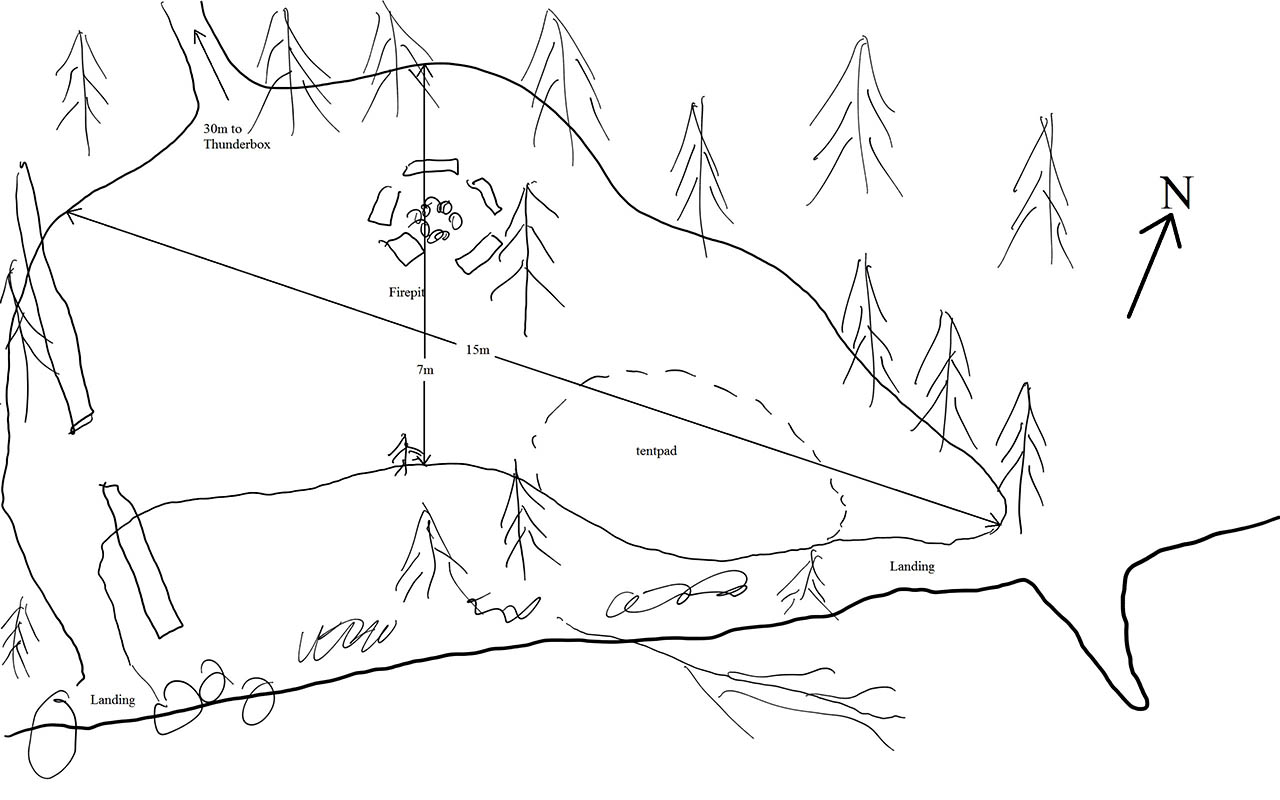
Landing
Topography of under-water approach: : Rock and gravel.
Impediments to disembarking from and/or unloading a canoe: 2 landing areas. Landing at west side of site can accomodate 1 canoe. Landing at east side is protected somewhat from wind but must load/unload over a rocky shore.
Topography to tent sites: From west landing, a carry up and over of approx. 10m to firepit or tentpad. From east landing an easy carry to the tentpad.
 |
|
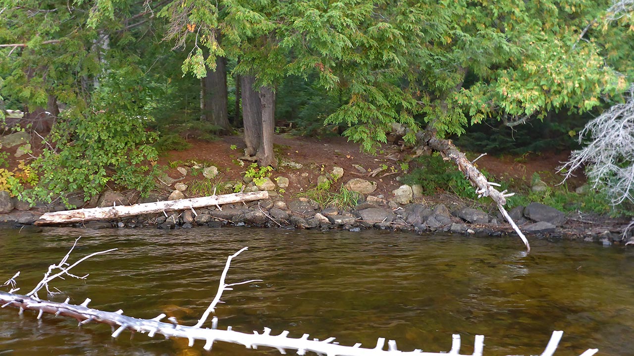
| East landing area. | |
 |
|
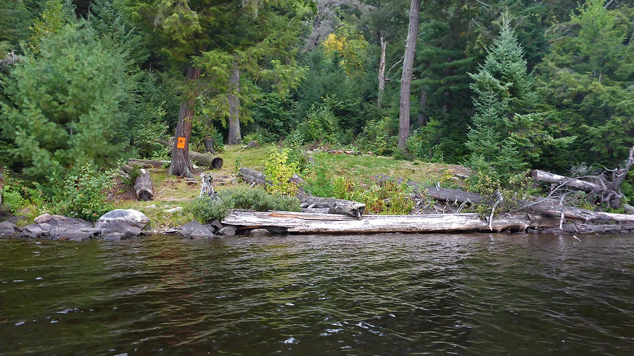
| West landing area. | |
 |
|
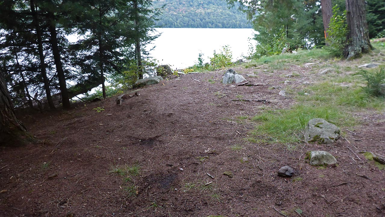
| Looking from path to thunderbox at western landing area. | |
Campsite
Campsite maintenance: Regular
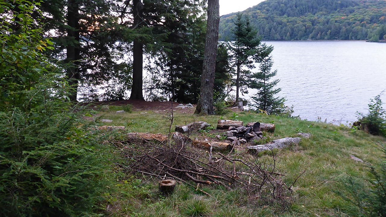
Open ground area: 15m x 7m.
Extent of tree cover: 20% .
Degree of levelness: Level only at tentpad.
Number of tent sites: 1.
North exposure: trees.
East exposure: trees and view of lake.
South exposure: view of lake.
West exposure: trees.
General description: Only 1 place level enough to tent on. Very significant slope throughout the site. Very open sunny site, well protected from any westerly wind.
Overall accessibility: The slope from the west landing, and the rocks at the east landing make accessibility a slight concern.
 |
|
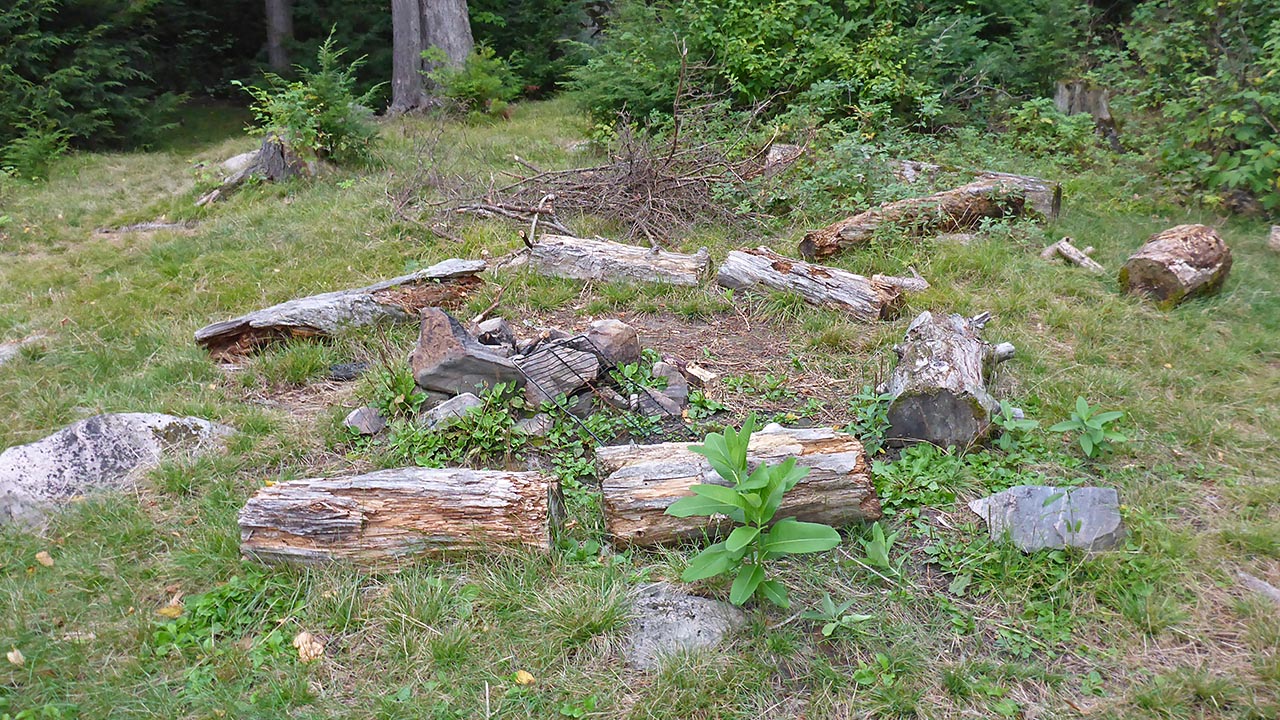
| Firepit. | |
 |
|
| Looking from path to thunderbox. | |
 |
|
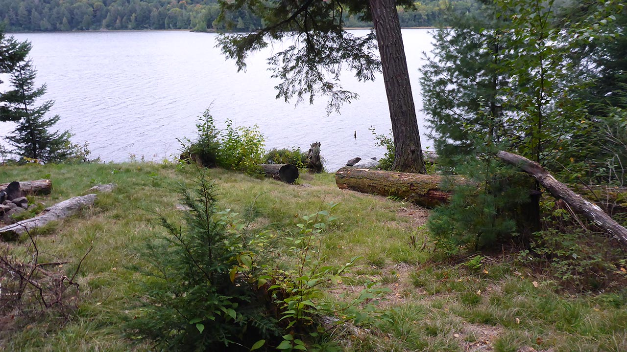
| Tentpad is quite level. | |
 |
|
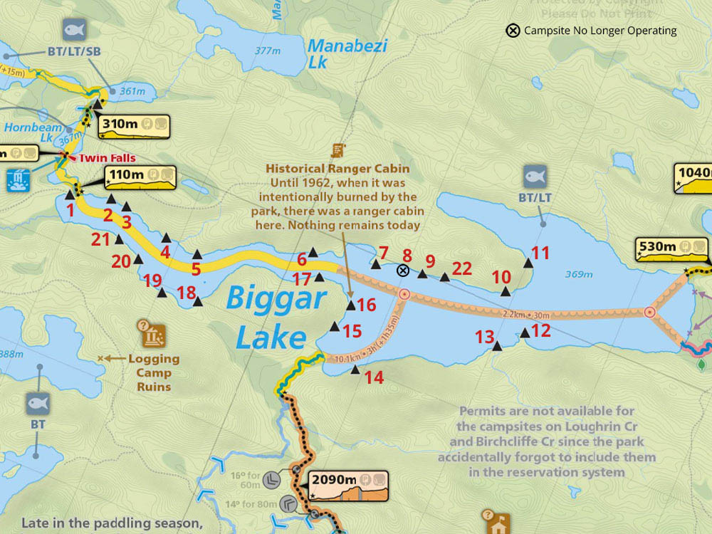
Thanks to Jeffrey McMurtrie of Maps By Jeff for supplying the base map.
Submission by Chris Taylor Feb. 2017 ... visited September 2016