 Big Trout Lake Campsite #31
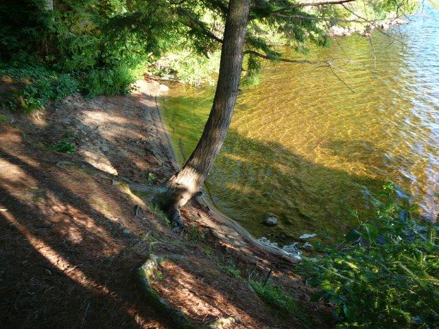
Landing
Topography of under-water approach: Shallow sandy appoach to sandy beach.
Impediments to disembarking from and/or unloading a canoe: None.
Topography to tent sites: : 0.5m stepup up to the site.
East landing view from campsite back down the length of the lake ...
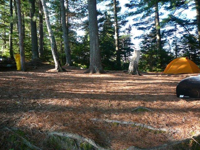
Campsite
Regular or low-maintenance: Regular Maintenance.
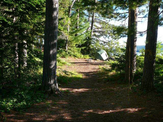
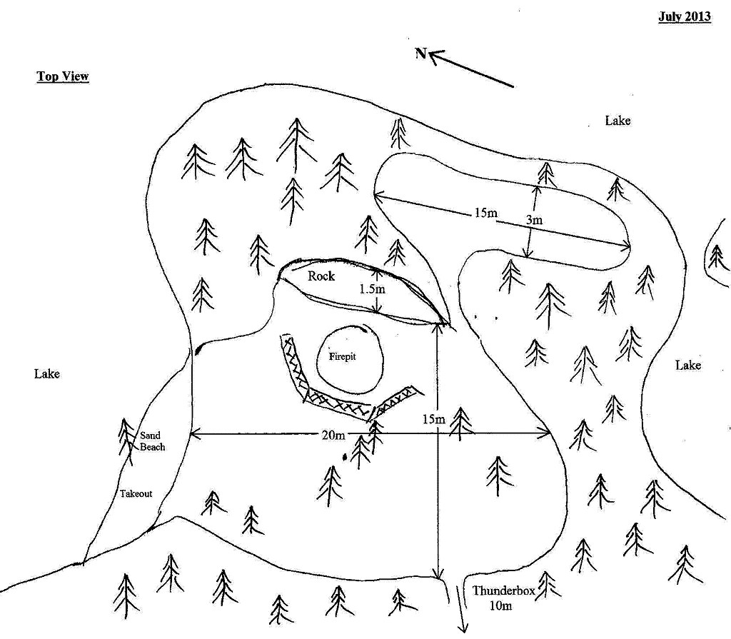
Size of open area: 20m x 15m and 15m x 3m, with additional tent pad(s).
Extent of tree cover: Extensive for 20m x 15m area, partial for 15m x 3m area.
Degree of levelness: Main site slopes slightly from rock outward.
Number of level tent sites: 5+.
North exposure: Beach area.
East exposure: : Firepit rock and trees, additional tent pad area is exposed to lake.
South exposure: Trees.
West exposure: Trees.
General description: The big rock that protects the firepit adds character to this site. Ground is somewhat uneven, so finding that right spot for your tent can be a bit of a challenge. Additional tent pad area has full morning and afternoon sun with a couple of spots for tent setup. Very little sun in the main area. Winds from north to west seemed to be funnelled into the site from the beach.
Overall accessibility: Slight step up from beach landing makes this site very accessible.
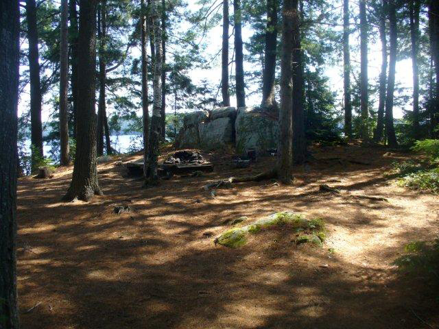
Main site seen from takeout ...
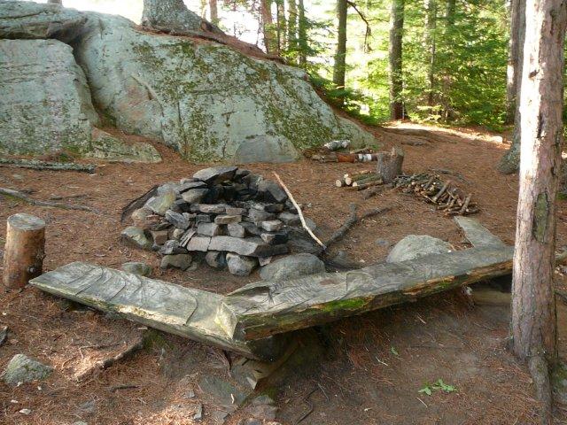
Firepit and main area looking north east ...
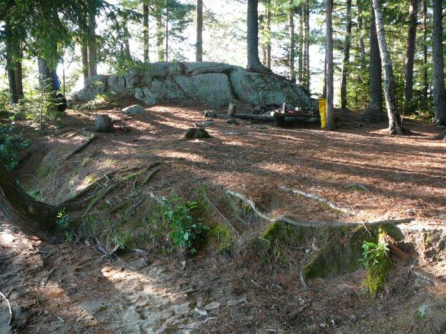
Top of rock looking southwest ...
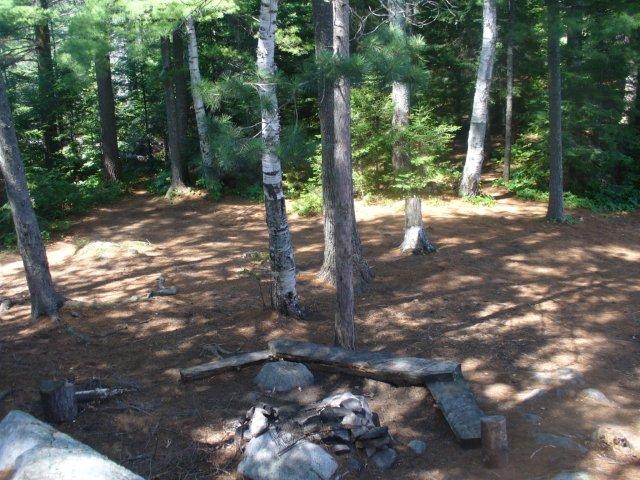
Firepit with large protective rock ...
Firepit seen from takeout ...
Extra tent pad east of firepit ...
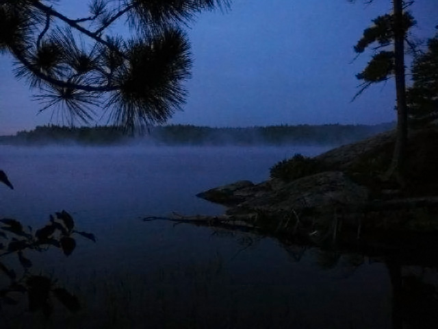
Island to south of site in early morning mist ...
Campsite diagram ...
![]()
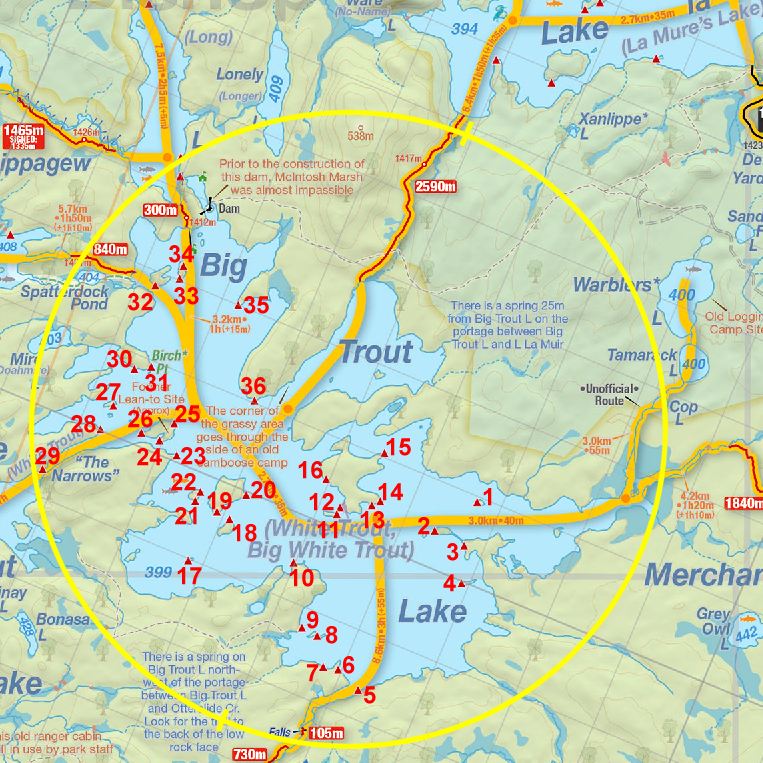
Thanks to Jeffrey McMurtrie of Jeff'sMap for supplying the base-layer map component by Creative Commons licensing.
Submitted by: Chris Taylor .. Visited: 2013 .. Submission: September, 2013