 Big Porcupine Lake Campsite #13
Submission #1
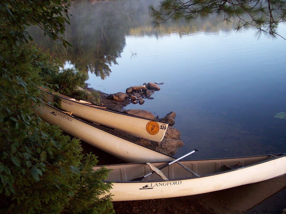
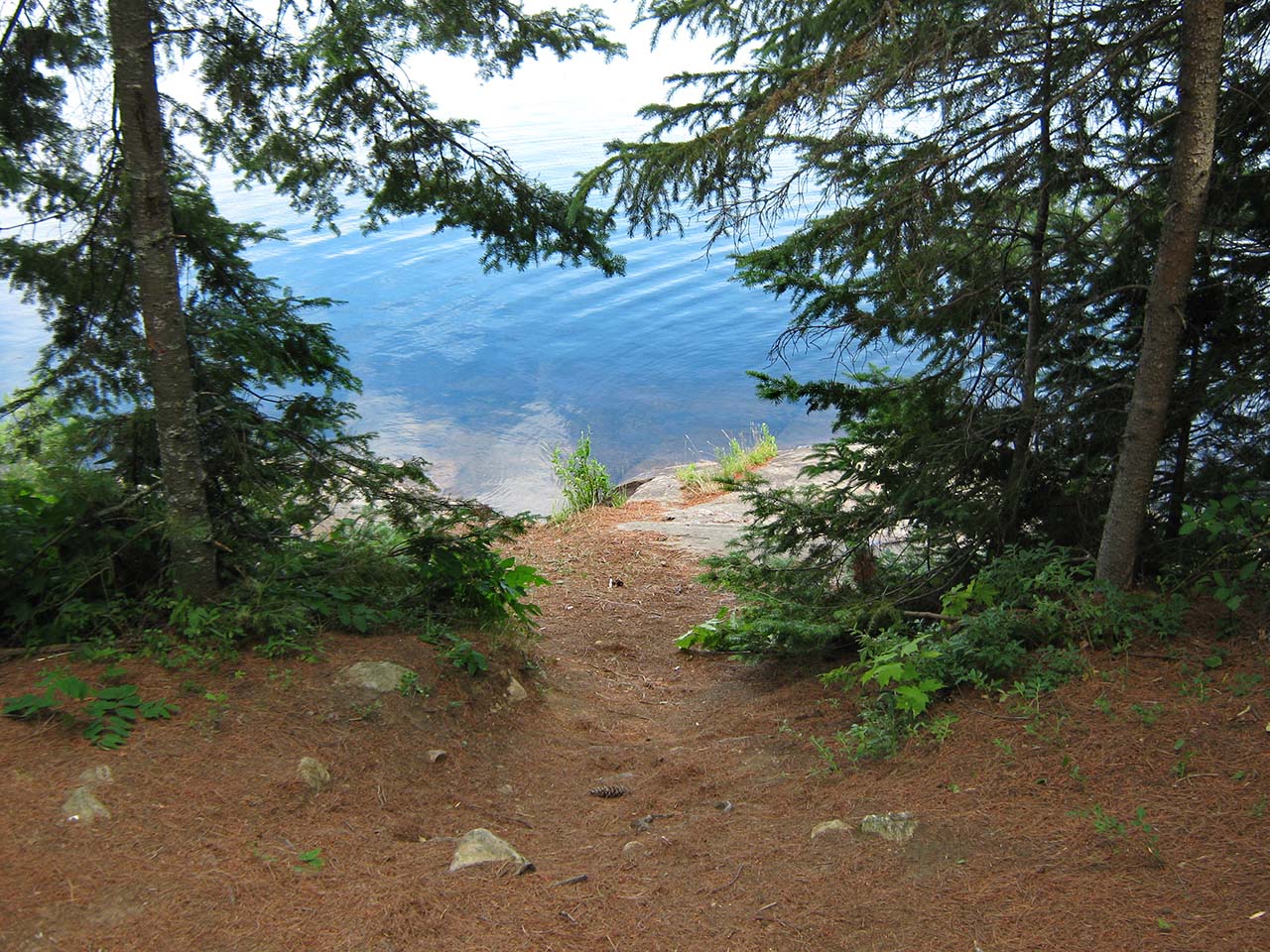
Landing
 |
|
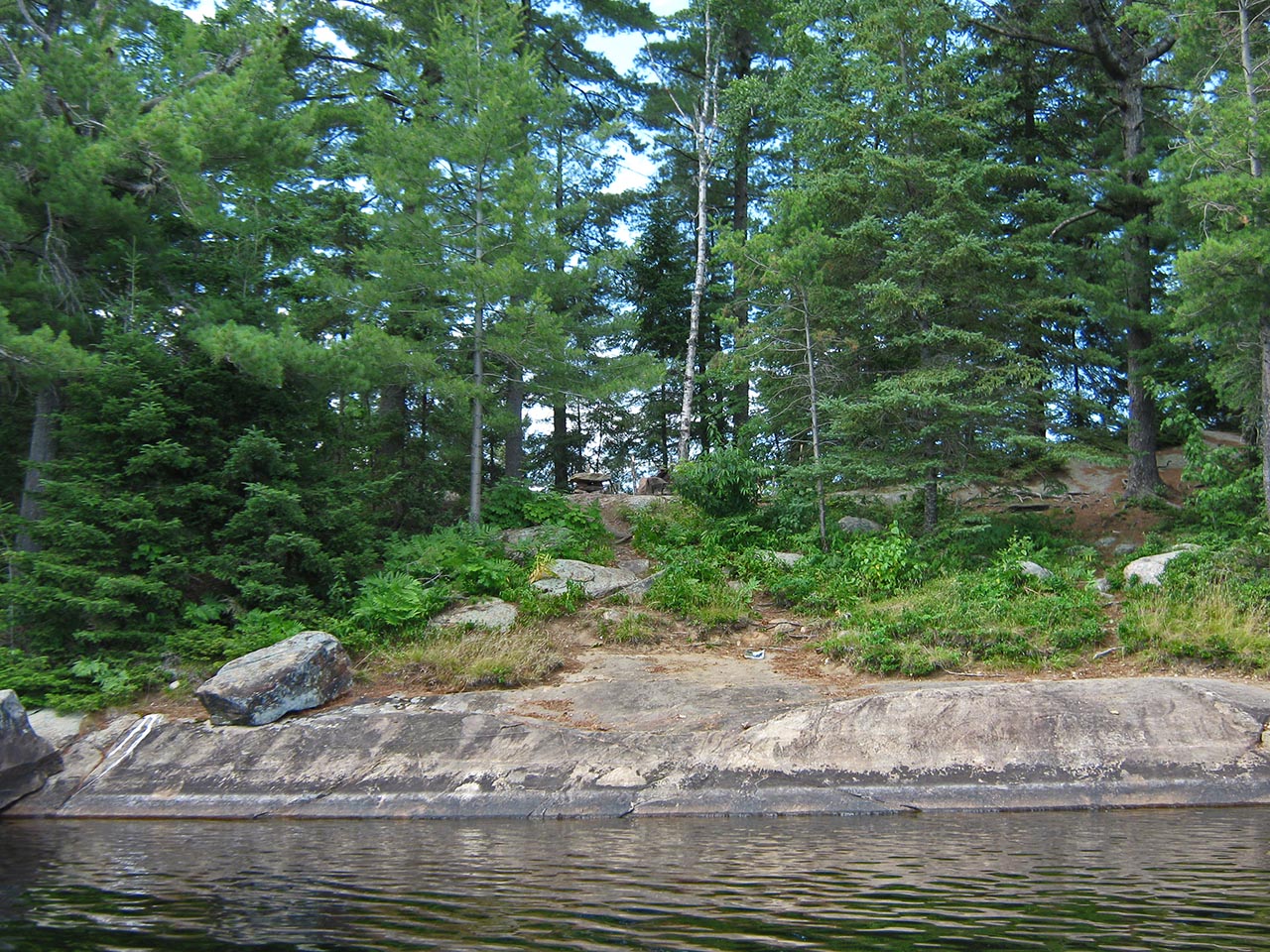
| - A rock landing area on the east side. | |
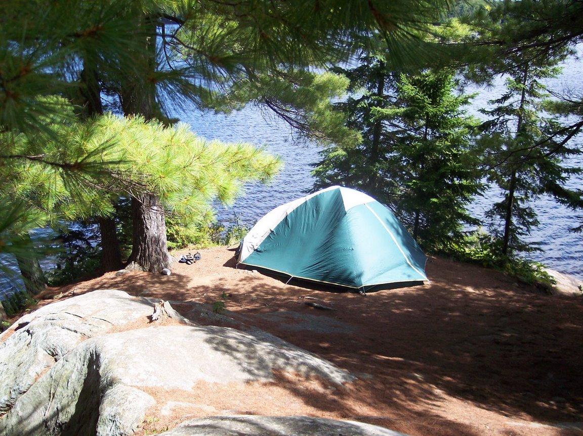
Campsite
Campsite maintenance: regular
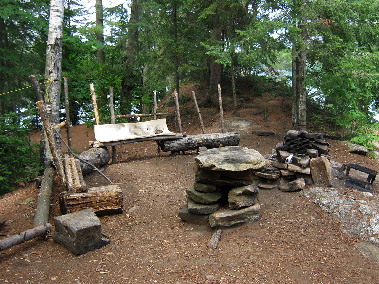
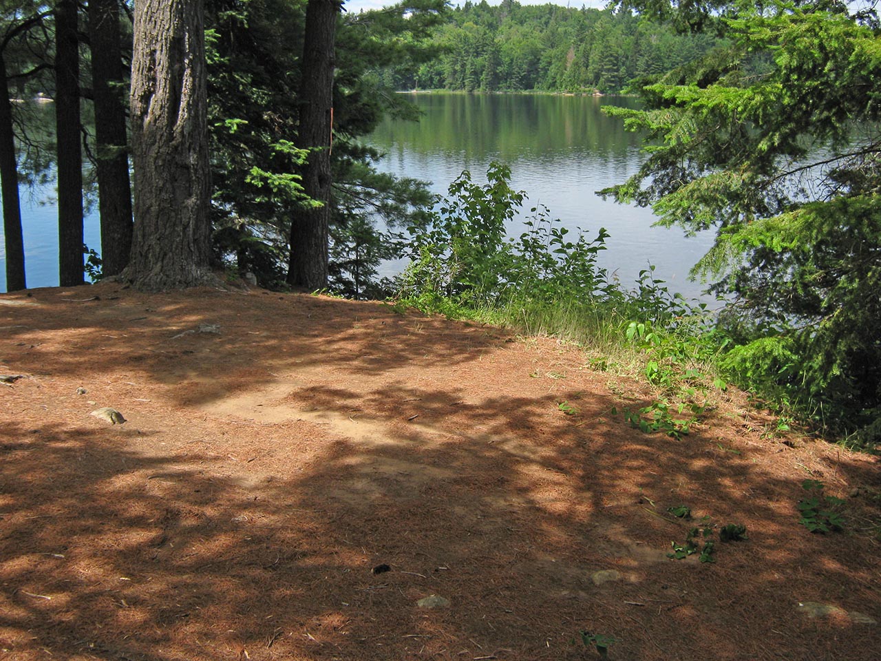
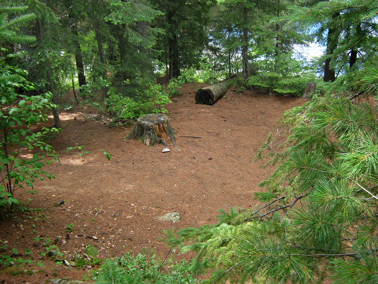
Size of open area: Very very large, actually two campsites in one, nice fire pit with benches. The removed site next door is accessible from the site. It provides another swimming - fishing area away from the main site.
Extent of tree cover: just nice, some open area by the fire pit.
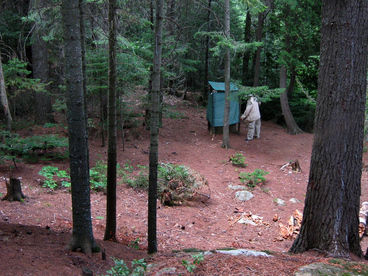
Degree of levelness: up a slight incline from the landing areas, very level across the entire site, down a hill to the privy
Number of tent sites: three very easily.
North exposure: treed.
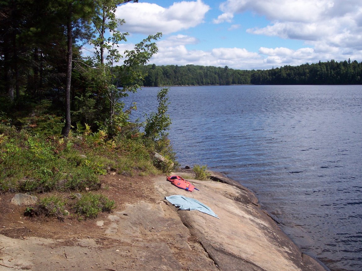
East exposure: a rock landing area on the east side ...
 |
|
| - South exposure: a rock "porch" on the south (just to the right of the tent). | |
 |
|
| - West exposure: the best swimming "porch". | |
General description: Beautiful site.
Overall accessibility: Three landing areas with easy access.
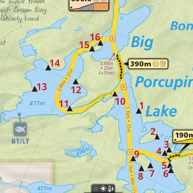
Thanks to Jeffrey McMurtrie of Maps By Jeff for supplying the base map.
Submitted by: Tom Yates .. Visited: 2005 .. Submission: Jan. 21 2009
Submission #2
Landing
Topography of under-water approach: Depending on water levels, at least one of the three landings should provide a clear approach.
Impediments to disembarking from and/or unloading a canoe: Sloped rocks at two of the landings could be slippery if wet. Expect to probably have to step out into water to unload.
Topography to tent sites: 20+' substantial slope to actual firepit and tentsite areas.
 |
|
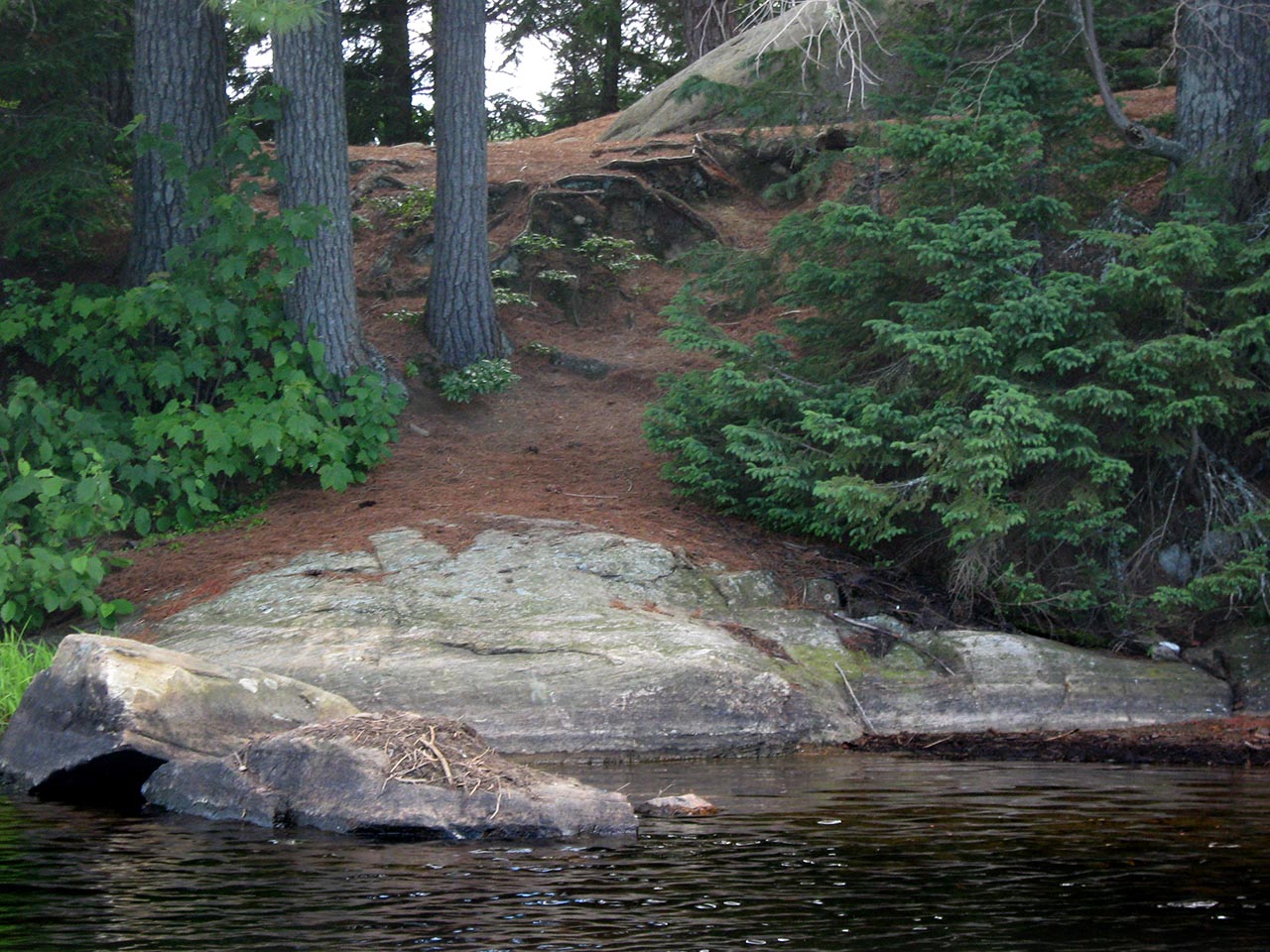
| - Large sloped rock on the east side. Rock table and firepit are visible at top. | |
 |
|
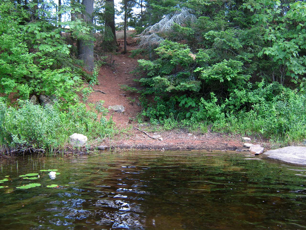
| - Further around the point is this landing. | |
 |
|
| - And this landing .. three in all. | |
Campsite
Campsite maintenance: regular
Size of open area: Quite large and spread out, with tentsites to the northwest, northeast and south at varying level heights relative to the firepit area.
Extent of tree cover: Substantial large trees all about. However, actual firepit arera is open to the sky.
Degree of levelness: Considerable grade from the landings to the actual campsite. Individual tentsites and firepit area are level. However there's more climbing involved accessing the thunderbox.
Number of tent sites: At least three.
North exposure: Line of trees along the shoreline ridge.
East exposure: Somewhat open view from the firepit. Trees on the shoreline grade block most of the view from the tentsites.
 |
|
| - Firepit area, looking north toward the point and two of the tentsites. | |
 |
|
| - Tentsite near the point. | |
 |
|
| - Another tentsite lower down and to the northwest. | |
 |
|
| - Looking down to the water from the campsite. | |
 |
|
| - Looking down to the thunderbox from the campsite. | |
General description: A large, 'rambling' site which has been 'hacked about' a bit. Although it is located on a point, it doesn't have a scenic view. And the thunderbox location certainly isn't private.
Overall accessibility: The rises from the landings to the campsite and back down to the thunderbox could prove somewhat tedious.
Submitted by: Barry Bridgeford .. Visited: 2011 .. Submission: Jan. 26 2015