 Big Porcupine Lake Campsite #1
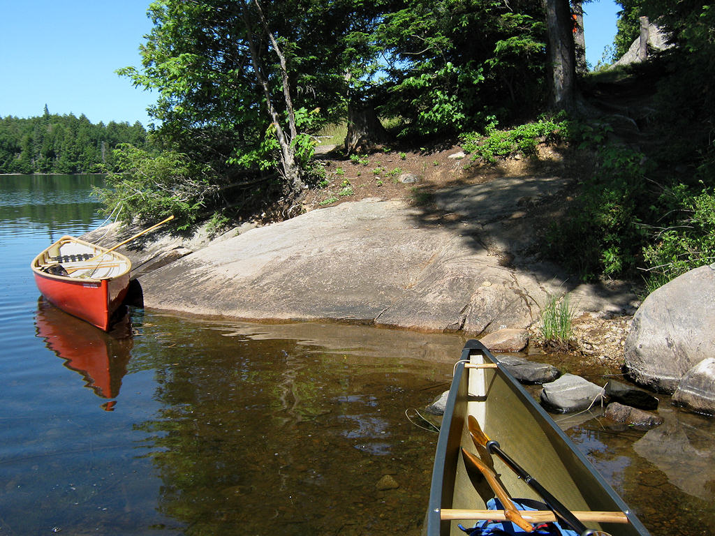
Landing
Topography of under-water approach: Rock point has small sheltered gravel beach on its south side.
Impediments to disembarking from and/or unloading a canoe: Sloped rock could be slippery if wet. Gravel area to east could require stepping out into water.
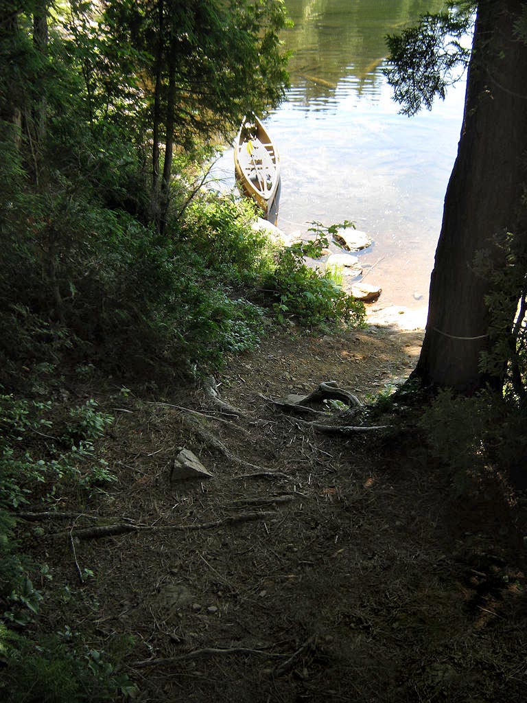
Topography to tent sites: 15' rise to actual firepit and tentsite area, which is located way back into the trees.
 |
|
| - From the gravel beach landing and ascending by a trail through the trees. | |
 |
|
| - Looking down the trail notched through the trees. | |
Campsite
Campsite maintenance: regular
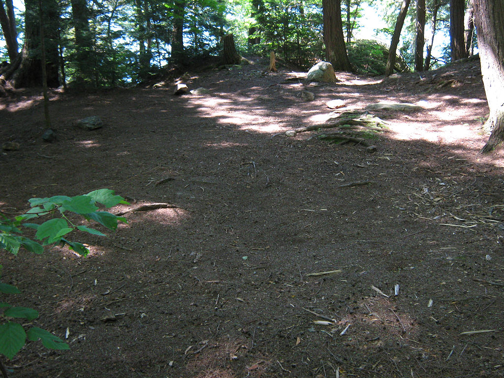
Size of open area: 50' x 50'.
Extent of tree cover: Front 50' x 50' grassed ledge is 80% open. Firepit area is 90% covered. Tentsite area is also 90% covered.
Degree of levelness: The front ledge has a slight slope toward the lake. The firepit area is ver rough. The tentsite area is quite level.
Number of level tent sites: Limited tentsite area .. no more than three two person tents .. close together!
North exposure: Protected from the north winds by intervening trees.
East exposure: Dense forest blocks all east winds.
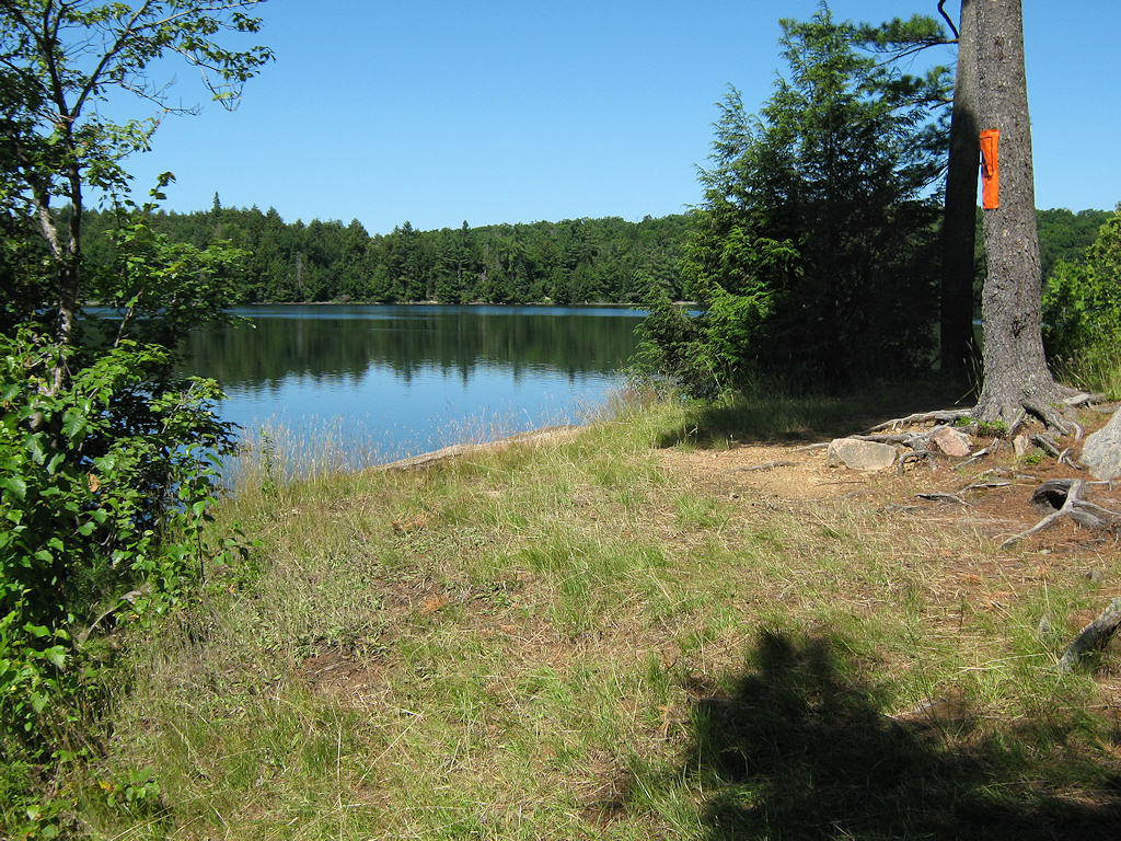
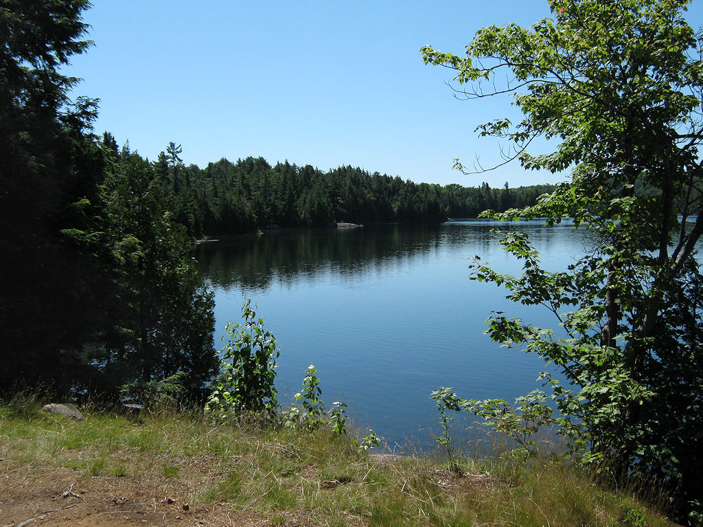
South exposure: Grassed ledge is open to the south. Balance of site is sheltered.
West exposure: Grassed ledge is open to the west.
 |
|
| - 20' up from the lake is this grassed ledge. Here's the view to the west. | |
 |
|
| - And here's the view to the south from the grassed ledge. | |
 |
|
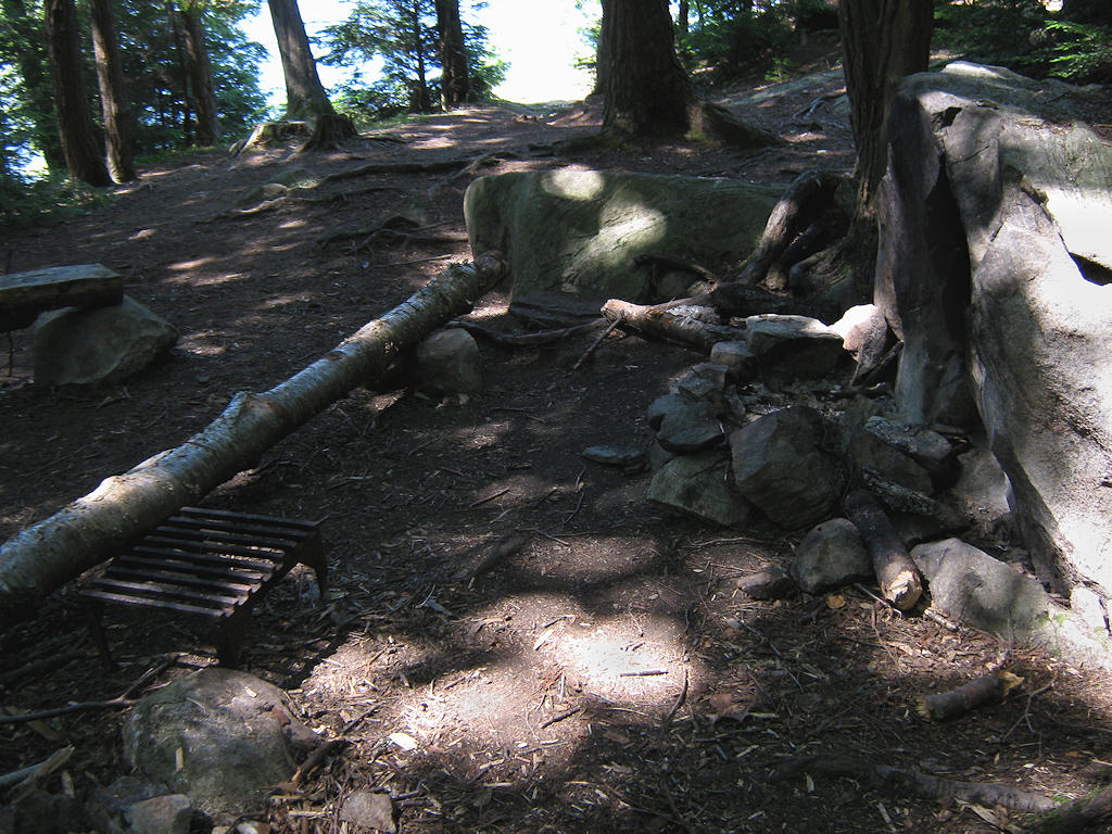
| - Another 10' upward and into the trees is the firepit with its reflector rock. | |
 |
|
| - Still another rise takes one to the reather small tentsite area. | |
General description: Good for small group, limited tent capacity. Great afternoon sunning spot and sunset view.
Overall accessibility: Requires a lot of climbing up-and-down from one ledge to another.
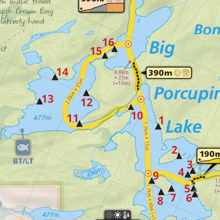
Thanks to Jeffrey McMurtrie of Maps By Jeff for supplying the base map.
Submission March, 2012 by Barry Bridgeford .. visited July, 2011